| Memorials | : | 0 |
| Location | : | Hurtsboro, Russell County, USA |
| Coordinate | : | 32.2121570, -85.3583410 |
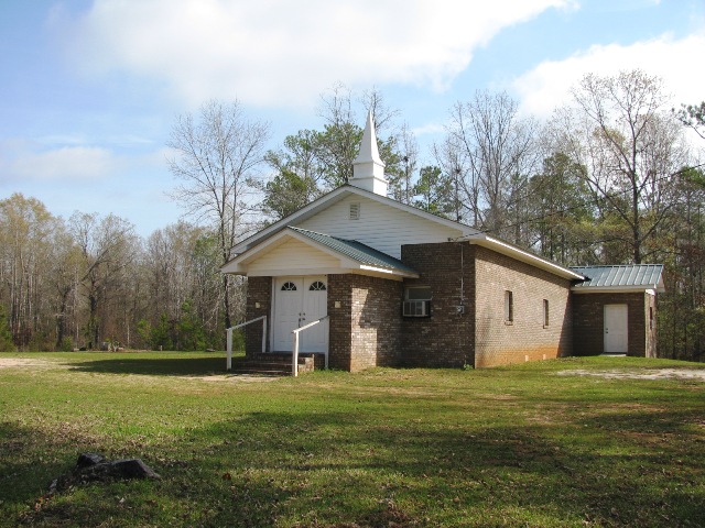
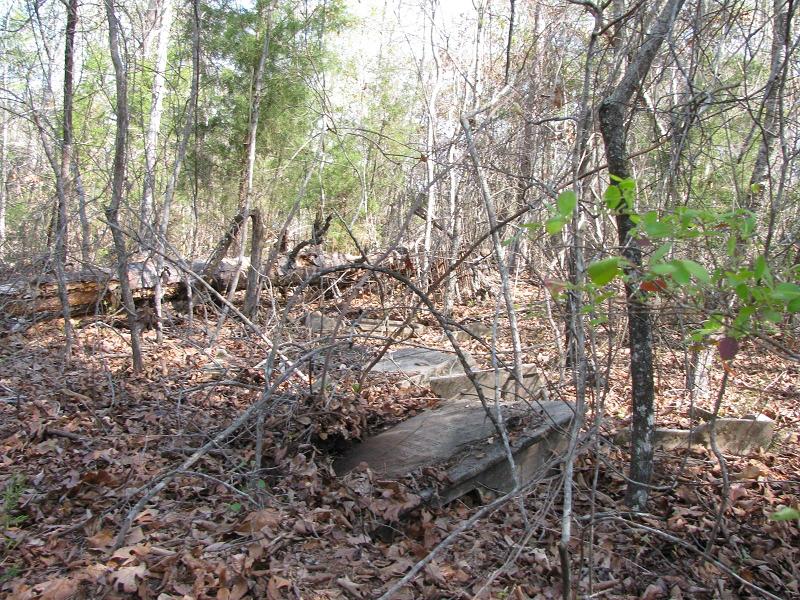
| Description | : | This cemetery is back in the woods, off a dirt road that forks off headed northwest from the drive to what is now Hurt's Chapel African Methodist Episcopal Church (which also has a cemetery, adjacent to the church house). This cemetery was associated with Olivet Methodist Church, established 1865, before it burned down and the congregation moved into Hurtsboro (by 1876). Memorials for several graves in this cemetery have already been posted to "Hurts Chapel Cemetery," but census records indicate that those buried at Olivet are White, while those buried at Hurt's Chapel would be African-American. |
frequently asked questions (FAQ):
-
Where is Olivet Methodist Cemetery?
Olivet Methodist Cemetery is located at Hurtsboro, Russell County ,Alabama ,USA.
-
Olivet Methodist Cemetery cemetery's updated grave count on graveviews.com?
0 memorials
-
Where are the coordinates of the Olivet Methodist Cemetery?
Latitude: 32.2121570
Longitude: -85.3583410
Nearby Cemetories:
1. Hurts African Methodist Episcopal Chapel
Hurtsboro, Russell County, USA
Coordinate: 32.2110670, -85.3582230
2. Ebenezer Baptist Church Cemetery
Hurtsboro, Russell County, USA
Coordinate: 32.2026900, -85.3800100
3. Friendship Baptist Church Cemetery
Hurtsboro, Russell County, USA
Coordinate: 32.2428670, -85.3293680
4. Mount Missouri Baptist Church Cemetery
Rutherford, Russell County, USA
Coordinate: 32.1938210, -85.3149720
5. Old Nero Baptist Church Cemetery
Hurtsboro, Russell County, USA
Coordinate: 32.2349380, -85.4009450
6. Hurtsboro Cemetery
Hurtsboro, Russell County, USA
Coordinate: 32.2442017, -85.4180984
7. Ross Chapel AME Zion Church Cemetery
Hurtsboro, Russell County, USA
Coordinate: 32.2396830, -85.4216130
8. Battle Cemetery
Rutherford, Russell County, USA
Coordinate: 32.1723300, -85.3044800
9. Saint Paul AME Church Cemetery
Hurtsboro, Russell County, USA
Coordinate: 32.2473500, -85.4169240
10. First Missionary Baptist Church Cemetery
Hurtsboro, Russell County, USA
Coordinate: 32.2402260, -85.4224100
11. Zion Hill Baptist Church Cemetery
Hatchechubbee, Russell County, USA
Coordinate: 32.2289200, -85.2851820
12. Brown Road Cemetery
Russell County, USA
Coordinate: 32.1897011, -85.4302979
13. Shady Grove AME Zion Church Cemetery
Hurtsboro, Russell County, USA
Coordinate: 32.2793010, -85.3740780
14. Shady Grove Baptist Church Cemetery
Rutherford, Russell County, USA
Coordinate: 32.1561950, -85.3079400
15. Antioch Missionary Baptist Church Cemetery
Pittsview, Russell County, USA
Coordinate: 32.1937180, -85.2585410
16. Mount Sinai Baptist Church Cemetery
Hatchechubbee, Russell County, USA
Coordinate: 32.2808640, -85.2863270
17. Hatchechubbee United Methodist Church Cemetery
Hatchechubbee, Russell County, USA
Coordinate: 32.2725440, -85.2738180
18. Nero Baptist Church Cemetery
Spring Hill, Barbour County, USA
Coordinate: 32.1192210, -85.3854150
19. Calvary Baptist Church Cemetery
Bullock County, USA
Coordinate: 32.2016046, -85.4727760
20. Provo Cemetery
Bullock County, USA
Coordinate: 32.2047005, -85.4744034
21. Saint Luke AME Church Cemetery
Hatchechubbee, Russell County, USA
Coordinate: 32.3091560, -85.3316720
22. Glenford Cemetery
Bullock County, USA
Coordinate: 32.2155991, -85.4803009
23. Mount Arrie Baptist Church Cemetery
Hatchechubbee, Russell County, USA
Coordinate: 32.3138180, -85.3361330
24. Carden Cemetery
Russell County, USA
Coordinate: 32.2947006, -85.2846985


