
| Memorials | : | 0 |
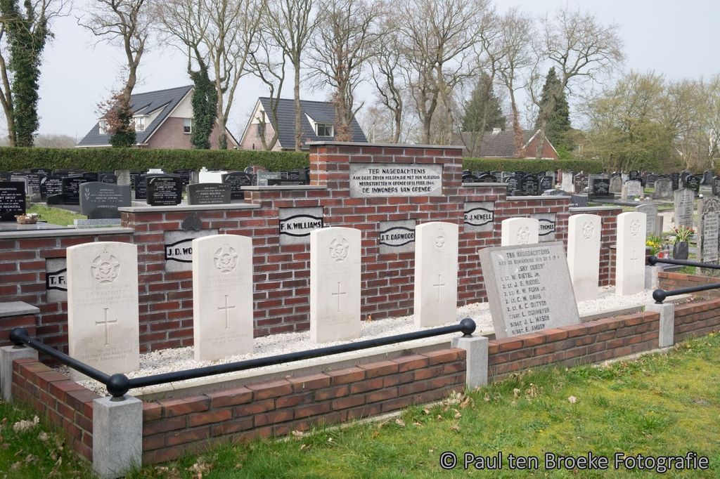
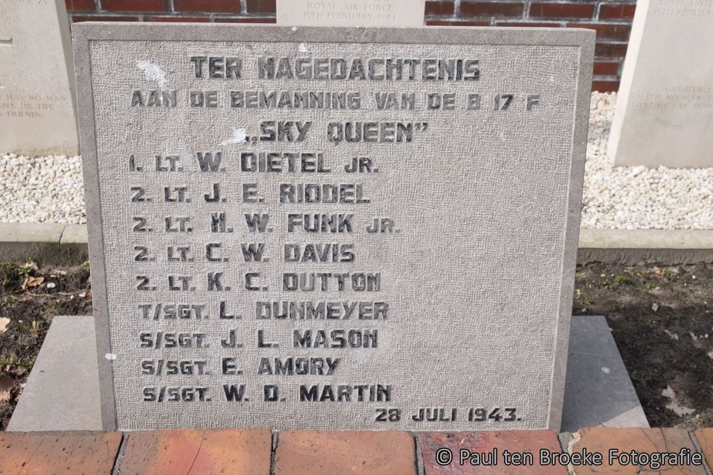
| Location | : | Opende, Grootegast Municipality, Netherlands |
| Coordinate | : | 53.1736100, 6.2212900 |
frequently asked questions (FAQ):
-
Where is Opende Protestant Churchyard?
Opende Protestant Churchyard is located at Opende, Grootegast Municipality ,Groningen ,Netherlands.
-
Opende Protestant Churchyard cemetery's updated grave count on graveviews.com?
0 memorials
-
Where are the coordinates of the Opende Protestant Churchyard?
Latitude: 53.1736100
Longitude: 6.2212900
Nearby Cemetories:
1. Noordwijk Protestant Churchyard
Noordwijk, Marum Municipality, Netherlands
Coordinate: 53.1699300, 6.2567500
2. Doezum Kerkhof
Doezum, Grootegast Municipality, Netherlands
Coordinate: 53.2000600, 6.2485600
3. Marum Cemetery
Marum, Marum Municipality, Netherlands
Coordinate: 53.1461400, 6.2535900
4. De Wilp Cemetery
De Wilp, Marum Municipality, Netherlands
Coordinate: 53.1231200, 6.2500100
5. Drachtstercompagnie Protestant Churchyard
Drachtstercompagnie, Smallingerland Municipality, Netherlands
Coordinate: 53.1353300, 6.1450000
6. Niebert Begraafplaats
Niebert, Marum Municipality, Netherlands
Coordinate: 53.1623500, 6.3282800
7. Sebaldeburen Churchyard
Sebaldeburen, Grootegast Municipality, Netherlands
Coordinate: 53.2204900, 6.3091900
8. Begraafplaats Alde Dyk
Kootstertille, Achtkarspelen Municipality, Netherlands
Coordinate: 53.2191071, 6.1040850
9. Begraafplaats Tillebuorren
Kootstertille, Achtkarspelen Municipality, Netherlands
Coordinate: 53.2116548, 6.0919066
10. Tolbert Protestant Cemetery
Tolbert, Leek Municipality, Netherlands
Coordinate: 53.1715200, 6.3654600
11. Zevenhuizen General Cemetery
Zevenhuizen, Leek Municipality, Netherlands
Coordinate: 53.1269100, 6.3480300
12. Kerkhof Mariakerk
Buitenpost, Achtkarspelen Municipality, Netherlands
Coordinate: 53.2517066, 6.1449971
13. It Heechsân Cemetery
Eastermar, Tytsjerksteradiel Municipality, Netherlands
Coordinate: 53.1851321, 6.0703815
14. Nederlands Hervormde begraafplaats Twizel
Twijzel, Achtkarspelen Municipality, Netherlands
Coordinate: 53.2388004, 6.0948838
15. Begraafplaats Jeltingalaan
Buitenpost, Achtkarspelen Municipality, Netherlands
Coordinate: 53.2600555, 6.1359754
16. Midwolde Cemetery
Midwolde, Leek Municipality, Netherlands
Coordinate: 53.1803100, 6.3924600
17. Grijpskerk Cemetery
Grijpskerk, Zuidhorn Municipality, Netherlands
Coordinate: 53.2627500, 6.3115500
18. Niezijl Cemetery
Niezijl, Zuidhorn Municipality, Netherlands
Coordinate: 53.2656200, 6.3337800
19. Begraafplaats Nijenhof
Oudwoude, Kollumerland en Nieuwkruisland Municipality, Netherlands
Coordinate: 53.2760214, 6.1267219
20. Begraafplaats Twijzelerheide
Twijzelerheide, Achtkarspelen Municipality, Netherlands
Coordinate: 53.2413444, 6.0525175
21. Kerkhof Nederlands Hervormde Begraafplaats
Kollumerzwaag, Kollumerland en Nieuwkruisland Municipality, Netherlands
Coordinate: 53.2619801, 6.0736539
22. Zuidhorn Old Cemetery
Zuidhorn, Zuidhorn Municipality, Netherlands
Coordinate: 53.2430800, 6.4049200
23. Zuidhorn New Cemetery
Zuidhorn, Zuidhorn Municipality, Netherlands
Coordinate: 53.2399900, 6.4111100
24. Bergum Protestant Churchyard
Bergum, Tytsjerksteradiel Municipality, Netherlands
Coordinate: 53.1958500, 6.0016300