
| Memorials | : | 0 |
| Location | : | Stone Bluff, Fountain County, USA |
| Coordinate | : | 40.1433010, -87.3117480 |
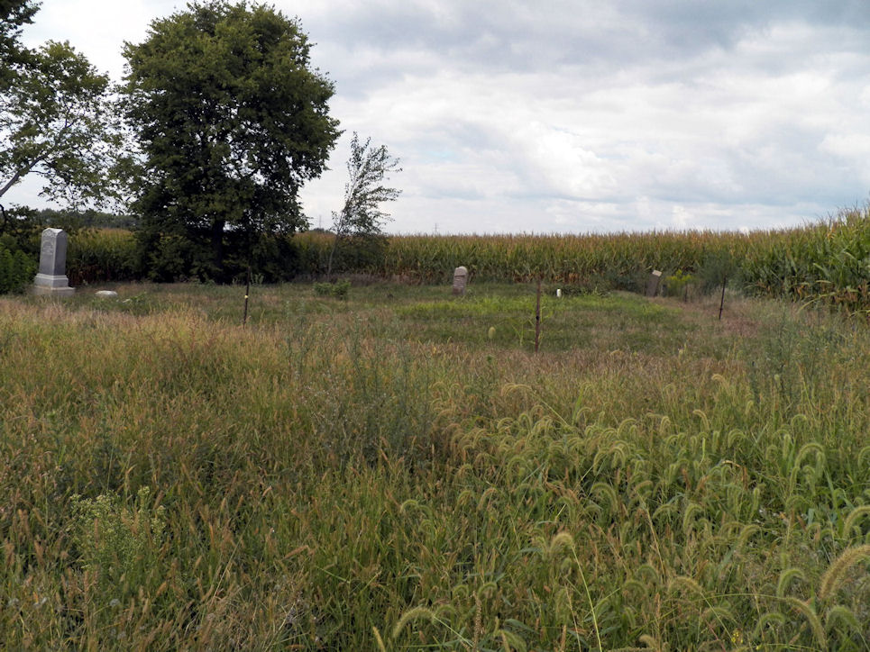
| Description | : | This cemetery is in Troy Township on 100 North Road near 250 West Road. It is an inactive cemetery located on private property. William Osborn entered the land in 1826. This cemetery is sometimes known as the Osborn-Dehaven Cemetery. |
frequently asked questions (FAQ):
-
Where is Osborn Cemetery?
Osborn Cemetery is located at W County Road 100 N Stone Bluff, Fountain County ,Indiana , 47987USA.
-
Osborn Cemetery cemetery's updated grave count on graveviews.com?
0 memorials
-
Where are the coordinates of the Osborn Cemetery?
Latitude: 40.1433010
Longitude: -87.3117480
Nearby Cemetories:
1. Dehaven Cemetery
Troy Township, Fountain County, USA
Coordinate: 40.1440460, -87.3283980
2. Carnagey Cemetery
Troy Township, Fountain County, USA
Coordinate: 40.1208800, -87.3229080
3. Ward Cemetery
Covington, Fountain County, USA
Coordinate: 40.1499405, -87.3503265
4. Hendrix Cemetery
Fountain County, USA
Coordinate: 40.1258507, -87.3517227
5. Unidentified Cemetery
Troy Township, Fountain County, USA
Coordinate: 40.1258000, -87.3517000
6. Osborn Prairie Cemetery
Stone Bluff, Fountain County, USA
Coordinate: 40.1711006, -87.2812119
7. Progressive Friends Church Cemetery
Stone Bluff, Fountain County, USA
Coordinate: 40.1786003, -87.2913971
8. Trinkle - Butt Knob Hill Cemetery
Veedersburg, Fountain County, USA
Coordinate: 40.1145100, -87.2718110
9. Keeling Cemetery
Veedersburg, Fountain County, USA
Coordinate: 40.1122017, -87.2674408
10. Rush Cemetery
Veedersburg, Fountain County, USA
Coordinate: 40.0974310, -87.2802860
11. Cold Spring Cemetery
Veedersburg, Fountain County, USA
Coordinate: 40.1347008, -87.2435989
12. Hopkins Cemetery
Stone Bluff, Fountain County, USA
Coordinate: 40.1889310, -87.2767850
13. Campbell Cemetery
Veedersburg, Fountain County, USA
Coordinate: 40.0903160, -87.2898650
14. Cochran-Yerkes Cemetery
Veedersburg, Fountain County, USA
Coordinate: 40.1080800, -87.2535620
15. Mount Hope Cemetery
Covington, Fountain County, USA
Coordinate: 40.1310997, -87.3850021
16. Birch-Colvert Cemetery
Stone Bluff, Fountain County, USA
Coordinate: 40.1680410, -87.2432480
17. Heath Cemetery
Covington, Fountain County, USA
Coordinate: 40.0968208, -87.3571701
18. Prescott Grove Cemetery
Covington, Fountain County, USA
Coordinate: 40.1497002, -87.3882980
19. Briney Cemetery
Covington, Fountain County, USA
Coordinate: 40.1712960, -87.3802590
20. Saint Joseph Catholic Cemetery
Covington, Fountain County, USA
Coordinate: 40.1495285, -87.3890533
21. Oak Grove Cemetery
Covington, Fountain County, USA
Coordinate: 40.1374397, -87.3901520
22. Davis Cemetery
Covington, Fountain County, USA
Coordinate: 40.0953250, -87.3619080
23. Danser Cemetery
Covington, Fountain County, USA
Coordinate: 40.1795520, -87.3796560
24. Brown Cemetery
Fountain County, USA
Coordinate: 40.2078018, -87.3000031