
| Memorials | : | 1 |
| Location | : | Stone Bluff, Fountain County, USA |
| Coordinate | : | 40.1786003, -87.2913971 |
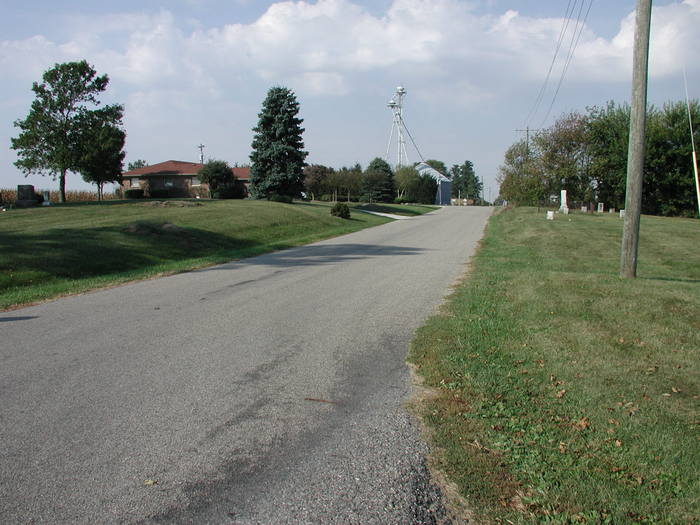
| Description | : | The Progressive Friends Church once stood next to the cemetery. The cemetery is on both the north & south side of the road The cemetery is located in Van Buren Township (W half of Section 14 Township 20N Range 8W) on both the north and south side of W County Road 350 N near its intersection with W Osborn Prairie Road. Indiana Cemetery Locations, Volume 2, published by the Indiana Genealogical Society (01 April 2006), gives the primary cemetery name as Progressive Friends Cemetery with an alternate name of Crazy Corner South Cemetery. The cemetery is... Read More |
frequently asked questions (FAQ):
-
Where is Progressive Friends Church Cemetery?
Progressive Friends Church Cemetery is located at W County Road 350 N Stone Bluff, Fountain County ,Indiana , 47932USA.
-
Progressive Friends Church Cemetery cemetery's updated grave count on graveviews.com?
1 memorials
-
Where are the coordinates of the Progressive Friends Church Cemetery?
Latitude: 40.1786003
Longitude: -87.2913971

Nearby Cemetories:
1. Osborn Prairie Cemetery
Stone Bluff, Fountain County, USA
Coordinate: 40.1711006, -87.2812119
2. Hopkins Cemetery
Stone Bluff, Fountain County, USA
Coordinate: 40.1889310, -87.2767850
3. Brown Cemetery
Fountain County, USA
Coordinate: 40.2078018, -87.3000031
4. Birch-Colvert Cemetery
Stone Bluff, Fountain County, USA
Coordinate: 40.1680410, -87.2432480
5. Osborn Cemetery
Stone Bluff, Fountain County, USA
Coordinate: 40.1433010, -87.3117480
6. Dehaven Cemetery
Troy Township, Fountain County, USA
Coordinate: 40.1440460, -87.3283980
7. Bear Creek Cemetery
Fountain, Fountain County, USA
Coordinate: 40.2152100, -87.3334885
8. Ward Cemetery
Covington, Fountain County, USA
Coordinate: 40.1499405, -87.3503265
9. Pribble Cemetery
Attica, Fountain County, USA
Coordinate: 40.2197000, -87.3389000
10. Cold Spring Cemetery
Veedersburg, Fountain County, USA
Coordinate: 40.1347008, -87.2435989
11. Carnagey Cemetery
Troy Township, Fountain County, USA
Coordinate: 40.1208800, -87.3229080
12. Trinkle - Butt Knob Hill Cemetery
Veedersburg, Fountain County, USA
Coordinate: 40.1145100, -87.2718110
13. Danser Cemetery
Covington, Fountain County, USA
Coordinate: 40.1795520, -87.3796560
14. Rob Roy Cemetery
Rob Roy, Fountain County, USA
Coordinate: 40.2398605, -87.2543030
15. Briney Cemetery
Covington, Fountain County, USA
Coordinate: 40.1712960, -87.3802590
16. Keeling Cemetery
Veedersburg, Fountain County, USA
Coordinate: 40.1122017, -87.2674408
17. Union Christian Cemetery
Newtown, Fountain County, USA
Coordinate: 40.1998215, -87.2043991
18. Hendrix Cemetery
Fountain County, USA
Coordinate: 40.1258507, -87.3517227
19. Unidentified Cemetery
Troy Township, Fountain County, USA
Coordinate: 40.1258000, -87.3517000
20. Poor Farm Cemetery
Fountain County, USA
Coordinate: 40.1817310, -87.3909850
21. Cochran-Yerkes Cemetery
Veedersburg, Fountain County, USA
Coordinate: 40.1080800, -87.2535620
22. Prescott Grove Cemetery
Covington, Fountain County, USA
Coordinate: 40.1497002, -87.3882980
23. Saint Joseph Catholic Cemetery
Covington, Fountain County, USA
Coordinate: 40.1495285, -87.3890533
24. Rush Cemetery
Veedersburg, Fountain County, USA
Coordinate: 40.0974310, -87.2802860