
| Memorials | : | 0 |
| Location | : | Oudewater, Oudewater Municipality, Netherlands |
| Coordinate | : | 52.0207700, 4.8762500 |
frequently asked questions (FAQ):
-
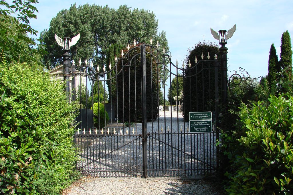
Where is Oudewater Protestant Cemetery?
Oudewater Protestant Cemetery is located at Oudewater, Oudewater Municipality ,Utrecht ,Netherlands.
-
Oudewater Protestant Cemetery cemetery's updated grave count on graveviews.com?
0 memorials
-
Where are the coordinates of the Oudewater Protestant Cemetery?
Latitude: 52.0207700
Longitude: 4.8762500
Nearby Cemetories:
1. Montfoort General Cemetery
Montfoort, Montfoort Municipality, Netherlands
Coordinate: 52.0434800, 4.9451700
2. Polsbroek Church
Polsbroek, Lopik Municipality, Netherlands
Coordinate: 51.9755685, 4.8487430
3. Algemene Begraafplaats Waarder
Waarder, Bodegraven-Reeuwijk Municipality, Netherlands
Coordinate: 52.0645703, 4.8223924
4. Benschop General Cemetery
Benschop, Lopik Municipality, Netherlands
Coordinate: 52.0097300, 4.9784100
5. Joodse Begraafsplaats
Woerden Municipality, Netherlands
Coordinate: 52.0885800, 4.8813300
6. Krimpen aan de Lek Cemetery
Krimpenerwaard Municipality, Netherlands
Coordinate: 51.9833330, 4.7833330
7. Joodse Begraafplaats
Schoonhoven, Krimpenerwaard Municipality, Netherlands
Coordinate: 51.9455500, 4.8546200
8. Roman Catholic Cemetery 1784-1873 (Defunct)
Schoonhoven, Krimpenerwaard Municipality, Netherlands
Coordinate: 51.9445176, 4.8547012
9. Algemene Begraafplaats Rijnhof
Woerden, Woerden Municipality, Netherlands
Coordinate: 52.0970000, 4.9024700
10. Algemene Begraafplaats Schoonhoven
Schoonhoven, Krimpenerwaard Municipality, Netherlands
Coordinate: 51.9435400, 4.8547900
11. Willige-Langerak Churchyard
Willige Langerak, Krimpenerwaard Municipality, Netherlands
Coordinate: 51.9355100, 4.8829800
12. Algemene Begraafplaats
Nieuwpoort, Molenwaard Municipality, Netherlands
Coordinate: 51.9333740, 4.8683760
13. Ameide Nieuwe Begraafplaats
Ameide, Zederik Municipality, Netherlands
Coordinate: 51.9493470, 4.9665220
14. Gouda Ijsselhof Cemetery
Gouda, Gouda Municipality, Netherlands
Coordinate: 52.0095400, 4.7268000
15. Algemene Begraafplaats Vredehof
Bodegraven, Bodegraven-Reeuwijk Municipality, Netherlands
Coordinate: 52.0833000, 4.7602700
16. RK begraafplaats Gouda
Gouda, Gouda Municipality, Netherlands
Coordinate: 52.0174067, 4.7190455
17. Begraafplaats ‘t Spijck
Harmelen, Woerden Municipality, Netherlands
Coordinate: 52.1004944, 4.9735318
18. Hoge Akker Begraafplaats
IJsselstein, IJsselstein Municipality, Netherlands
Coordinate: 52.0357500, 5.0380900
19. Rooms-Katholiek Kerkhof Sint-Willibrorduskerk
Bodegraven, Bodegraven-Reeuwijk Municipality, Netherlands
Coordinate: 52.0842000, 4.7441500
20. Sint Nicolaas Kerk
IJsselstein, IJsselstein Municipality, Netherlands
Coordinate: 52.0206960, 5.0449240
21. Gouda Old Cemetery
Gouda, Gouda Municipality, Netherlands
Coordinate: 52.0064100, 4.7068900
22. Goudriaan Algemene Begraafplaats
Goudriaan, Molenwaard Municipality, Netherlands
Coordinate: 51.9036512, 4.8883253
23. Katholieke begraafplaats
Vleuten, Utrecht Municipality, Netherlands
Coordinate: 52.1007835, 5.0162086
24. Rooms-Katholiek Kerkhof Sint-Petrus en Pauluskerk
Reeuwijk-Dorp, Bodegraven-Reeuwijk Municipality, Netherlands
Coordinate: 52.0560940, 4.6925810