
| Memorials | : | 2 |
| Location | : | Marion Township, Boone County, USA |
| Coordinate | : | 40.0818600, -86.2689150 |
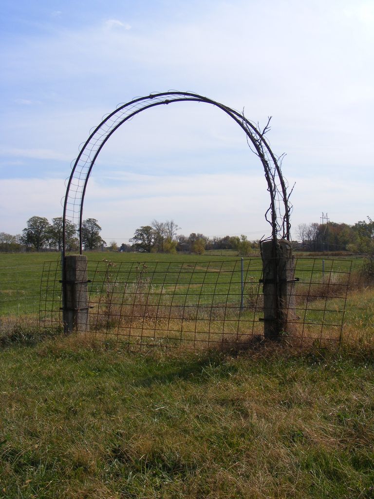
| Description | : | The cemetery is located in Marion Township (SW quadrant of the NW quadrant of the NE quadrant of Section 23, Township 19N, Range 2E) about 1000 feet south of County Road 300 N about 0.6 miles east of its intersection with N County Road 1000 E. Indiana Cemetery Locations, Volume 3, published by the Indiana Genealogical Society (April 2007), gives the primary cemetery name as Jones Cemetery #1 with an alternate name of Parr Cemetery #1. The cemetery is listed in the Cemetery and Burial Grounds Registry of the Indiana Department of Natural Resources (DNR) and in the... Read More |
frequently asked questions (FAQ):
-
Where is Parr-Jones Cemetery?
Parr-Jones Cemetery is located at 10575 County Road 300 N Marion Township, Boone County ,Indiana , 46069USA.
-
Parr-Jones Cemetery cemetery's updated grave count on graveviews.com?
2 memorials
-
Where are the coordinates of the Parr-Jones Cemetery?
Latitude: 40.0818600
Longitude: -86.2689150
Nearby Cemetories:
1. Richardson Cemetery
Boone County, USA
Coordinate: 40.0714684, -86.2612457
2. Wright-Bethel Cemetery
Waugh, Boone County, USA
Coordinate: 40.0847015, -86.2900009
3. Segwick Family Cemetery #2
Rosston, Boone County, USA
Coordinate: 40.0597000, -86.2839000
4. Wheatley Cemetery
Boone County, USA
Coordinate: 40.0632640, -86.2957030
5. Johns Cemetery
Boone County, USA
Coordinate: 40.0520400, -86.2737500
6. Sedwick Family Cemetery #1
Rosston, Boone County, USA
Coordinate: 40.0489000, -86.2800000
7. Rosston Cemetery
Rosston, Boone County, USA
Coordinate: 40.0447998, -86.2866974
8. Hammack Cemetery
Hamilton County, USA
Coordinate: 40.0867996, -86.2079697
9. Moore Cemetery
Elizaville, Boone County, USA
Coordinate: 40.1287400, -86.2993100
10. Union Grove Cemetery
Hamilton County, USA
Coordinate: 40.1055984, -86.2033005
11. Mounts Runn Baptist Cemetery
Whitestown, Boone County, USA
Coordinate: 40.0368996, -86.3230972
12. Eagletown Cemetery
Eagletown, Hamilton County, USA
Coordinate: 40.0450554, -86.1951904
13. Crown View Cemetery
Sheridan, Hamilton County, USA
Coordinate: 40.1431274, -86.2301636
14. Sugar Grove Cemetery
Hamilton County, USA
Coordinate: 40.0155983, -86.2313995
15. Eagle Creek Cemetery
Westfield, Hamilton County, USA
Coordinate: 40.0130730, -86.2263870
16. Lane Cemetery
Northfield, Boone County, USA
Coordinate: 40.0061798, -86.2796707
17. Lutheran Cemetery
Whitestown, Boone County, USA
Coordinate: 40.0073433, -86.2995148
18. Wiles Cemetery
Sheridan, Hamilton County, USA
Coordinate: 40.1444530, -86.2002350
19. Greenwood Friends Cemetery
Hamilton County, USA
Coordinate: 40.0640890, -86.1641860
20. Spencer Cemetery
Sheridan, Hamilton County, USA
Coordinate: 40.1615906, -86.2418823
21. Hutton Memorial Cemetery
Northfield, Boone County, USA
Coordinate: 39.9986000, -86.2849503
22. Thomas B Moore Cemetery
Hortonville, Hamilton County, USA
Coordinate: 40.0927780, -86.1561110
23. Moore Cemetery
Sheridan, Hamilton County, USA
Coordinate: 40.0933600, -86.1560500
24. Ballard Pleasant View Cemetery
Hamilton County, USA
Coordinate: 40.0216103, -86.1798019