
| Memorials | : | 1 |
| Location | : | Alum Creek, Kanawha County, USA |
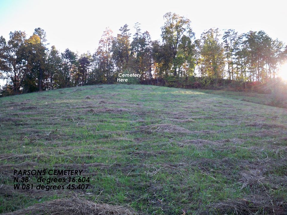
| Coordinate | : | 38.1660400, -81.4540700 |
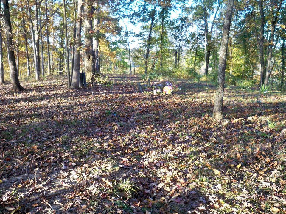
| Description | : | Coming from Charleston on Route 119 going south, turn left on Broundland Road. As soon as you turn, turn left again. Pauley Road is on the right as you go up a hill. Turn right and go through a creek crossing. The cemetery is on the hill behind the first house on the right. Special thanks to Bob Cremeans and Fred Justice for finally finding this remote cemetery. |
frequently asked questions (FAQ):
-
Where is Parsons Cemetery?
Parsons Cemetery is located at Alum Creek, Kanawha County ,West Virginia ,USA.
-
Parsons Cemetery cemetery's updated grave count on graveviews.com?
1 memorials
-
Where are the coordinates of the Parsons Cemetery?
Latitude: 38.1660400
Longitude: -81.4540700
Nearby Cemetories:
1. Ronda Cemetery
Cabin Creek, Kanawha County, USA
Coordinate: 38.1721590, -81.4491930
2. Dry Branch Cemetery
Dry Branch, Kanawha County, USA
Coordinate: 38.1814003, -81.4666977
3. Clark Cemetery
Dry Branch, Kanawha County, USA
Coordinate: 38.1850320, -81.4567380
4. Hensley Family Cemetery
Dry Branch, Kanawha County, USA
Coordinate: 38.1850014, -81.4574966
5. Gatewood Cemetery
Chelyan, Kanawha County, USA
Coordinate: 38.1941450, -81.4942650
6. Slaughters Creek Cemetery
Chelyan, Kanawha County, USA
Coordinate: 38.1896590, -81.4987280
7. Crown Hill Cemetery
Crown Hill, Kanawha County, USA
Coordinate: 38.1991700, -81.4134500
8. Coalburg Cemetery
Coalburg, Kanawha County, USA
Coordinate: 38.2122640, -81.4539250
9. Dickinson Cemetery (Defunct)
Kanawha County, USA
Coordinate: 38.2039300, -81.5018000
10. Virginia's Chapel Cemetery
Cedar Grove, Kanawha County, USA
Coordinate: 38.2176700, -81.4259900
11. Woodland Cemetery
Cedar Grove, Kanawha County, USA
Coordinate: 38.2182999, -81.4253006
12. Ward Cemetery
Cedar Grove, Kanawha County, USA
Coordinate: 38.2338982, -81.4175034
13. Mount Lewis Cemetery
Cedar Grove, Kanawha County, USA
Coordinate: 38.2344017, -81.4124985
14. Witcher Cemetery
Belle, Kanawha County, USA
Coordinate: 38.2282982, -81.5093994
15. Foster Cemetery
Dawes, Kanawha County, USA
Coordinate: 38.1053009, -81.5147018
16. Mount Hope Cemetery
Dawes, Kanawha County, USA
Coordinate: 38.1077995, -81.5186005
17. Pettry Cemetery
Comfort, Boone County, USA
Coordinate: 38.1189003, -81.5417023
18. Nelson Cemetery
Chesapeake, Kanawha County, USA
Coordinate: 38.2263700, -81.5431700
19. Simmons Creek Community Cemetery
Belle, Kanawha County, USA
Coordinate: 38.2556200, -81.5214700
20. Adkins Family Cemetery
Comfort, Boone County, USA
Coordinate: 38.1300316, -81.5870514
21. Scott Mountain Cemetery
Dawes, Kanawha County, USA
Coordinate: 38.0668602, -81.5181274
22. Red Warrior Cemetery
Cabin Creek, Kanawha County, USA
Coordinate: 38.0531656, -81.4550669
23. Danville Cemetery
Danville, Boone County, USA
Coordinate: 38.0480000, -81.4988700
24. Ferrell Cemetery
Comfort, Boone County, USA
Coordinate: 38.1296997, -81.6066971