
| Memorials | : | 42 |
| Location | : | Pleasant Run, Tucker County, USA |
| Coordinate | : | 39.0320000, -79.7145000 |
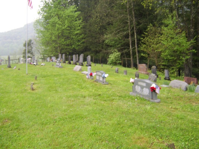
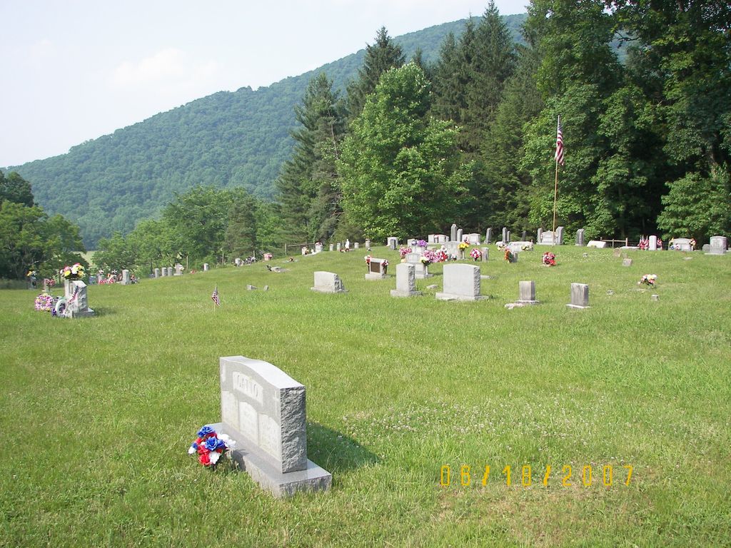
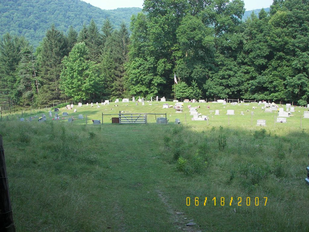
| Description | : | From traffic light on US 219 in Parsons, go south on US 219 2.6 miles and turn left on Shavers Fork Road (Rt 39). Drive 2.6 miles to intersection of Shavers Fork and Pleasant Run (Rt 47). Take left road (Shavers Fork) and travel 1.1 miles to cemetery in a pasture on left. |
frequently asked questions (FAQ):
-
Where is Parsons Family Cemetery?
Parsons Family Cemetery is located at Pleasant Run, Tucker County ,West Virginia ,USA.
-
Parsons Family Cemetery cemetery's updated grave count on graveviews.com?
42 memorials
-
Where are the coordinates of the Parsons Family Cemetery?
Latitude: 39.0320000
Longitude: -79.7145000
Nearby Cemetories:
1. Irons Chapel Cemetery
Porterwood, Tucker County, USA
Coordinate: 39.0322830, -79.7138850
2. Porterwood Cemetery
Porterwood, Tucker County, USA
Coordinate: 39.0690930, -79.7014900
3. Moore Cemetery
Porterwood, Tucker County, USA
Coordinate: 39.0772750, -79.7108930
4. Parsons City Cemetery
Parsons, Tucker County, USA
Coordinate: 39.0894410, -79.6690080
5. Goff Memorial Church of the Brethren Cemetery
Hambleton, Tucker County, USA
Coordinate: 39.0826420, -79.6447480
6. McNeeley Cemetery
Hendricks, Tucker County, USA
Coordinate: 39.0786018, -79.6378021
7. Goff Cemetery
Hambleton, Tucker County, USA
Coordinate: 39.0847015, -79.6421967
8. Collett Cemetery
Hambleton, Tucker County, USA
Coordinate: 39.0844002, -79.6410980
9. Fansler Cemetery
Hendricks, Tucker County, USA
Coordinate: 39.0800018, -79.6316986
10. Israel Church Cemetery
Kerens, Randolph County, USA
Coordinate: 39.0266609, -79.8208618
11. Primitive Baptist Church Cemetery
Montrose, Randolph County, USA
Coordinate: 39.0646330, -79.8187350
12. Baxter Wilmoth Cemetery
Elkins, Randolph County, USA
Coordinate: 38.9573850, -79.7766400
13. Wilmoth-Isner Cemetery
Elkins, Randolph County, USA
Coordinate: 38.9573970, -79.7767230
14. Coffman Chapel Cemetery
Elkins, Randolph County, USA
Coordinate: 38.9874280, -79.8205900
15. Mount Zion Cemetery
Saint George, Tucker County, USA
Coordinate: 39.1300583, -79.7348175
16. Mount Zion Church Cemetery
Elkins, Randolph County, USA
Coordinate: 38.9438400, -79.7733700
17. Union Chapel Cemetery
Tucker County, USA
Coordinate: 39.1226040, -79.7756230
18. Hammer Cemetery #6
Pendleton County, USA
Coordinate: 38.9277500, -79.7253300
19. Mountain State Memorial Gardens
Elkins, Randolph County, USA
Coordinate: 38.9836006, -79.8360977
20. Bethel Cemetery
Holly Meadows, Tucker County, USA
Coordinate: 39.1363983, -79.6841965
21. Harsh Cemetery
Saint George, Tucker County, USA
Coordinate: 39.1197290, -79.7946770
22. Mount Pleasant Cemetery
Saint George, Tucker County, USA
Coordinate: 39.1197590, -79.7947820
23. Schmidlen Family Cemetery
Alpena, Randolph County, USA
Coordinate: 38.9531900, -79.6187500
24. Peter Warner Cemetery #19
Cherry Grove, Pendleton County, USA
Coordinate: 38.9745600, -79.8467300