
| Memorials | : | 0 |
| Location | : | Porterwood, Tucker County, USA |
| Coordinate | : | 39.0690930, -79.7014900 |
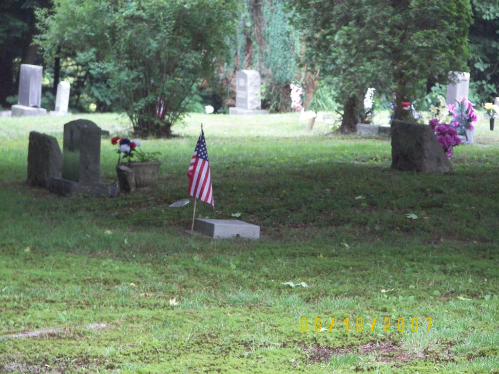
| Description | : | This is a small cemetery off of Shavers Fork Rd - Route # 39, near US 219, south of Parsons, West Virginia. This cemetery is close to a little church named "Riverview Chapel" . The cemetery is up on a hill, off a dirt road just past the above Chapel on the right, it looks like a private driveway but it actually leads to multiple homes and finally the cemetery. There are no signs with the name of the cemetery posted for this cemetery and it is not fenced in. The Cheat River - Shavers... Read More |
frequently asked questions (FAQ):
-
Where is Porterwood Cemetery?
Porterwood Cemetery is located at Shavers Fork Road - Route # 39 Porterwood, Tucker County ,West Virginia ,USA.
-
Porterwood Cemetery cemetery's updated grave count on graveviews.com?
0 memorials
-
Where are the coordinates of the Porterwood Cemetery?
Latitude: 39.0690930
Longitude: -79.7014900
Nearby Cemetories:
1. Moore Cemetery
Porterwood, Tucker County, USA
Coordinate: 39.0772750, -79.7108930
2. Parsons City Cemetery
Parsons, Tucker County, USA
Coordinate: 39.0894410, -79.6690080
3. Irons Chapel Cemetery
Porterwood, Tucker County, USA
Coordinate: 39.0322830, -79.7138850
4. Parsons Family Cemetery
Pleasant Run, Tucker County, USA
Coordinate: 39.0320000, -79.7145000
5. Goff Memorial Church of the Brethren Cemetery
Hambleton, Tucker County, USA
Coordinate: 39.0826420, -79.6447480
6. Goff Cemetery
Hambleton, Tucker County, USA
Coordinate: 39.0847015, -79.6421967
7. Collett Cemetery
Hambleton, Tucker County, USA
Coordinate: 39.0844002, -79.6410980
8. McNeeley Cemetery
Hendricks, Tucker County, USA
Coordinate: 39.0786018, -79.6378021
9. Fansler Cemetery
Hendricks, Tucker County, USA
Coordinate: 39.0800018, -79.6316986
10. Mount Zion Cemetery
Saint George, Tucker County, USA
Coordinate: 39.1300583, -79.7348175
11. Bethel Cemetery
Holly Meadows, Tucker County, USA
Coordinate: 39.1363983, -79.6841965
12. Union Chapel Cemetery
Tucker County, USA
Coordinate: 39.1226040, -79.7756230
13. Tucker County Poor Farm Cemetery
Holly Meadows, Tucker County, USA
Coordinate: 39.1485980, -79.6655360
14. Harsh Cemetery
Saint George, Tucker County, USA
Coordinate: 39.1197290, -79.7946770
15. Mount Pleasant Cemetery
Saint George, Tucker County, USA
Coordinate: 39.1197590, -79.7947820
16. Primitive Baptist Church Cemetery
Montrose, Randolph County, USA
Coordinate: 39.0646330, -79.8187350
17. Sugarlands Brethren Church Cemetery
Thomas, Tucker County, USA
Coordinate: 39.1369170, -79.6102830
18. Israel Church Cemetery
Kerens, Randolph County, USA
Coordinate: 39.0266609, -79.8208618
19. Bonnifield Cemetery
Saint George, Tucker County, USA
Coordinate: 39.1617012, -79.6386032
20. New Hope Cemetery
Parsons, Tucker County, USA
Coordinate: 39.1591000, -79.7961000
21. Coffman Chapel Cemetery
Elkins, Randolph County, USA
Coordinate: 38.9874280, -79.8205900
22. Baxter Wilmoth Cemetery
Elkins, Randolph County, USA
Coordinate: 38.9573850, -79.7766400
23. Wilmoth-Isner Cemetery
Elkins, Randolph County, USA
Coordinate: 38.9573970, -79.7767230
24. Sugargrove Church Cemetery
Tucker County, USA
Coordinate: 39.1759100, -79.7878300