| Memorials | : | 21 |
| Location | : | Montrose, Randolph County, USA |
| Coordinate | : | 39.0646330, -79.8187350 |
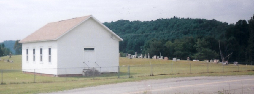
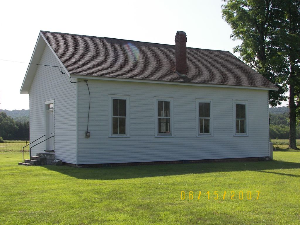
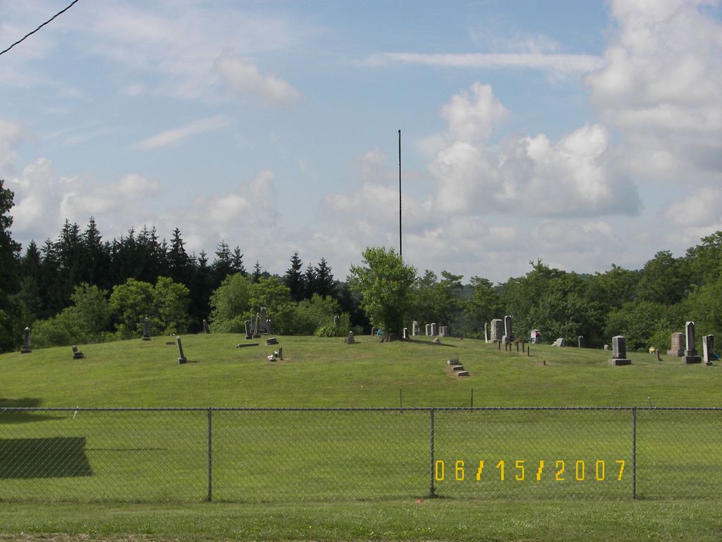
| Description | : | From Elkins, WV take US 219 north . Turn left on Salt Lick Road, continue to the tee in the road, go left onto Harpertown Road (Rt1) and follow Harpertown Road to the right, at the first intersection bear right. Church and cemetery is on the left corner of Harpertown Road & Wilmoth Run. |
frequently asked questions (FAQ):
-
Where is Primitive Baptist Church Cemetery?
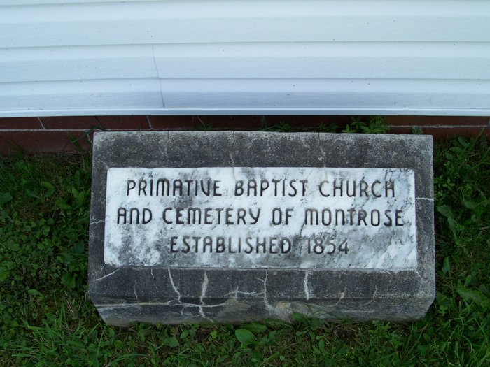
Primitive Baptist Church Cemetery is located at Montrose, Randolph County ,West Virginia ,USA.
-
Primitive Baptist Church Cemetery cemetery's updated grave count on graveviews.com?
20 memorials
-
Where are the coordinates of the Primitive Baptist Church Cemetery?
Latitude: 39.0646330
Longitude: -79.8187350
Nearby Cemetories:
1. Israel Church Cemetery
Kerens, Randolph County, USA
Coordinate: 39.0266609, -79.8208618
2. Harsh Cemetery
Saint George, Tucker County, USA
Coordinate: 39.1197290, -79.7946770
3. Mount Pleasant Cemetery
Saint George, Tucker County, USA
Coordinate: 39.1197590, -79.7947820
4. Union Chapel Cemetery
Tucker County, USA
Coordinate: 39.1226040, -79.7756230
5. Lambert Chapel Cemetery
Belington, Barbour County, USA
Coordinate: 39.0765550, -79.9119050
6. Coffman Chapel Cemetery
Elkins, Randolph County, USA
Coordinate: 38.9874280, -79.8205900
7. Stringtown Cemetery
Belington, Barbour County, USA
Coordinate: 39.0338920, -79.9118590
8. Sugar Creek Cemetery
Belington, Barbour County, USA
Coordinate: 39.0610840, -79.9218200
9. Mountain State Memorial Gardens
Elkins, Randolph County, USA
Coordinate: 38.9836006, -79.8360977
10. Moore Cemetery
Porterwood, Tucker County, USA
Coordinate: 39.0772750, -79.7108930
11. Mount Zion Mill Run Cemetery
Barbour County, USA
Coordinate: 39.1297120, -79.8924010
12. Parsons Family Cemetery
Pleasant Run, Tucker County, USA
Coordinate: 39.0320000, -79.7145000
13. Irons Chapel Cemetery
Porterwood, Tucker County, USA
Coordinate: 39.0322830, -79.7138850
14. Laurel Hill Battlefield Cemetery
Belington, Barbour County, USA
Coordinate: 39.0084890, -79.9084750
15. Porterwood Cemetery
Porterwood, Tucker County, USA
Coordinate: 39.0690930, -79.7014900
16. Little Bethel Church Cemetery
Meadowville, Barbour County, USA
Coordinate: 39.1146230, -79.9179040
17. Mount Zion Cemetery
Saint George, Tucker County, USA
Coordinate: 39.1300583, -79.7348175
18. Peter Warner Cemetery #19
Cherry Grove, Pendleton County, USA
Coordinate: 38.9745600, -79.8467300
19. Old Right Cemetery
Belington, Barbour County, USA
Coordinate: 39.0214600, -79.9269900
20. Elliott Cemetery
Belington, Barbour County, USA
Coordinate: 39.0264780, -79.9320850
21. New Hope Cemetery
Parsons, Tucker County, USA
Coordinate: 39.1591000, -79.7961000
22. Little Bethel Baptist Church Cemetery
Barbour County, USA
Coordinate: 39.1122500, -79.9274400
23. Gilman Cemetery
Gilman, Randolph County, USA
Coordinate: 38.9682750, -79.8448670
24. Central Chapel United Methodist Church Cemetery
Belington, Barbour County, USA
Coordinate: 39.1321300, -79.9160800

