
| Memorials | : | 13 |
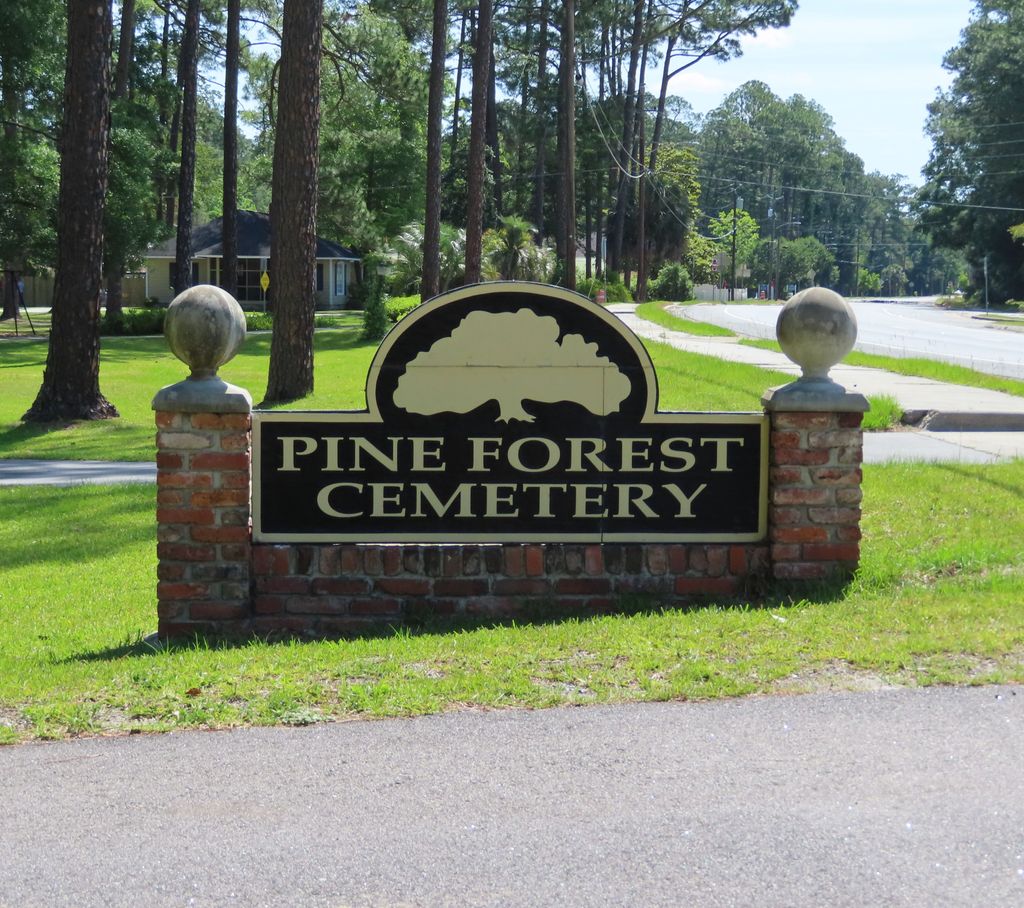
| Location | : | Homerville, Clinch County, USA |
| Coordinate | : | 31.0375004, -82.7605972 |
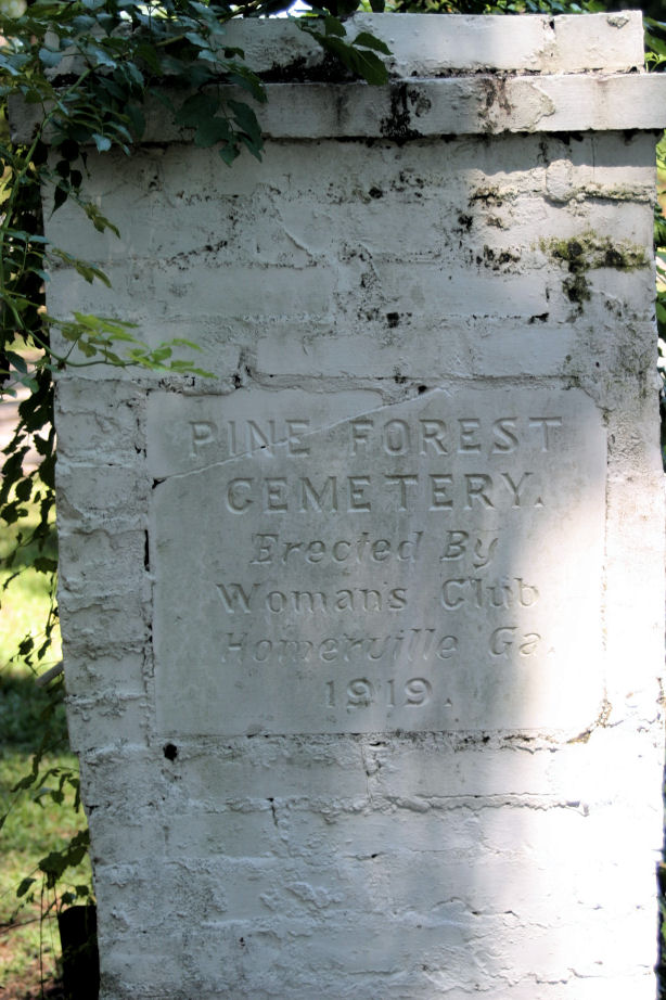
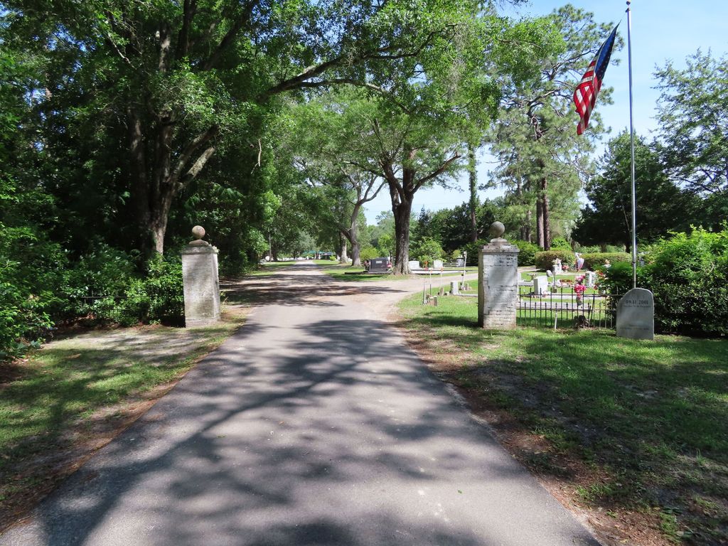
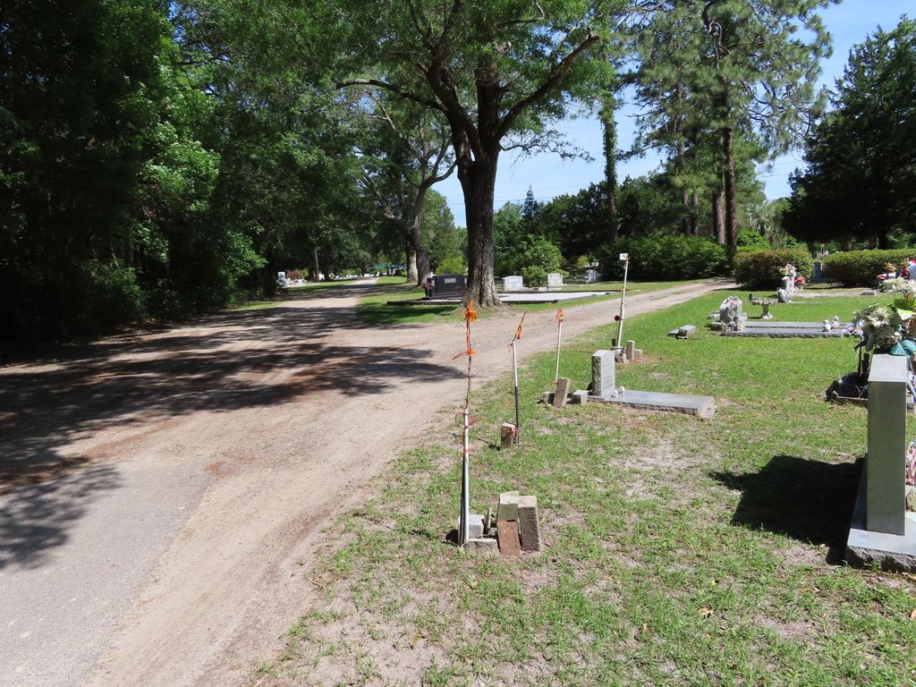
| Description | : | This is a medium sized cemetery. There is no office on the premises. |
frequently asked questions (FAQ):
-
Where is Pine Forest Cemetery?
Pine Forest Cemetery is located at Homerville, Clinch County ,Georgia ,USA.
-
Pine Forest Cemetery cemetery's updated grave count on graveviews.com?
10 memorials
-
Where are the coordinates of the Pine Forest Cemetery?
Latitude: 31.0375004
Longitude: -82.7605972
Nearby Cemetories:
1. Smith Gravesites
Homerville, Clinch County, USA
Coordinate: 31.0147640, -82.7106140
2. Holmes Chapel Cemetery
Clinch County, USA
Coordinate: 31.0767002, -82.8003006
3. Sirmans Rest Cemetery
Homerville, Clinch County, USA
Coordinate: 31.0830800, -82.8243100
4. New Pine Grove Church Cemetery
Homerville, Clinch County, USA
Coordinate: 31.1086200, -82.7080070
5. Eason Cemetery
Clinch County, USA
Coordinate: 30.9500008, -82.7786026
6. North Cemetery
Du Pont, Clinch County, USA
Coordinate: 31.0167007, -82.8719025
7. Shiloh Southern Congregational ME Church Cemetery
Homerville, Clinch County, USA
Coordinate: 31.0116024, -82.6426392
8. Prospect Church Cemetery
Du Pont, Clinch County, USA
Coordinate: 31.0377950, -82.8859880
9. Griffis Cemetery
Clinch County, USA
Coordinate: 30.9680996, -82.6607971
10. Hard Scramble Cemetery
Clinch County, USA
Coordinate: 30.9321995, -82.7202988
11. Arabia Cemetery
Homerville, Clinch County, USA
Coordinate: 31.1124992, -82.8863983
12. Dame Family Cemetery
Clinch County, USA
Coordinate: 30.9067001, -82.8300018
13. Lawrence Smith
Jamestown, Clinch County, USA
Coordinate: 30.9777560, -82.6078320
14. Chauncey Cemetery
Homerville, Clinch County, USA
Coordinate: 30.9108009, -82.6699982
15. Old J.L. Morgan Farm Cemetery
Homerville, Clinch County, USA
Coordinate: 30.9036980, -82.6562400
16. Ramah Cemetery
Colon, Clinch County, USA
Coordinate: 30.9036007, -82.6557999
17. Langs Church Cemetery
Homerville, Clinch County, USA
Coordinate: 31.1796494, -82.8526459
18. Camp Creek Cemetery
Clinch County, USA
Coordinate: 31.0946300, -82.9428000
19. Antioch Methodist Church Cemetery
Homerville, Clinch County, USA
Coordinate: 30.9512090, -82.5912930
20. Hilliard Cemetery
Clinch County, USA
Coordinate: 30.8582993, -82.7382965
21. Miller Cemetery
Jamestown, Clinch County, USA
Coordinate: 30.9359490, -82.5833700
22. Red Bluff Cemetery
Pearson, Atkinson County, USA
Coordinate: 31.2272960, -82.7846790
23. Salem Church Cemetery
Pearson, Atkinson County, USA
Coordinate: 31.1966550, -82.9091460
24. Ozias FreeWill Baptist Cemetery
Pearson, Atkinson County, USA
Coordinate: 31.2163157, -82.8909786