
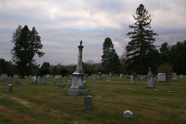
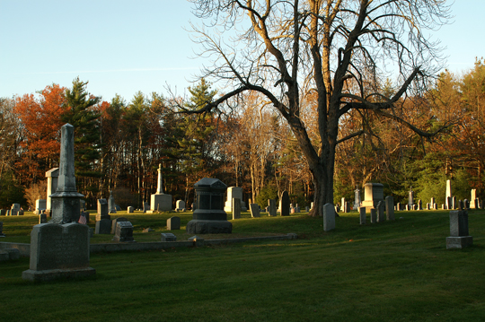
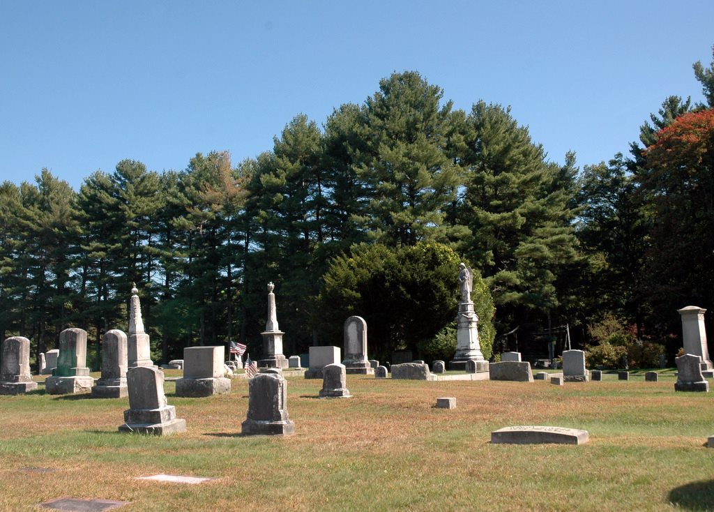
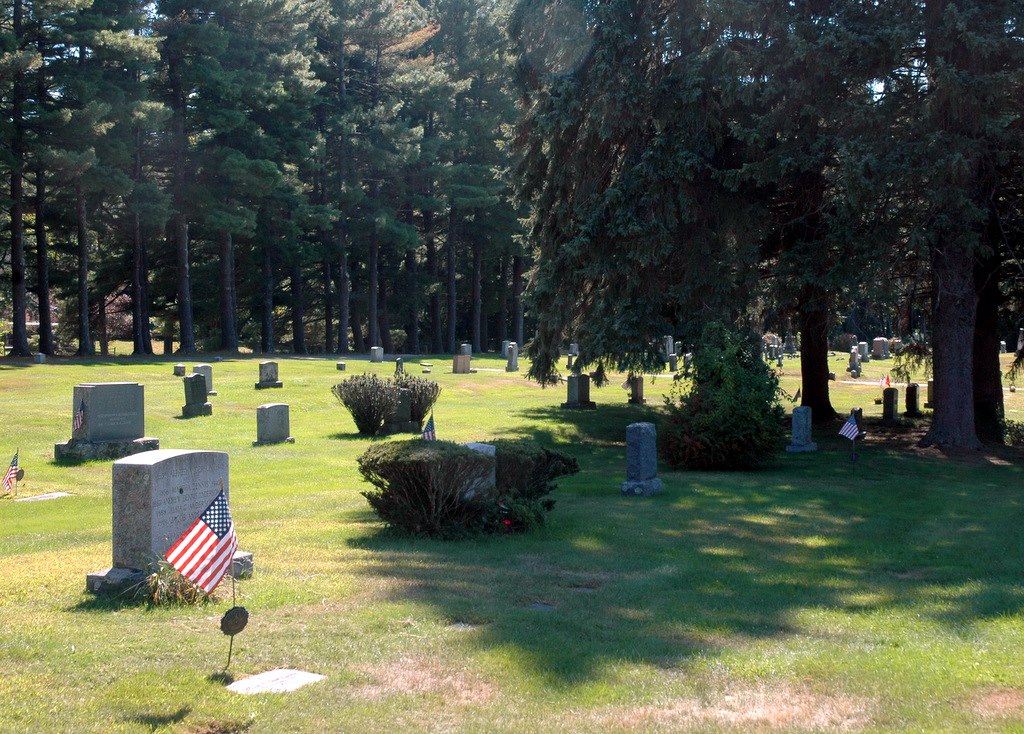
| Memorials | : | 227 |
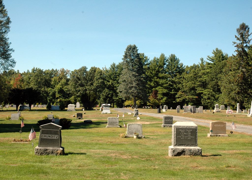
| Location | : | Boylston, Worcester County, USA |
| Coordinate | : | 42.3582993, -71.7431030 |
| Description | : | On April 17, 1837, Colonel Jotham Bush conveyed to the Boylston Inhabitants, 2 acres about 400 feet off Scar Hill Road for $5.00 "and especially in consideration of the regard I have for said town", to be used "as a public burying place or grave yard"; the transaction recorded in the County of Worcester Registry, Bk 374 pg 377. On March 28, 1855, Colonel Jotham Bush's son, Deacon Jotham Bush, for the sum of $400, sold the town the land between Scar hill road and the previous acquisition; this transaction recorded in the County of Worcester Registry in Bk 543 pg... Read More |
frequently asked questions (FAQ):
-
Where is Pine Grove Cemetery?
Pine Grove Cemetery is located at Boylston, Worcester County ,Massachusetts ,USA.
-
Pine Grove Cemetery cemetery's updated grave count on graveviews.com?
219 memorials
-
Where are the coordinates of the Pine Grove Cemetery?
Latitude: 42.3582993
Longitude: -71.7431030
Nearby Cemetories:
1. Old Burial Ground
Boylston, Worcester County, USA
Coordinate: 42.3515700, -71.7355300
2. Saint Lukes Cemetery
West Boylston, Worcester County, USA
Coordinate: 42.3833008, -71.7568970
3. Mount Vernon Cemetery
West Boylston, Worcester County, USA
Coordinate: 42.3634650, -71.7804030
4. Beaman Cemetery
West Boylston, Worcester County, USA
Coordinate: 42.3649590, -71.7803600
5. High Plains Cemetery
West Boylston, Worcester County, USA
Coordinate: 42.3889008, -71.7972031
6. Reservoir Pines Cemetery
Clinton, Worcester County, USA
Coordinate: 42.4084900, -71.7109700
7. Cookshire Cemetery
Sterling, Worcester County, USA
Coordinate: 42.4108500, -71.7734800
8. Fairbank Burial Ground
Sterling, Worcester County, USA
Coordinate: 42.4152600, -71.7320000
9. Mountain View Cemetery
Shrewsbury, Worcester County, USA
Coordinate: 42.2999306, -71.7147598
10. Legg Cemetery
Sterling, Worcester County, USA
Coordinate: 42.4070020, -71.7986150
11. West Main Street Cemetery
Shrewsbury, Worcester County, USA
Coordinate: 42.2912600, -71.7420000
12. Notre Dame du Lac Cemetery
Worcester, Worcester County, USA
Coordinate: 42.2910170, -71.7681030
13. Woodlawn Cemetery
Clinton, Worcester County, USA
Coordinate: 42.4185982, -71.6889038
14. Howard Street Cemetery
Northborough, Worcester County, USA
Coordinate: 42.3249000, -71.6475400
15. Chocksett Burial Ground
Sterling, Worcester County, USA
Coordinate: 42.4377000, -71.7555400
16. Old Burying Ground
Berlin, Worcester County, USA
Coordinate: 42.3811646, -71.6375351
17. Saint John's Cemetery
Lancaster, Worcester County, USA
Coordinate: 42.4328003, -71.6977997
18. Hillside Cemetery
Sterling, Worcester County, USA
Coordinate: 42.4410000, -71.7492570
19. Oak Hill Cemetery
Sterling, Worcester County, USA
Coordinate: 42.4417000, -71.7493973
20. Saint Anne's Cemetery
Shrewsbury, Worcester County, USA
Coordinate: 42.2746300, -71.7485400
21. South Berlin Cemetery
Berlin, Worcester County, USA
Coordinate: 42.3652992, -71.6292038
22. Saint Francis Episcopal Church Memorial Garden
Holden, Worcester County, USA
Coordinate: 42.3522800, -71.8588700
23. Old Burying Ground
Holden, Worcester County, USA
Coordinate: 42.3505800, -71.8626000
24. Worcester Rural Cemetery
Worcester, Worcester County, USA
Coordinate: 42.2803001, -71.8035965