| Memorials | : | 204 |
| Location | : | Cheraw, Chesterfield County, USA |
| Coordinate | : | 34.5825000, -79.9705600 |
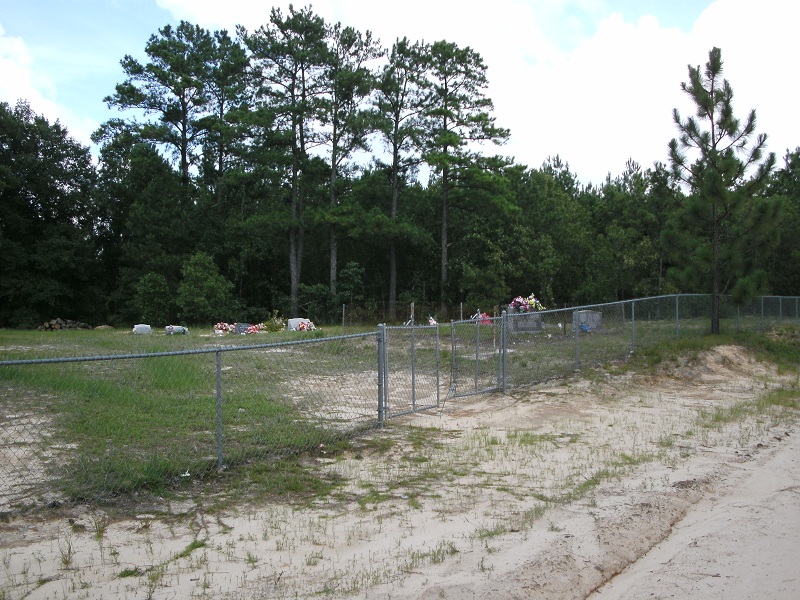
| Description | : | Frm Cheraw, SC: Take Hwy 1/52 South 8 miles, Turn Left onto Campbell Lake Rd and proceed 1 mile and turn left on McBride Rd. McBride Road is a dirt road. and the Cemetery will be 1.5 miles down on the left. |
frequently asked questions (FAQ):
-
Where is Piney Grove Cemetery?
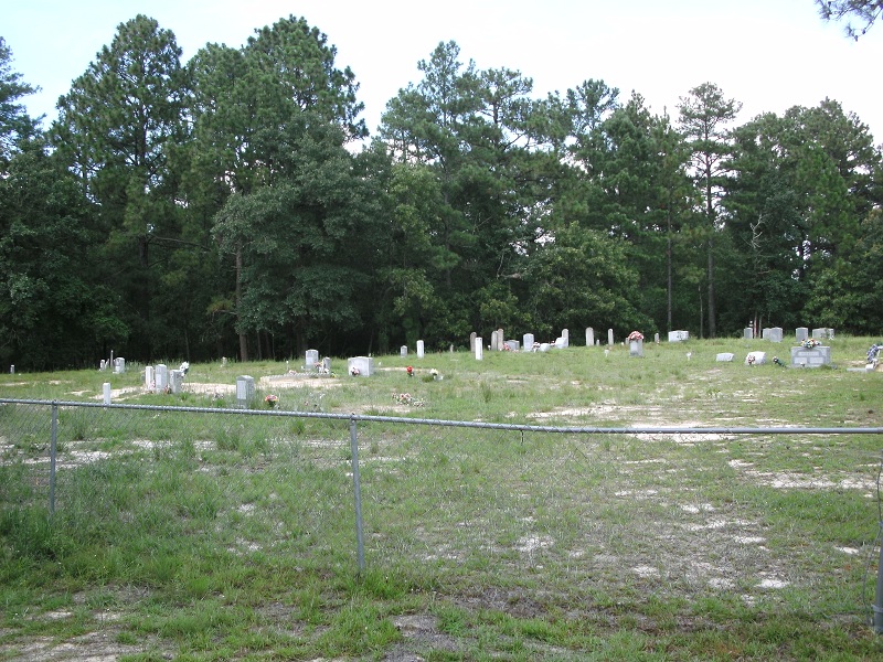
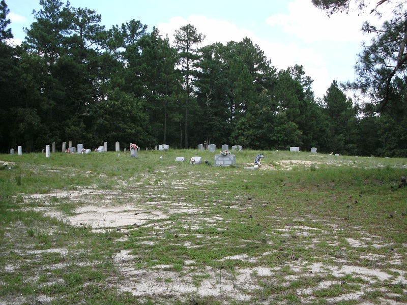
Piney Grove Cemetery is located at Cheraw, Chesterfield County ,South Carolina ,USA.
-
Piney Grove Cemetery cemetery's updated grave count on graveviews.com?
203 memorials
-
Where are the coordinates of the Piney Grove Cemetery?
Latitude: 34.5825000
Longitude: -79.9705600
Nearby Cemetories:
1. Saint Marys Presbyterian Church Cemetery Old
Patrick, Chesterfield County, USA
Coordinate: 34.5989460, -80.0001400
2. Piney Grove Baptist Church Cemetery
Patrick, Chesterfield County, USA
Coordinate: 34.6144500, -79.9728500
3. Griggs Cemetery
Patrick, Chesterfield County, USA
Coordinate: 34.5602630, -80.0050000
4. Ainsley Polson Cemetery
Patrick, Chesterfield County, USA
Coordinate: 34.5858600, -80.0204810
5. Living Hope Church Cemetery
Cheraw, Chesterfield County, USA
Coordinate: 34.5808500, -79.9112300
6. Forest Pine Freewill Independent Church Cemetery
Cheraw, Chesterfield County, USA
Coordinate: 34.6324050, -79.9585820
7. Mount Olive Church Cemetery
Patrick, Chesterfield County, USA
Coordinate: 34.5808400, -80.0330600
8. Pleasant Hill Baptist Church Cemetery
Cheraw, Chesterfield County, USA
Coordinate: 34.6372990, -79.9684310
9. Edwards Chapel Baptist Church Cemetery
Chesterfield County, USA
Coordinate: 34.5274160, -79.9591850
10. Morning Star Baptist Church Cemetery
Patrick, Chesterfield County, USA
Coordinate: 34.5772100, -80.0437200
11. Polson Cemetery
Patrick, Chesterfield County, USA
Coordinate: 34.5778480, -80.0467570
12. Harris Creek Baptist Church Cemetery
Cash, Chesterfield County, USA
Coordinate: 34.5315437, -79.9228439
13. Brown Springs Baptist Church Cemetery
Patrick, Chesterfield County, USA
Coordinate: 34.5373690, -80.0374550
14. Curry Family Cemetery
Chesterfield, Chesterfield County, USA
Coordinate: 34.6478430, -80.0053170
15. Patrick Cemetery
Patrick, Chesterfield County, USA
Coordinate: 34.5746994, -80.0567017
16. Bethel Baptist Church Cemetery
Cash, Chesterfield County, USA
Coordinate: 34.5823110, -79.8823280
17. Howard Family Cemetery
Cheraw, Chesterfield County, USA
Coordinate: 34.6089410, -79.8780040
18. LDS Cemetery
Chesterfield County, USA
Coordinate: 34.5126480, -79.9211600
19. Pierce Cemetery
Patrick, Chesterfield County, USA
Coordinate: 34.6184529, -80.0608026
20. Mount Olivet United Methodist Church Cemetery
Hunts Mill, Chesterfield County, USA
Coordinate: 34.6623192, -79.9972763
21. Cash Family Cemetery
Cash, Chesterfield County, USA
Coordinate: 34.6067210, -79.8742290
22. Montrose Cemetery
Chesterfield County, USA
Coordinate: 34.6255989, -79.8842010
23. Mount Olivet Baptist Church Cemetery
Chesterfield County, USA
Coordinate: 34.5020000, -79.9993500
24. Mount Mary Baptist Church Cemetery
Chesterfield, Chesterfield County, USA
Coordinate: 34.6463050, -80.0383590


