
| Memorials | : | 112 |
| Location | : | Cheraw, Chesterfield County, USA |
| Coordinate | : | 34.6372990, -79.9684310 |
| Description | : | From Cheraw, S.C. take Highway 1 South. Turn right on Teals Mill Road. Church and cemetery will be on the right. |
frequently asked questions (FAQ):
-
Where is Pleasant Hill Baptist Church Cemetery?
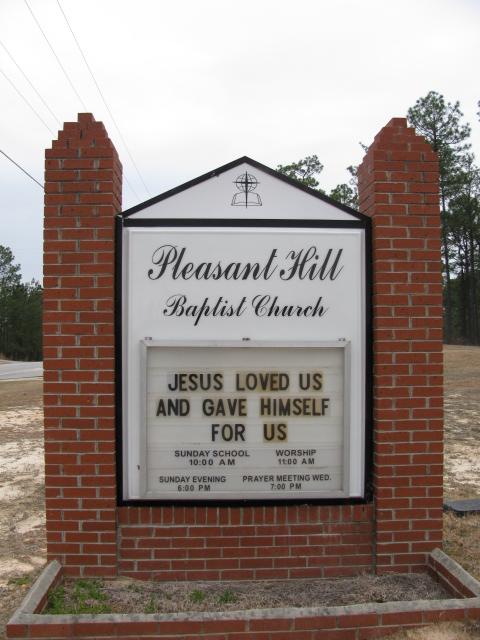
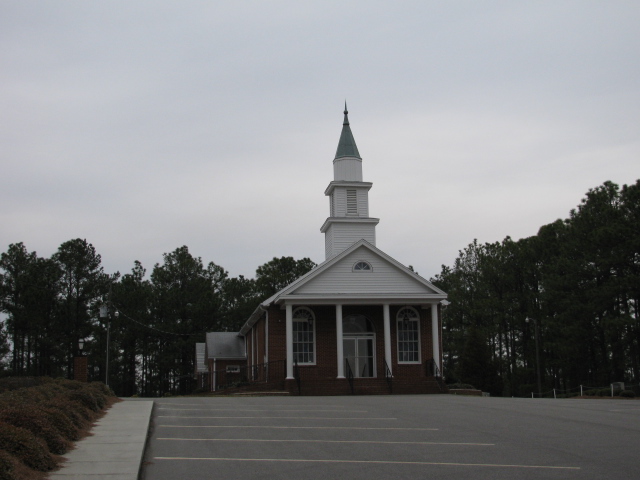
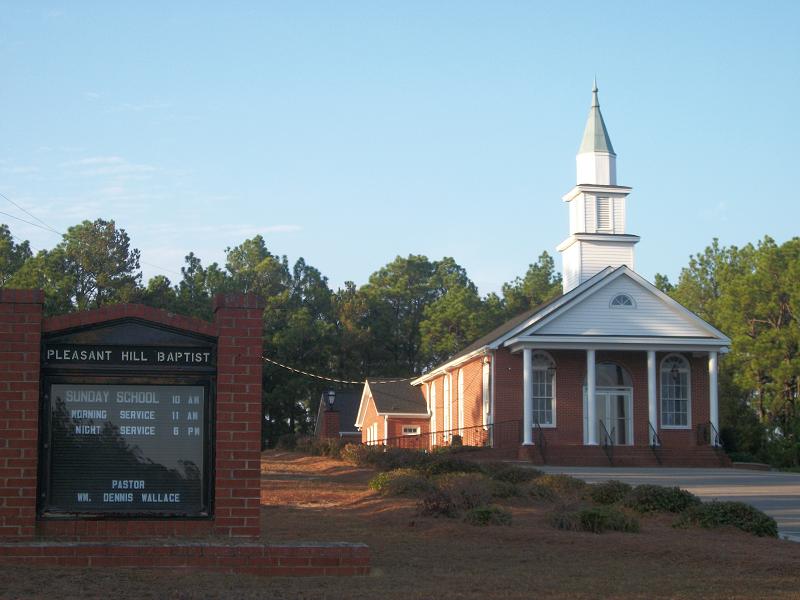
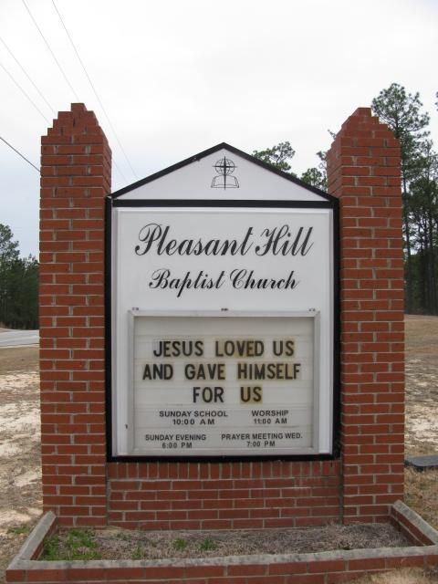
Pleasant Hill Baptist Church Cemetery is located at Teals Mill Road Cheraw, Chesterfield County ,South Carolina ,USA.
-
Pleasant Hill Baptist Church Cemetery cemetery's updated grave count on graveviews.com?
112 memorials
-
Where are the coordinates of the Pleasant Hill Baptist Church Cemetery?
Latitude: 34.6372990
Longitude: -79.9684310
Nearby Cemetories:
1. Forest Pine Freewill Independent Church Cemetery
Cheraw, Chesterfield County, USA
Coordinate: 34.6324050, -79.9585820
2. Piney Grove Baptist Church Cemetery
Patrick, Chesterfield County, USA
Coordinate: 34.6144500, -79.9728500
3. Curry Family Cemetery
Chesterfield, Chesterfield County, USA
Coordinate: 34.6478430, -80.0053170
4. Mount Olivet United Methodist Church Cemetery
Hunts Mill, Chesterfield County, USA
Coordinate: 34.6623192, -79.9972763
5. First Southern Methodist Church Cemetery
Cheraw, Chesterfield County, USA
Coordinate: 34.6692090, -79.9958000
6. Faith Freewill Baptist Church Cemetery
Cheraw, Chesterfield County, USA
Coordinate: 34.6717450, -79.9451980
7. Lower Macedonia Memorial Garden
Chesterfield, Chesterfield County, USA
Coordinate: 34.6688470, -80.0077090
8. Saint Marys Presbyterian Church Cemetery Old
Patrick, Chesterfield County, USA
Coordinate: 34.5989460, -80.0001400
9. J. C. Broome Memorial Garden
Cheraw, Chesterfield County, USA
Coordinate: 34.6753830, -79.9346970
10. Fisher Hill Community Cemetery
Cheraw, Chesterfield County, USA
Coordinate: 34.6738360, -79.9319040
11. Green Family Cemetery
Chesterfield, Chesterfield County, USA
Coordinate: 34.6514260, -80.0319670
12. Piney Grove Cemetery
Cheraw, Chesterfield County, USA
Coordinate: 34.5825000, -79.9705600
13. Mount Mary Baptist Church Cemetery
Chesterfield, Chesterfield County, USA
Coordinate: 34.6463050, -80.0383590
14. Progressive Church of Our Lord Jesus Christ Cemete
Cheraw, Chesterfield County, USA
Coordinate: 34.6910300, -79.9387430
15. Bethesda United Methodist Church Cemetery
Chesterfield, Chesterfield County, USA
Coordinate: 34.6422005, -80.0468979
16. Chatham Hill Memorial Gardens
Cheraw, Chesterfield County, USA
Coordinate: 34.6719017, -79.9019012
17. Ainsley Polson Cemetery
Patrick, Chesterfield County, USA
Coordinate: 34.5858600, -80.0204810
18. Smithville Cemetery
Chesterfield County, USA
Coordinate: 34.7047005, -79.9669037
19. Pine View Baptist Church Cemetery
Chesterfield, Chesterfield County, USA
Coordinate: 34.6662350, -80.0428890
20. Pleasant Grove United Methodist Church Cemetery
Cheraw, Chesterfield County, USA
Coordinate: 34.7048630, -79.9539520
21. Cranford Cemetery
Chesterfield, Chesterfield County, USA
Coordinate: 34.6837260, -80.0300450
22. Peniel Cemetery
Chesterfield, Chesterfield County, USA
Coordinate: 34.6644170, -80.0460000
23. Montrose Cemetery
Chesterfield County, USA
Coordinate: 34.6255989, -79.8842010
24. Fannie Cemetery
Chesterfield County, USA
Coordinate: 34.6352997, -80.0541992