
| Memorials | : | 0 |
| Location | : | Winkler, Freestone County, USA |
| Coordinate | : | 31.9386520, -96.2105370 |
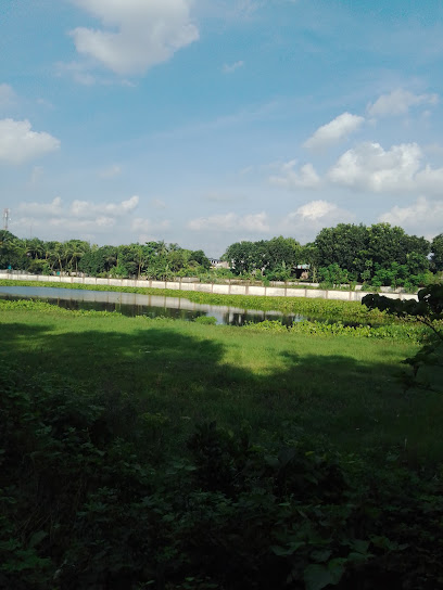
| Description | : | Directions: Located one mile Northeast of Winkler. The African American church is believed to have been in use as early as 1875 when Mr. Blackman owned the property. The earliest located documentation is dated 1898, concerning the three acres set aside for a school, church, and cemetery. Russ Teer |
frequently asked questions (FAQ):
-
Where is Pleasant Hall Baptist Church Cemetery?
Pleasant Hall Baptist Church Cemetery is located at Winkler, Freestone County ,Texas ,USA.
-
Pleasant Hall Baptist Church Cemetery cemetery's updated grave count on graveviews.com?
0 memorials
-
Where are the coordinates of the Pleasant Hall Baptist Church Cemetery?
Latitude: 31.9386520
Longitude: -96.2105370
Nearby Cemetories:
1. Lee Cemetery
Freestone County, USA
Coordinate: 31.9188995, -96.2074966
2. Saint Elmo Cemetery
Winkler, Freestone County, USA
Coordinate: 31.9396990, -96.1857960
3. Greenbriar Cemetery
Freestone County, USA
Coordinate: 31.9074993, -96.2043991
4. Robinson Cemetery
Freestone County, USA
Coordinate: 31.8898780, -96.2348940
5. Bonner Cemetery
Fairfield, Freestone County, USA
Coordinate: 31.8656080, -96.2246870
6. Harp Cemetery
Winkler, Freestone County, USA
Coordinate: 31.9282174, -96.1191363
7. Oak Grove Cemetery
Stewards Mill, Freestone County, USA
Coordinate: 31.8563995, -96.2161026
8. Old Anglin Cemetery
Freestone County, USA
Coordinate: 31.8318996, -96.1718979
9. Stewards Mill Cemetery
Stewards Mill, Freestone County, USA
Coordinate: 31.8219370, -96.2026960
10. Hope Well Methodist Episcopal Church Cemetery
Fairfield, Freestone County, USA
Coordinate: 31.8219370, -96.2026960
11. Cedar Grove Cemetery
Streetman, Freestone County, USA
Coordinate: 31.8528004, -96.3153000
12. Rhode Island Cemetery
Stewards Mill, Freestone County, USA
Coordinate: 31.8149640, -96.2315230
13. Rehoboth Cemetery
Young, Freestone County, USA
Coordinate: 31.8556004, -96.0832977
14. Cade Cemetery
Streetman, Freestone County, USA
Coordinate: 31.8682660, -96.3508500
15. Hopson Burleson Memorial Cemetery
Freestone County, USA
Coordinate: 31.8046550, -96.2576850
16. Lake Chapel Cemetery
Fairfield, Freestone County, USA
Coordinate: 31.7970200, -96.1403300
17. Johnson Cemetery
Freestone County, USA
Coordinate: 31.7831001, -96.2328033
18. Bateman Cemetery
Fairfield, Freestone County, USA
Coordinate: 31.7775840, -96.1757070
19. Webb-Branch Cemetery
Kirvin, Freestone County, USA
Coordinate: 31.7989006, -96.3341980
20. Dunagan Cemetery
Kirvin, Freestone County, USA
Coordinate: 31.7989920, -96.3353370
21. Day Cemetery
Fairfield, Freestone County, USA
Coordinate: 31.7722990, -96.1330320
22. Talley Cemetery
Fairfield, Freestone County, USA
Coordinate: 31.7564300, -96.1891570
23. Woodland Cemetery
Kirvin, Freestone County, USA
Coordinate: 31.7838993, -96.3416977
24. Sessions Cemetery
Kirvin, Freestone County, USA
Coordinate: 31.7705994, -96.3217010