
| Memorials | : | 157 |
| Location | : | Omaha, Douglas County, USA |
| Coordinate | : | 41.3185997, -95.9766998 |
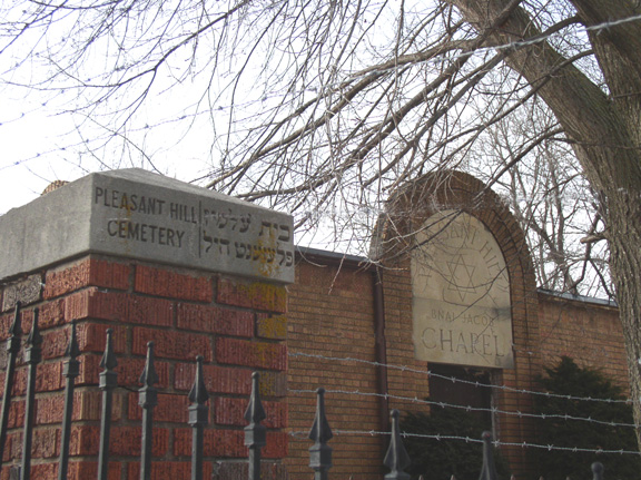
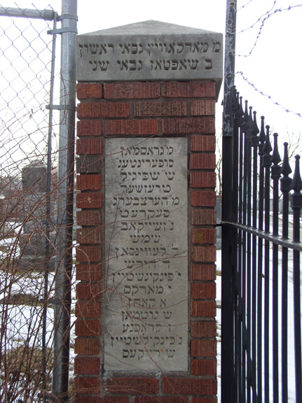
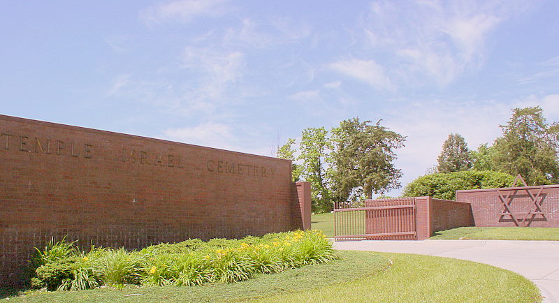
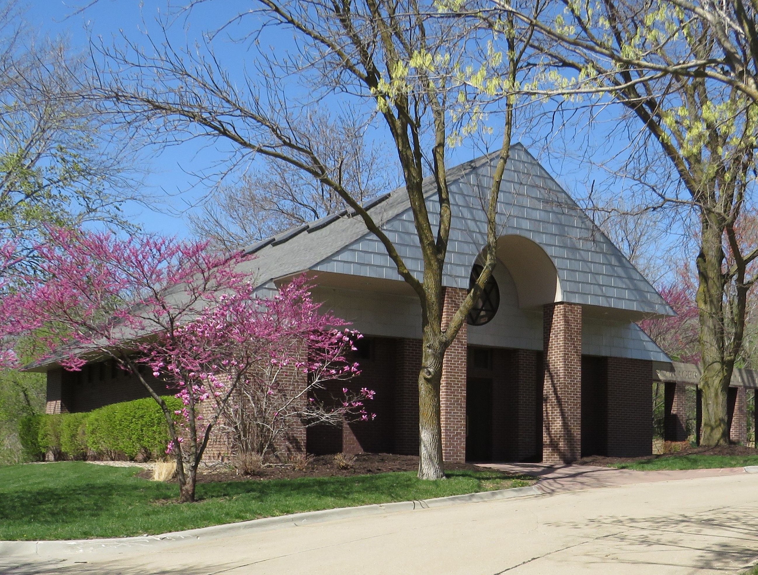
| Description | : | A second Pleasant Hill Cemetery is located on S. 132nd Street in Omaha. Temple Israel Cemetery, also know as Pleasant Hill Jewish Cemetery, is located at 6412 North 42nd Street in Omaha Nebraska. It is the oldest Jewish Cemetery in Nebraska. The B'nai Israel Society purchased the land in August of 1871. The society deeded the cemetery to the Congregation of Israel which later became Temple Israel. The cemetery comprises three different congregations. B'nai Shalom and B'nai Jacob, are now defunct. The third and still active congregation is Temple Israel with two sections in the cemetery, TI New and TI... Read More |
frequently asked questions (FAQ):
-
Where is Pleasant Hill Jewish Cemetery?
Pleasant Hill Jewish Cemetery is located at N. 42nd Street Omaha, Douglas County ,Nebraska ,USA.
-
Pleasant Hill Jewish Cemetery cemetery's updated grave count on graveviews.com?
157 memorials
-
Where are the coordinates of the Pleasant Hill Jewish Cemetery?
Latitude: 41.3185997
Longitude: -95.9766998
Nearby Cemetories:
1. Forest Lawn Memorial Park
Omaha, Douglas County, USA
Coordinate: 41.3272018, -95.9847031
2. Golden Hill Cemetery
Omaha, Douglas County, USA
Coordinate: 41.3050003, -95.9744034
3. Potter Field
Omaha, Douglas County, USA
Coordinate: 41.3320274, -95.9902878
4. Mormon Pioneer Cemetery
Omaha, Douglas County, USA
Coordinate: 41.3348450, -95.9663720
5. Springwell Cemetery
Omaha, Douglas County, USA
Coordinate: 41.3114014, -96.0096970
6. Servants of Mary Cemetery
Omaha, Douglas County, USA
Coordinate: 41.3017170, -96.0258260
7. Mount Sinai Cemetery
Omaha, Douglas County, USA
Coordinate: 41.3116989, -96.0314026
8. Prospect Hill Cemetery
Omaha, Douglas County, USA
Coordinate: 41.2780991, -95.9593964
9. Mount Hope Cemetery
Omaha, Douglas County, USA
Coordinate: 41.3041992, -96.0310974
10. Nash Chapel Crypt
Omaha, Douglas County, USA
Coordinate: 41.2665090, -95.9721790
11. First Central Congregational Columbarium
Omaha, Douglas County, USA
Coordinate: 41.2563456, -95.9658365
12. Trinity Cathedral Columbarium
Omaha, Douglas County, USA
Coordinate: 41.2603900, -95.9393660
13. Holy Sepulchre Cemetery
Omaha, Douglas County, USA
Coordinate: 41.2543983, -95.9875031
14. Union Memorial Cemetery
Omaha, Douglas County, USA
Coordinate: 41.3512611, -96.0620193
15. All Saints Episcopal Church Columbarium
Omaha, Douglas County, USA
Coordinate: 41.2785000, -96.0579000
16. Shipley Cemetery
Washington County, USA
Coordinate: 41.3932991, -95.9828033
17. Douglas County Poor Farm Cemetery
Omaha, Douglas County, USA
Coordinate: 41.2437240, -95.9723480
18. Bohemian Cemetery
Omaha, Douglas County, USA
Coordinate: 41.2388992, -95.9955978
19. Ak-Sar-Ben Racetrack Grounds
Omaha, Douglas County, USA
Coordinate: 41.2414703, -96.0159607
20. Westlawn-Hillcrest Memorial Park
Omaha, Douglas County, USA
Coordinate: 41.2346992, -95.9966965
21. Saint Andrews Episcopal Church Columbarium
Omaha, Douglas County, USA
Coordinate: 41.2492500, -96.0427500
22. Countryside Community Church Columbarium
Omaha, Douglas County, USA
Coordinate: 41.2483660, -96.0500270
23. Evergreen Memorial Park Cemetery
Omaha, Douglas County, USA
Coordinate: 41.2393990, -96.0355988
24. Calvary Cemetery
Omaha, Douglas County, USA
Coordinate: 41.2364006, -96.0294037