
| Memorials | : | 1 |
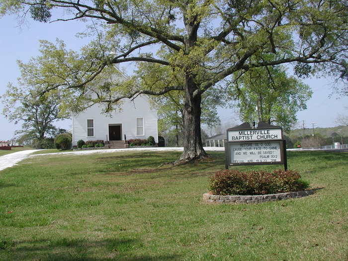
| Location | : | Millerville, Clay County, USA |
| Coordinate | : | 33.1892014, -85.9300003 |
frequently asked questions (FAQ):
-
Where is Millerville Baptist Church Cemetery?
Millerville Baptist Church Cemetery is located at Millerville, Clay County ,Alabama ,USA.
-
Millerville Baptist Church Cemetery cemetery's updated grave count on graveviews.com?
1 memorials
-
Where are the coordinates of the Millerville Baptist Church Cemetery?
Latitude: 33.1892014
Longitude: -85.9300003


Nearby Cemetories:
1. Wilsons Cemetery
Clay County, USA
Coordinate: 33.2083015, -85.9546967
2. Bethel Christian Church Cemetery
Ashland, Clay County, USA
Coordinate: 33.2020790, -85.8950860
3. Pleasant Hill Methodist Protestant Church Cemetery
Ashland, Clay County, USA
Coordinate: 33.2267410, -85.9252920
4. Big Springs Baptist Church Cemetery
Clay County, USA
Coordinate: 33.2052994, -85.8783035
5. Fairview Christian Church Cemetery
Ashland, Clay County, USA
Coordinate: 33.2353130, -85.9165190
6. Fairview Cemetery
Ashland, Clay County, USA
Coordinate: 33.2364006, -85.9171982
7. Simmons Community Cemetery
Millerville, Clay County, USA
Coordinate: 33.2196999, -85.9807968
8. Mount Zion Cemetery
Ashland, Clay County, USA
Coordinate: 33.2390870, -85.8887200
9. Guthrie Chapel Cemetery
Clay County, USA
Coordinate: 33.1360016, -85.8889999
10. Mount Zion Missionary Baptist Cemetery
Ashland, Clay County, USA
Coordinate: 33.1512060, -85.8667370
11. Old Liberty Hill Cemetery
Clay County, USA
Coordinate: 33.2230988, -85.8632965
12. Rock Springs Baptist Church Cemetery
Clay County, USA
Coordinate: 33.1403008, -85.9891968
13. Tom Hammonds Family Cemetery
Clay County, USA
Coordinate: 33.1638895, -86.0078795
14. Pleasant Home Missionary Baptist Church Cemetery
Millerville, Clay County, USA
Coordinate: 33.1276100, -85.9843400
15. Marvins Chapel Cemetery
Millerville, Clay County, USA
Coordinate: 33.1935997, -86.0246964
16. Oak Chapel Baptist Church Cemetery
Millerville, Clay County, USA
Coordinate: 33.1314000, -85.9956000
17. Pole Bridge Cemetery
Clay County, USA
Coordinate: 33.2700005, -85.9443970
18. Mount Ararat Cemetery
Gibsonville, Clay County, USA
Coordinate: 33.1594009, -85.8377991
19. New Hope Cemetery
Clay County, USA
Coordinate: 33.1093010, -85.9580610
20. Liberty United Methodist Church Cemetery
Tallapoosa County, USA
Coordinate: 33.1041985, -85.9447021
21. New Prospect Baptist Church Cemetery
Ashland, Clay County, USA
Coordinate: 33.2038990, -85.8268970
22. Liberty Baptist Church Cemetery
Ashland, Clay County, USA
Coordinate: 33.2717018, -85.8914032
23. Old Providence Baptist Church Cemetery
Tallapoosa County, USA
Coordinate: 33.0980988, -85.9225006
24. Brown Cemetery
Clay County, USA
Coordinate: 33.1741982, -85.8217010