
| Memorials | : | 0 |
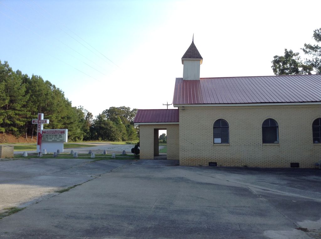
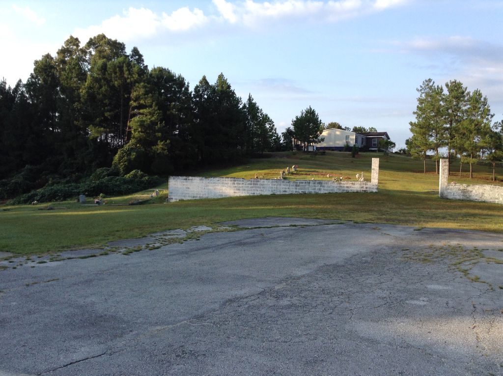
| Location | : | Millerville, Clay County, USA |
| Coordinate | : | 33.1276100, -85.9843400 |
frequently asked questions (FAQ):
-
Where is Pleasant Home Missionary Baptist Church Cemetery?
Pleasant Home Missionary Baptist Church Cemetery is located at Highway 9 Millerville, Clay County ,Alabama ,USA.
-
Pleasant Home Missionary Baptist Church Cemetery cemetery's updated grave count on graveviews.com?
0 memorials
-
Where are the coordinates of the Pleasant Home Missionary Baptist Church Cemetery?
Latitude: 33.1276100
Longitude: -85.9843400

Nearby Cemetories:
1. Oak Chapel Baptist Church Cemetery
Millerville, Clay County, USA
Coordinate: 33.1314000, -85.9956000
2. Rock Springs Baptist Church Cemetery
Clay County, USA
Coordinate: 33.1403008, -85.9891968
3. New Prospect Primitive Baptist Church Cemetery
Millerville, Clay County, USA
Coordinate: 33.1134515, -85.9924667
4. New Hope Cemetery
Clay County, USA
Coordinate: 33.1093010, -85.9580610
5. Liberty United Methodist Church Cemetery
Tallapoosa County, USA
Coordinate: 33.1041985, -85.9447021
6. Dillard Cemetery
Alexander City, Tallapoosa County, USA
Coordinate: 33.0905991, -85.9638977
7. Tom Hammonds Family Cemetery
Clay County, USA
Coordinate: 33.1638895, -86.0078795
8. Brownville Cemetery
Clay County, USA
Coordinate: 33.1255989, -86.0464020
9. Greenview Memorial Park Cemetery
Goodwater, Coosa County, USA
Coordinate: 33.0867004, -86.0246964
10. Old Providence Baptist Church Cemetery
Tallapoosa County, USA
Coordinate: 33.0980988, -85.9225006
11. O'Neil Cemetery
Goodwater, Coosa County, USA
Coordinate: 33.0908830, -86.0493170
12. Marvins Chapel Cemetery
Millerville, Clay County, USA
Coordinate: 33.1935997, -86.0246964
13. Millerville Baptist Church Cemetery
Millerville, Clay County, USA
Coordinate: 33.1892014, -85.9300003
14. Rozelle and Chandler Cemetery
Clay County, USA
Coordinate: 33.1810989, -86.0507965
15. Hackneyville Cemetery
Tallapoosa County, USA
Coordinate: 33.0621986, -85.9344025
16. Saint James AME Church Cemetery
Goodwater, Coosa County, USA
Coordinate: 33.0717950, -86.0501800
17. Hackneyville Presbyterian Cemetery
Tallapoosa County, USA
Coordinate: 33.0616989, -85.9306030
18. Guthrie Chapel Cemetery
Clay County, USA
Coordinate: 33.1360016, -85.8889999
19. Smyrna Primitive Baptist Church Cemetery
Goodwater, Coosa County, USA
Coordinate: 33.0518990, -86.0216980
20. Wilsons Cemetery
Clay County, USA
Coordinate: 33.2083015, -85.9546967
21. Almighty God Missionary Baptist Church Cemetery
Goodwater, Coosa County, USA
Coordinate: 33.0627350, -86.0539910
22. Goodwater Cemetery
Goodwater, Coosa County, USA
Coordinate: 33.0611000, -86.0532990
23. Simmons Community Cemetery
Millerville, Clay County, USA
Coordinate: 33.2196999, -85.9807968
24. Bethany Baptist Church Cemetery
Pearson Chapel, Tallapoosa County, USA
Coordinate: 33.0338800, -85.9820600