
| Memorials | : | 0 |
| Location | : | Lewis County, USA |
| Coordinate | : | 39.0706910, -80.6644980 |
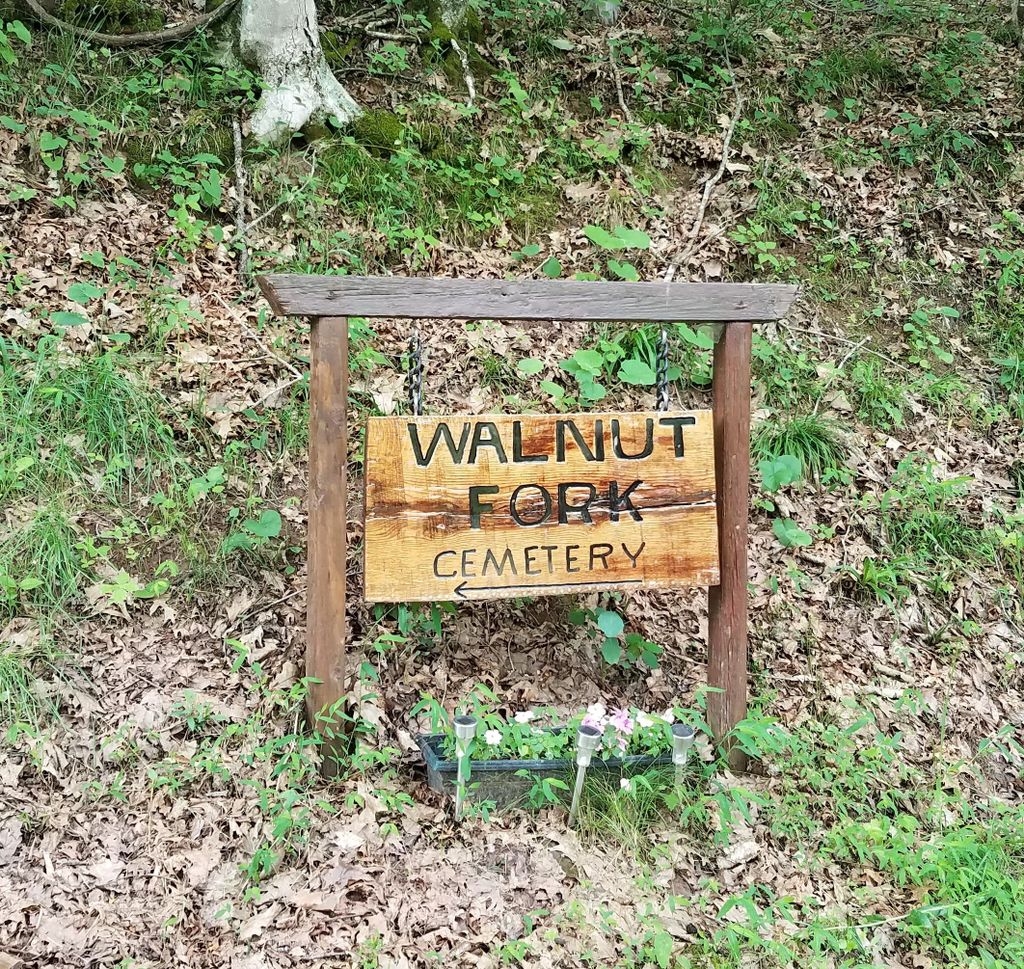
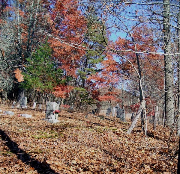
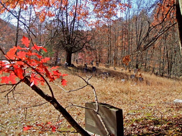
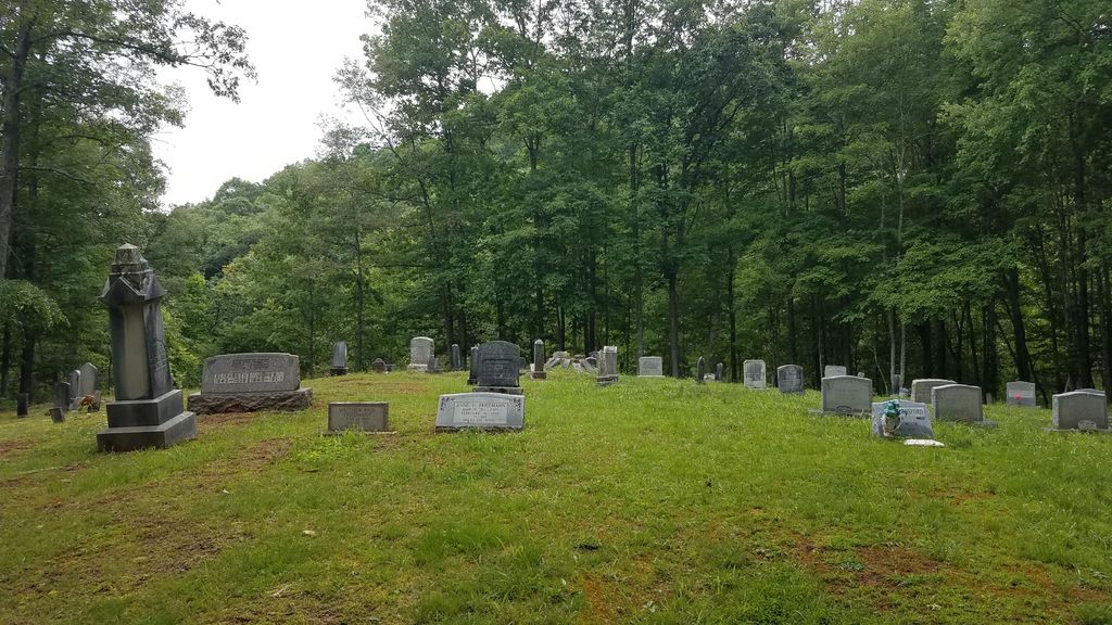
| Description | : | Cemetery is located in the Northwest corner of Lewis County, WV. Travel west out of Weston,WV on US Route 33/119, 14 miles, to the Vadis Road on the right (County Route 11). Go over Vadis Hill. On the other side, at the foot of the hill,cross a small cement bridge and immediatley turn right to go up to the Walnut Fork Road. Proceed 2.2 miles to the forks of the road, turn left (County Route 11/5). Go approximately 1 mile, the road goes up a small hill and the cemetery is on the left side of the road. This Cemetery was also... Read More |
frequently asked questions (FAQ):
-
Where is Walnut Fork Cemetery?
Walnut Fork Cemetery is located at Lewis County ,West Virginia ,USA.
-
Walnut Fork Cemetery cemetery's updated grave count on graveviews.com?
0 memorials
-
Where are the coordinates of the Walnut Fork Cemetery?
Latitude: 39.0706910
Longitude: -80.6644980
Nearby Cemetories:
1. Straight Run Cemetery
Hurst, Lewis County, USA
Coordinate: 39.0802994, -80.6774979
2. Hurst Cemetery
Lewis County, USA
Coordinate: 39.0741997, -80.6999969
3. Halderman Cemetery
Lewis County, USA
Coordinate: 39.0821991, -80.7039032
4. Woofter Cemetery
Alum Bridge, Lewis County, USA
Coordinate: 39.0299988, -80.6808014
5. Moneypenny Cemetery
Alum Bridge, Lewis County, USA
Coordinate: 39.0281466, -80.6809317
6. Saint Boniface Catholic Cemetery
Camden, Lewis County, USA
Coordinate: 39.0342580, -80.6288680
7. Carder Cemetery
Vadis, Lewis County, USA
Coordinate: 39.0433006, -80.7142029
8. Woofter Cemetery
Lewis County, USA
Coordinate: 39.1044006, -80.6200027
9. Saint Mary's Cemetery
Fink, Lewis County, USA
Coordinate: 39.1180992, -80.6264038
10. Point Pleasant Baptist Church Cemetery
Leopold, Doddridge County, USA
Coordinate: 39.1036730, -80.7268200
11. Point Pleasant Cemetery
Oxford, Doddridge County, USA
Coordinate: 39.1032982, -80.7281036
12. Saint Johannes Lutheran Church Cemetery
New Milton, Doddridge County, USA
Coordinate: 39.1258320, -80.7014290
13. Saint Clare Cemetery
Saint Clara, Doddridge County, USA
Coordinate: 39.1258011, -80.7046967
14. Cheuvront Cemetery
Churchville, Lewis County, USA
Coordinate: 39.1050600, -80.5941370
15. Rock Grove Cemetery
Latonia, Gilmer County, USA
Coordinate: 39.0125008, -80.7018967
16. Big Run Cemetery
Gilmer County, USA
Coordinate: 39.0802994, -80.7585983
17. Farnsworth Cemetery
Linn, Gilmer County, USA
Coordinate: 39.0177994, -80.7378006
18. Mount Earnest Cemetery
Gilmer County, USA
Coordinate: 39.0867004, -80.7652969
19. Lough Cemetery
New Milton, Doddridge County, USA
Coordinate: 39.1514160, -80.6667000
20. Henry Cemetery
Camden, Lewis County, USA
Coordinate: 39.0292350, -80.5751540
21. Snyder Cemetery
Churchville, Lewis County, USA
Coordinate: 39.0918312, -80.5624847
22. Mount Zion Baptist Church Cemetery
Weston, Lewis County, USA
Coordinate: 39.1182850, -80.5699220
23. Lowther Cemetery
Doddridge County, USA
Coordinate: 39.1096992, -80.7656021
24. Old Field Fork Cemetery
Lewis County, USA
Coordinate: 38.9827995, -80.6710968