
| Memorials | : | 0 |
| Location | : | Carlyle, Clinton County, USA |
| Coordinate | : | 38.6463970, -89.3730710 |
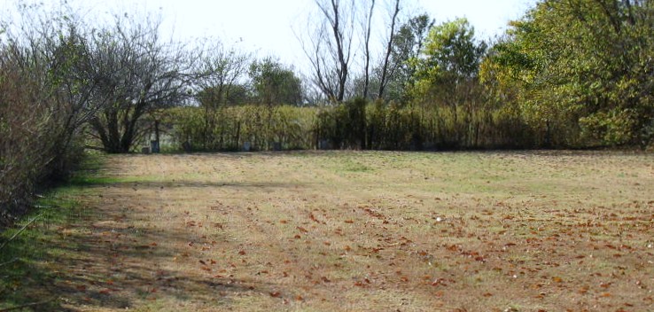
| Description | : | The Clinton County Poor Farm was established about 1854, and the cemetery, also known as Paupers Cemetery, is located on the west side of State Route 127 just north of Bretz Wildlife Lodge. There are five remaining concrete markers, all from the 1920s, but St. Mary’s Catholic Church records indicate 14 other individuals were buried there between 1878 and 1885. Another 10 residents of the “Poor Farm” were buried in St. Mary’s Cemetery. |
frequently asked questions (FAQ):
-
Where is Poor Farm Cemetery?
Poor Farm Cemetery is located at Route 127 North Carlyle, Clinton County ,Illinois , 62231USA.
-
Poor Farm Cemetery cemetery's updated grave count on graveviews.com?
0 memorials
-
Where are the coordinates of the Poor Farm Cemetery?
Latitude: 38.6463970
Longitude: -89.3730710
Nearby Cemetories:
1. Saint Marys Cemetery
Carlyle, Clinton County, USA
Coordinate: 38.6189003, -89.3628006
2. Allen Cemetery
Carlyle, Clinton County, USA
Coordinate: 38.6171500, -89.3603000
3. Carlyle Cemetery
Carlyle, Clinton County, USA
Coordinate: 38.6169014, -89.3610992
4. Foster Cemetery
Carlyle, Clinton County, USA
Coordinate: 38.6166700, -89.3597300
5. Heinzmann Burial Site
Carlyle, Clinton County, USA
Coordinate: 38.6166600, -89.3595800
6. Yingst Cemetery
Carlyle, Clinton County, USA
Coordinate: 38.6828003, -89.3964005
7. Burnside Cemetery
Carlyle, Clinton County, USA
Coordinate: 38.6646000, -89.3118000
8. Godell Graveyard
Marydale, Clinton County, USA
Coordinate: 38.7045060, -89.4167380
9. Miller Graveyard
Clinton County, USA
Coordinate: 38.6381000, -89.4618000
10. Beaver Creek Baptist Church Cemetery
Marydale, Clinton County, USA
Coordinate: 38.7117340, -89.4071140
11. Saint Peter Lutheran Church Cemetery
Stolletown, Clinton County, USA
Coordinate: 38.6876400, -89.4471000
12. Rudolph Cemetery
Stolletown, Clinton County, USA
Coordinate: 38.6674995, -89.4608002
13. Beckemeyer Cemetery
Beckemeyer, Clinton County, USA
Coordinate: 38.6086006, -89.4533005
14. Saint Anthonys Cemetery
Beckemeyer, Clinton County, USA
Coordinate: 38.5974998, -89.4477997
15. Bowen Graveyard
Jamestown, Clinton County, USA
Coordinate: 38.7231000, -89.4029000
16. Noe Graveyard
Keyesport, Clinton County, USA
Coordinate: 38.7225000, -89.3398000
17. Oliver Maddux Grave Yard
Beckemeyer, Clinton County, USA
Coordinate: 38.5931500, -89.4527830
18. Saint Felicitas Cemetery
Wheatfield Township, Clinton County, USA
Coordinate: 38.6966782, -89.4560776
19. Collins Cemetery
Huey, Clinton County, USA
Coordinate: 38.5835991, -89.2996979
20. Locey Cemetery
Clinton County, USA
Coordinate: 38.5616989, -89.3953018
21. Elmwood Cemetery
Clinton County, USA
Coordinate: 38.6425018, -89.2619019
22. Wilton Family Cemetery
Huey, Clinton County, USA
Coordinate: 38.5693000, -89.3187000
23. Cole Family Cemetery
Keyesport, Clinton County, USA
Coordinate: 38.7339172, -89.3852386
24. Frogtown Cemetery
Breese, Clinton County, USA
Coordinate: 38.6487000, -89.4937000