
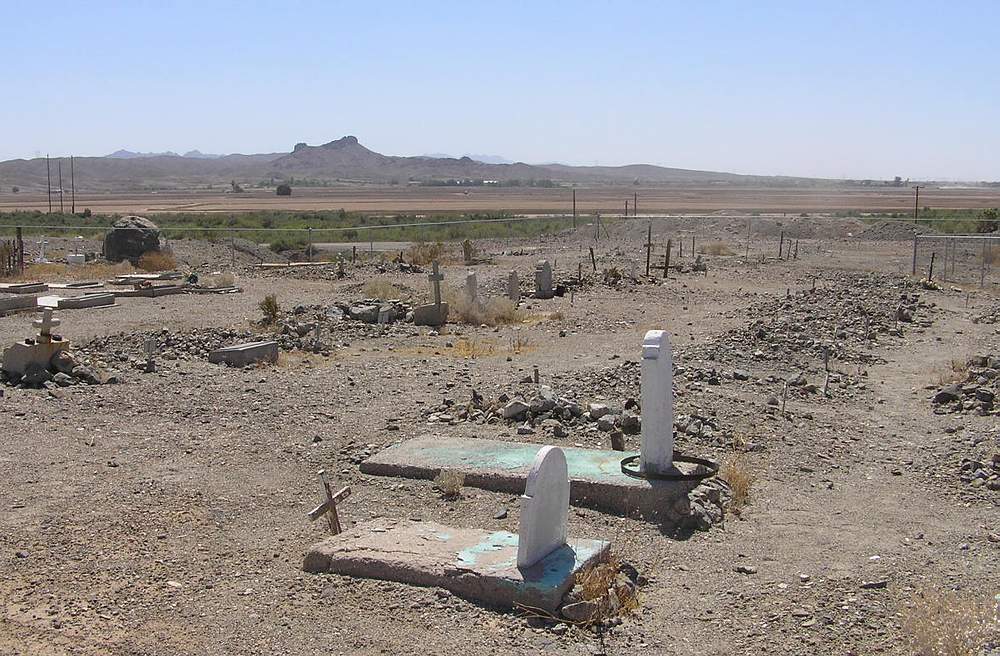
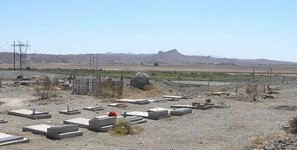
| Memorials | : | 69 |
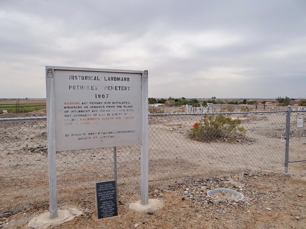
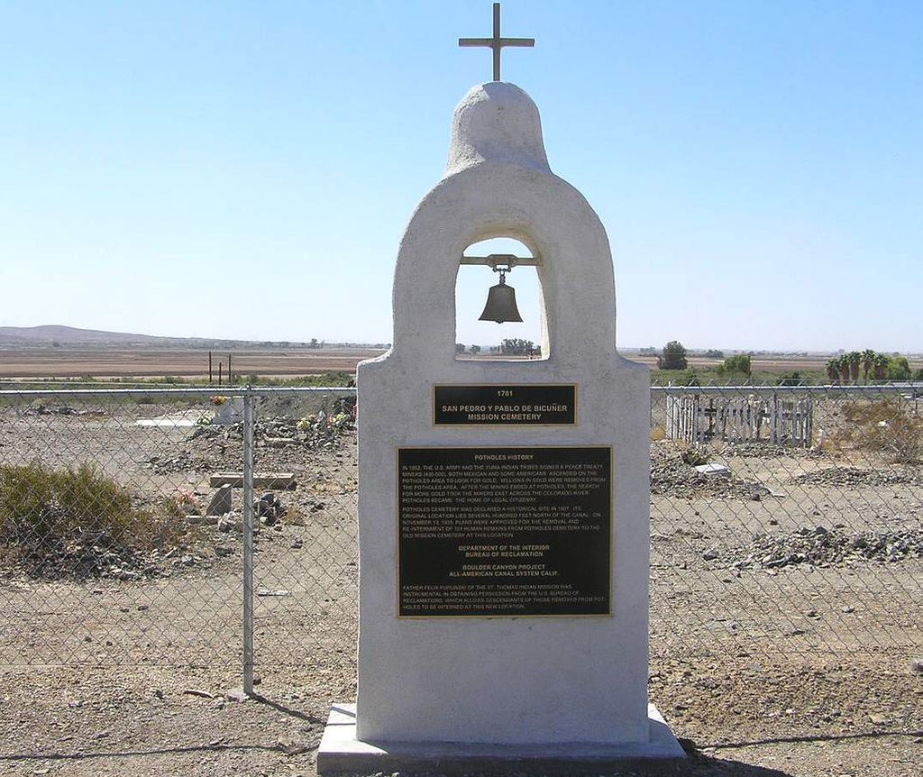
| Location | : | Bard, Imperial County, USA |
| Coordinate | : | 32.8171997, -114.5119019 |
frequently asked questions (FAQ):
-
Where is Potholes Cemetery?
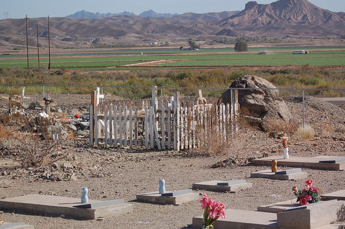
Potholes Cemetery is located at Bard, Imperial County ,California ,USA.
-
Potholes Cemetery cemetery's updated grave count on graveviews.com?
69 memorials
-
Where are the coordinates of the Potholes Cemetery?
Latitude: 32.8171997
Longitude: -114.5119019


Nearby Cemetories:
1. Laguna Cemetery
Laguna, Yuma County, USA
Coordinate: 32.8017113, -114.4963377
2. Quechan Indian Cemetery
Winterhaven, Imperial County, USA
Coordinate: 32.7395962, -114.6147566
3. Fort Yuma Post
Winterhaven, Imperial County, USA
Coordinate: 32.7387790, -114.6142540
4. Yuma Territorial Prison State Historic Park
Yuma, Yuma County, USA
Coordinate: 32.7262000, -114.6134000
5. Dome Cemetery
Yuma County, USA
Coordinate: 32.7558500, -114.3652170
6. Yuma Pioneer Cemetery
Yuma, Yuma County, USA
Coordinate: 32.7042007, -114.6177979
7. Desert Lawn Memorial Park
Yuma, Yuma County, USA
Coordinate: 32.7016983, -114.6175003
8. Christ Lutheran Church Columbarium
Yuma, Yuma County, USA
Coordinate: 32.6813300, -114.5940800
9. Saint Pauls Episcopal Church Columbarium
Yuma, Yuma County, USA
Coordinate: 32.6992000, -114.6380000
10. Faith Lutheran Church Columbarium
Yuma, Yuma County, USA
Coordinate: 32.6862500, -114.6284900
11. Gloria de Cristo Lutheran Church Columbarium
Yuma, Yuma County, USA
Coordinate: 32.6553600, -114.4404100
12. Sunset Vista Funeral Home & Cemetery
Yuma, Yuma County, USA
Coordinate: 32.6548000, -114.4386000
13. Saint John Neumann Catholic Church Columbarium
Yuma, Yuma County, USA
Coordinate: 32.6550700, -114.4368200
14. Trinity United Methodist Church Columbarium
Yuma, Yuma County, USA
Coordinate: 32.6726400, -114.6290600
15. Picacho Mine Cemetery
Picacho, Imperial County, USA
Coordinate: 32.9665000, -114.6375500
16. Picacho Cemetery
Imperial County, USA
Coordinate: 33.0207280, -114.6177150
17. Panteón Ejido Culiacán
Vicente Guerrero, Ensenada Municipality, Mexico
Coordinate: 32.7119410, -114.7548960
18. Ogilby Cemetery
Ogilby, Imperial County, USA
Coordinate: 32.8152300, -114.8389400
19. Hedges Cemetery
Imperial County, USA
Coordinate: 32.8843994, -114.8302994
20. East Cocopah Indian Reservation Cemetery
Somerton, Yuma County, USA
Coordinate: 32.5743500, -114.6740700
21. West Cocopah Indian Reservation Cemetery
Somerton, Yuma County, USA
Coordinate: 32.6152000, -114.7638390
22. Wellton Memorial Cemetery
Wellton, Yuma County, USA
Coordinate: 32.6536000, -114.1420000
23. Panteón Ejidal Morelos Arnulfo Meza Villegas
Cuervos, Mexicali Municipality, Mexico
Coordinate: 32.6159060, -114.8566100
24. Panteón de Ejido Mérida
Merida, Mexicali Municipality, Mexico
Coordinate: 32.6518250, -114.9065090