
| Memorials | : | 2 |
| Location | : | Carroll County, USA |
| Coordinate | : | 39.5990000, -93.4568000 |
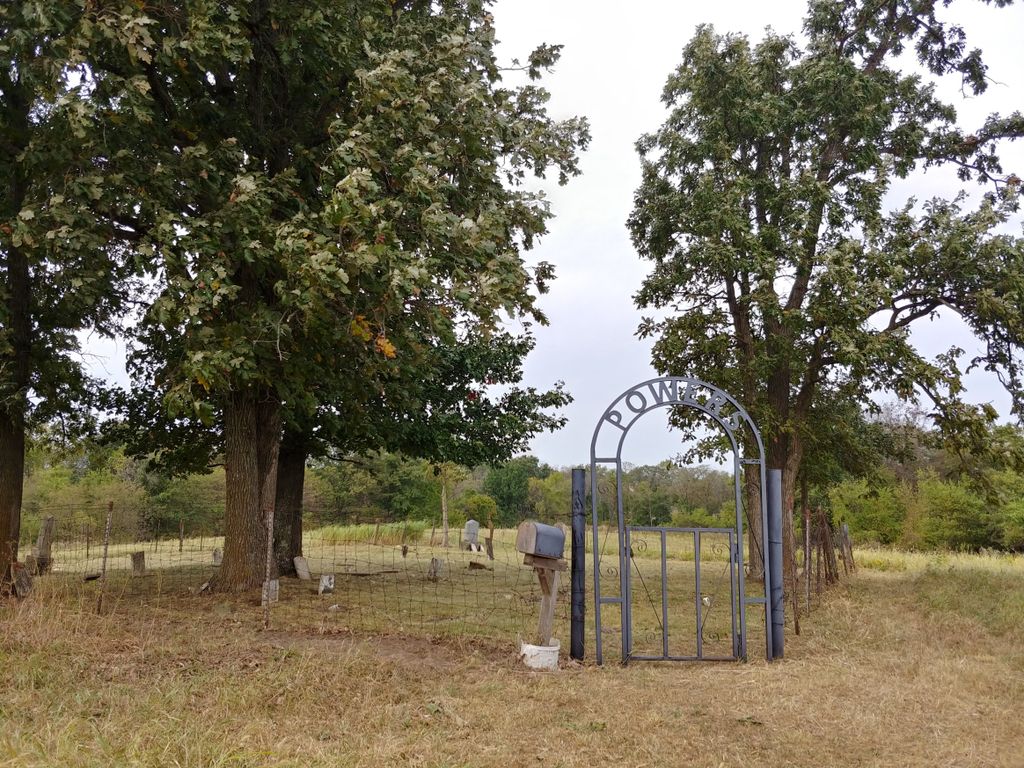
| Description | : | Powers Cemetery is visible from the gravel road. This quiet knoll located near Turkey Creek on the rolling prairie of Fairfield Township was selected by the early settlers as the final resting place for their beloved. They chose well because the black earth i deep with an occasional native red sandstone rock. The cemetery was named after the adjoining land owners--the Powers Family. It sometimes has been called Pitts Cemetery because of the Pitts Family ownership of acreage in the area. It also has been affectionately called Hawkins Cemetery because of the number of Hawkins infants interred. Time passed by this early pioneer's... Read More |
frequently asked questions (FAQ):
-
Where is Powers Cemetery?
Powers Cemetery is located at Fairfield Township, west of Mandeville, MO on the north side of CR 178 Carroll County ,Missouri ,USA.
-
Powers Cemetery cemetery's updated grave count on graveviews.com?
2 memorials
-
Where are the coordinates of the Powers Cemetery?
Latitude: 39.5990000
Longitude: -93.4568000


Nearby Cemetories:
1. Unnamed Cemetery #10
Carroll County, USA
Coordinate: 39.6150017, -93.4850998
2. Johnson Cemetery
Carroll County, USA
Coordinate: 39.6136017, -93.4985962
3. Arkadelphia Cemetery
Livingston County, USA
Coordinate: 39.6335983, -93.4405975
4. Macklin Cemetery
Carroll County, USA
Coordinate: 39.5861015, -93.4039001
5. Avalon Cemetery
Avalon, Livingston County, USA
Coordinate: 39.6521988, -93.4400024
6. Bridge Creek Cemetery
Carroll County, USA
Coordinate: 39.5649000, -93.4012000
7. Mayberry Cemetery
Livingston County, USA
Coordinate: 39.6506004, -93.5033035
8. Oak Grove Cemetery
Avalon, Livingston County, USA
Coordinate: 39.6505750, -93.5035460
9. Rock Branch Cemetery
Tina, Carroll County, USA
Coordinate: 39.5283012, -93.4569016
10. McClain Cemetery
Carroll County, USA
Coordinate: 39.5241013, -93.4203033
11. Hale Cemetery
Hale, Carroll County, USA
Coordinate: 39.6143000, -93.3537000
12. Coloma Cemetery
Coloma, Carroll County, USA
Coordinate: 39.5342178, -93.5233154
13. Hale Memorial Gardens Cemetery
Carroll County, USA
Coordinate: 39.6082000, -93.3481000
14. Godsey-Brown Cemetery
Carroll County, USA
Coordinate: 39.5141983, -93.4397964
15. New Salem Cemetery
Carroll County, USA
Coordinate: 39.5705681, -93.5641022
16. Cameron Cemetery
Livingston County, USA
Coordinate: 39.6333008, -93.3510971
17. Blue Mound Cemetery
Dawn, Livingston County, USA
Coordinate: 39.6352997, -93.5625000
18. Fairland Cemetery
Livingston County, USA
Coordinate: 39.6561012, -93.3653030
19. Braden Cemetery
Coloma, Carroll County, USA
Coordinate: 39.5393982, -93.5460968
20. Munro Cemetery
Avalon, Livingston County, USA
Coordinate: 39.6962820, -93.4184320
21. Burnside Cemetery
Chillicothe, Livingston County, USA
Coordinate: 39.7036018, -93.4708023
22. Elizabeth Cemetery
Carroll County, USA
Coordinate: 39.5569000, -93.3277969
23. Unnamed Cemetery #5
Carroll County, USA
Coordinate: 39.5480995, -93.5820007
24. Van Horn Cemetery
Van Horn Township, Carroll County, USA
Coordinate: 39.4850000, -93.4760000