
| Memorials | : | 0 |
| Location | : | Avalon, Livingston County, USA |
| Coordinate | : | 39.6505750, -93.5035460 |
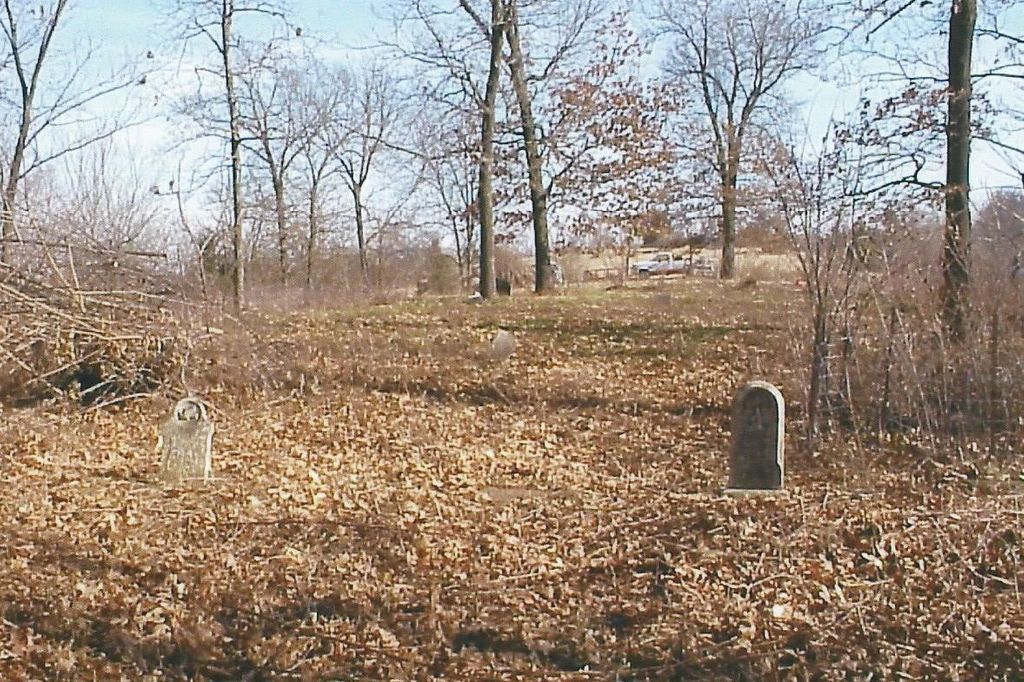
| Description | : | The Maberry Cemetery is located about nine miles South of Chillicothe in Section 20, Township 56, Range 23 of Fairview Township in Livingston County, Missouri. From Chillicothe, take Highway 65 South to the Junction of Route H, then West on the gravel road for one mile, then South 1/2 mile on the dirt road. It is located about 1/4 mile West in a pasture on private property. |
frequently asked questions (FAQ):
-
Where is Oak Grove Cemetery?
Oak Grove Cemetery is located at Avalon, Livingston County ,Missouri ,USA.
-
Oak Grove Cemetery cemetery's updated grave count on graveviews.com?
0 memorials
-
Where are the coordinates of the Oak Grove Cemetery?
Latitude: 39.6505750
Longitude: -93.5035460
Nearby Cemetories:
1. Mayberry Cemetery
Livingston County, USA
Coordinate: 39.6506004, -93.5033035
2. Johnson Cemetery
Carroll County, USA
Coordinate: 39.6136017, -93.4985962
3. Unnamed Cemetery #10
Carroll County, USA
Coordinate: 39.6150017, -93.4850998
4. Blue Mound Cemetery
Dawn, Livingston County, USA
Coordinate: 39.6352997, -93.5625000
5. Avalon Cemetery
Avalon, Livingston County, USA
Coordinate: 39.6521988, -93.4400024
6. Arkadelphia Cemetery
Livingston County, USA
Coordinate: 39.6335983, -93.4405975
7. Burnside Cemetery
Chillicothe, Livingston County, USA
Coordinate: 39.7036018, -93.4708023
8. Powers Cemetery
Carroll County, USA
Coordinate: 39.5990000, -93.4568000
9. Christison Cemetery
Blue Mound, Livingston County, USA
Coordinate: 39.6981400, -93.5751200
10. Munro Cemetery
Avalon, Livingston County, USA
Coordinate: 39.6962820, -93.4184320
11. New Salem Cemetery
Carroll County, USA
Coordinate: 39.5705681, -93.5641022
12. Elliot Cemetery
Dawn, Livingston County, USA
Coordinate: 39.6737900, -93.6265900
13. Macklin Cemetery
Carroll County, USA
Coordinate: 39.5861015, -93.4039001
14. Fairland Cemetery
Livingston County, USA
Coordinate: 39.6561012, -93.3653030
15. Collar Cemetery
Dawn, Livingston County, USA
Coordinate: 39.6345700, -93.6418300
16. Braden Cemetery
Coloma, Carroll County, USA
Coordinate: 39.5393982, -93.5460968
17. Bridge Creek Cemetery
Carroll County, USA
Coordinate: 39.5649000, -93.4012000
18. Coloma Cemetery
Coloma, Carroll County, USA
Coordinate: 39.5342178, -93.5233154
19. Cameron Cemetery
Livingston County, USA
Coordinate: 39.6333008, -93.3510971
20. Unnamed Cemetery #5
Carroll County, USA
Coordinate: 39.5480995, -93.5820007
21. Mount Zion Church Cemetery
Chillicothe, Livingston County, USA
Coordinate: 39.7676100, -93.5389100
22. Hale Cemetery
Hale, Carroll County, USA
Coordinate: 39.6143000, -93.3537000
23. Wolfskill Cemetery
Bedford, Livingston County, USA
Coordinate: 39.6804167, -93.3443333
24. Enon Cemetery
Carroll County, USA
Coordinate: 39.5758000, -93.6366000