
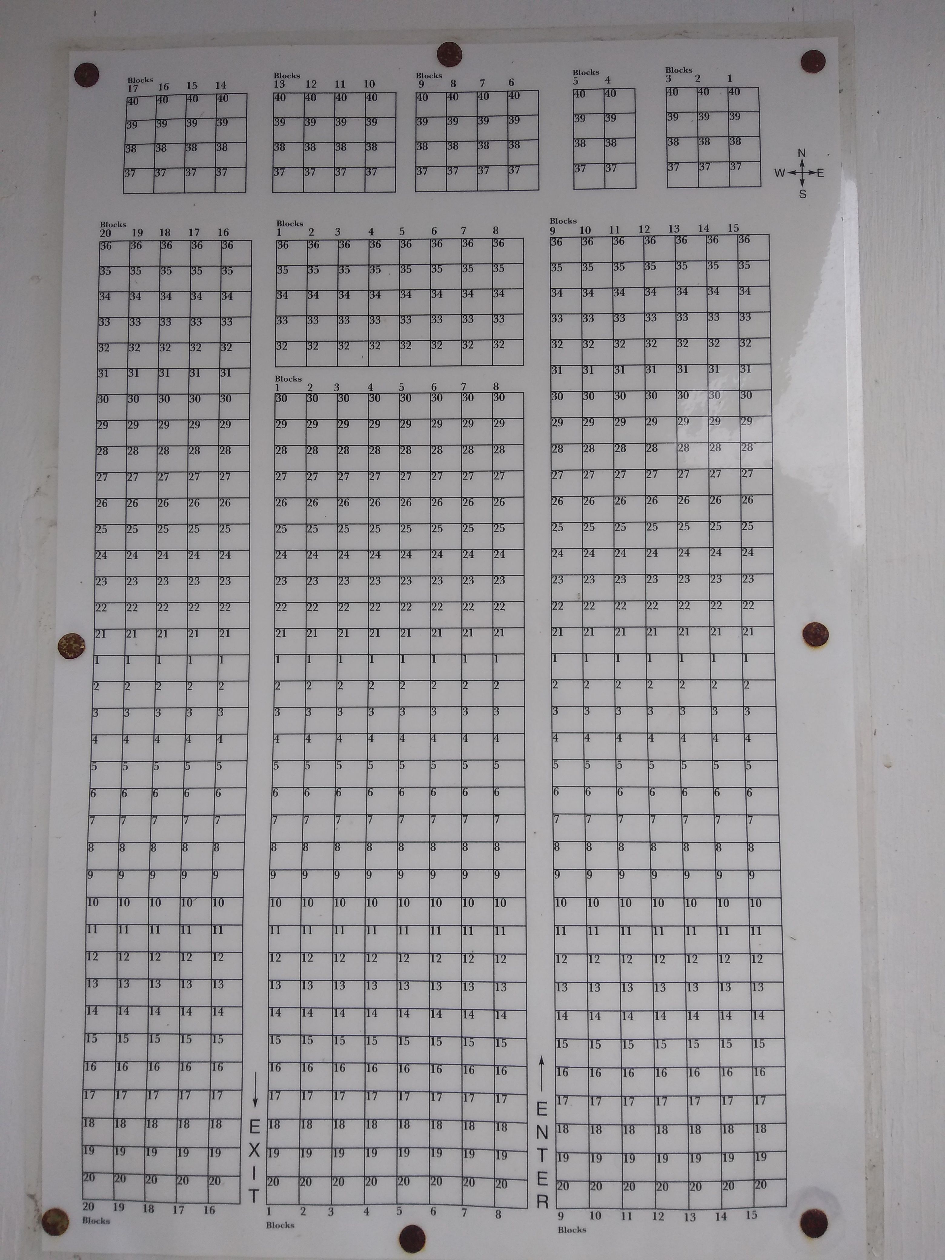
| Memorials | : | 243 |
| Location | : | Shubert, Richardson County, USA |
| Coordinate | : | 40.2475800, -95.7150200 |
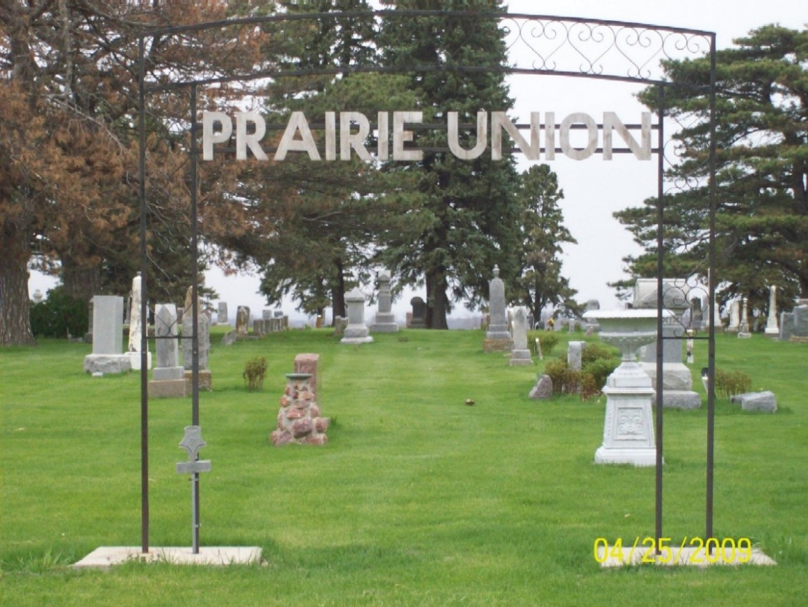
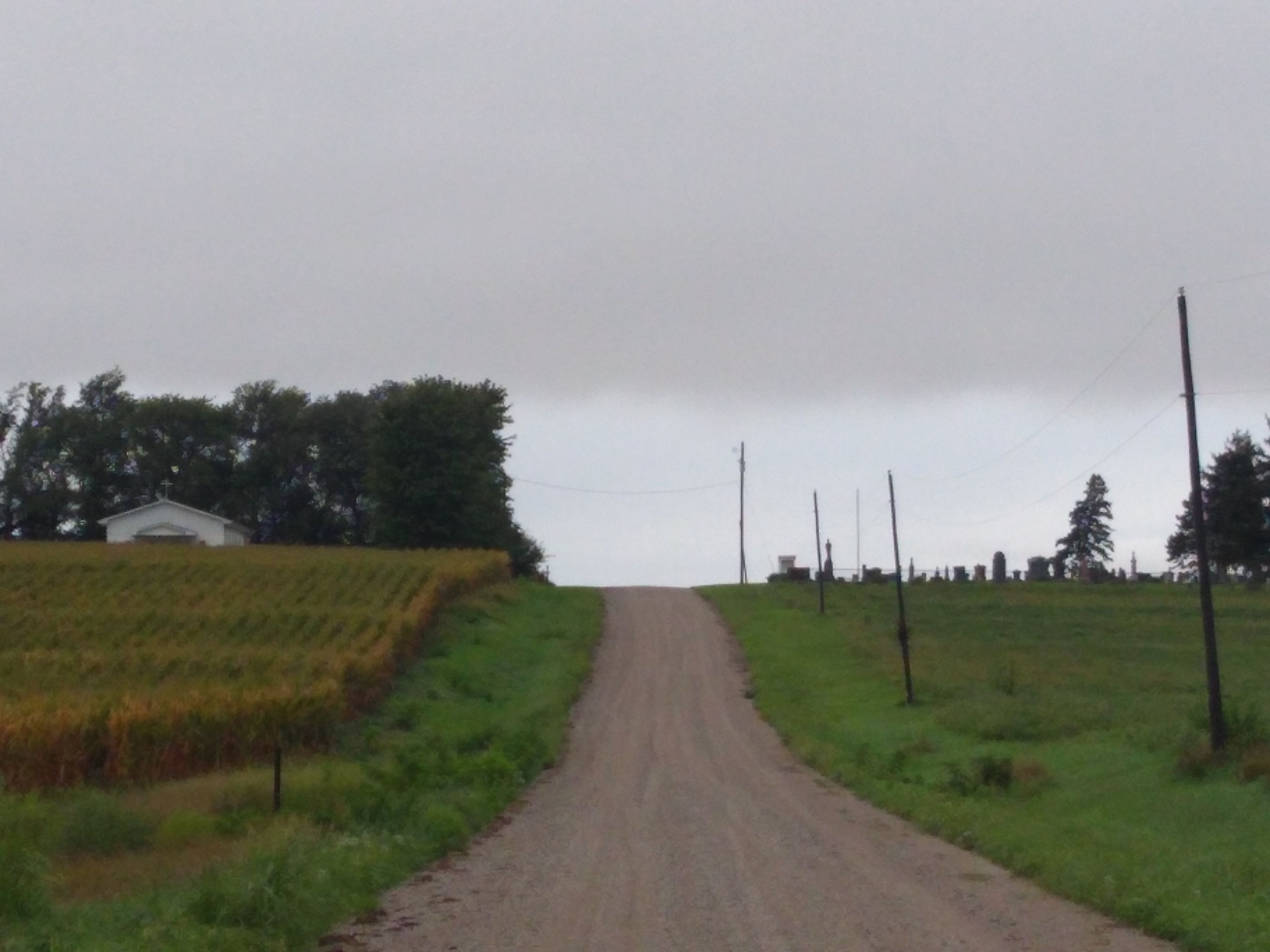
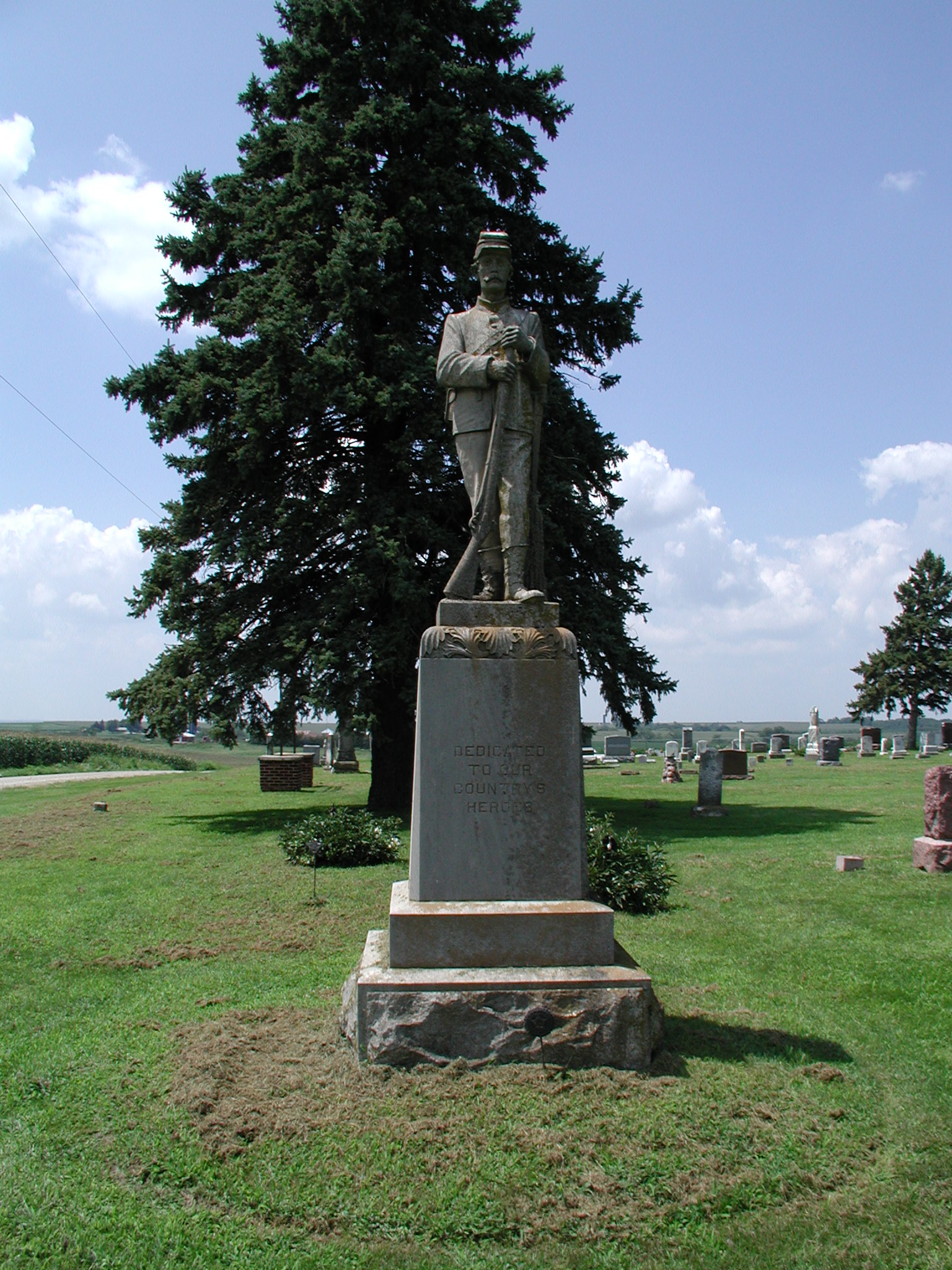
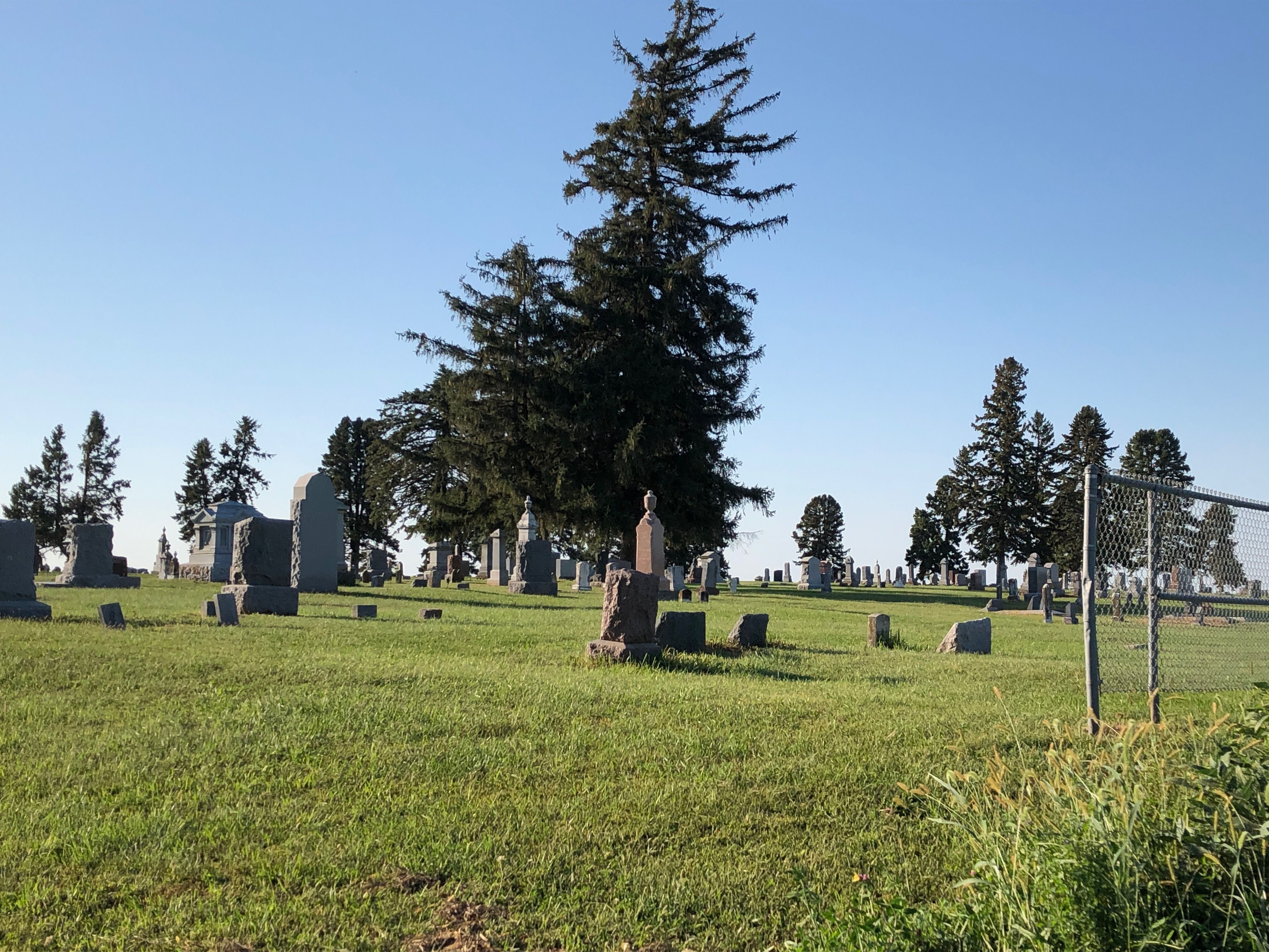
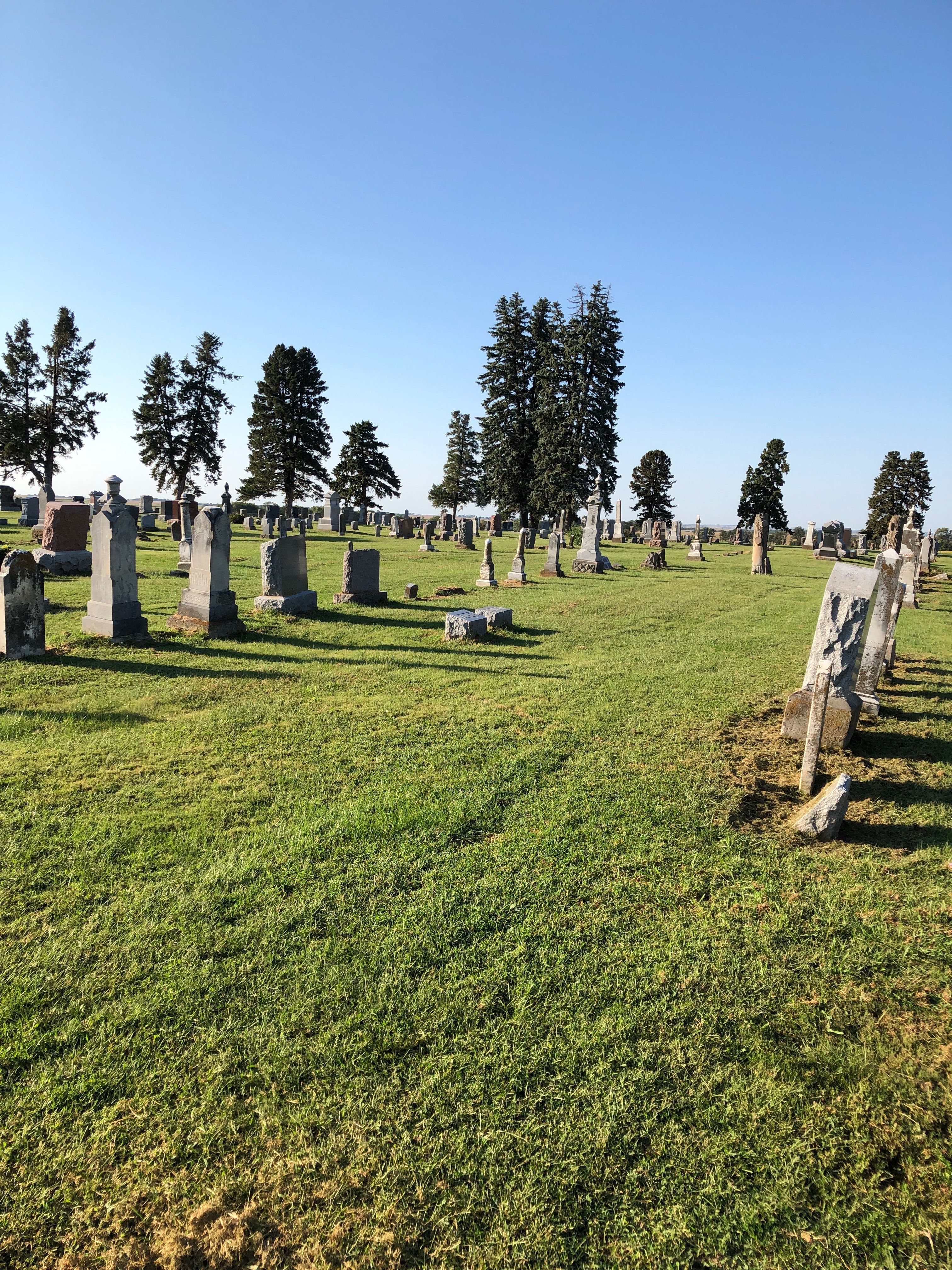
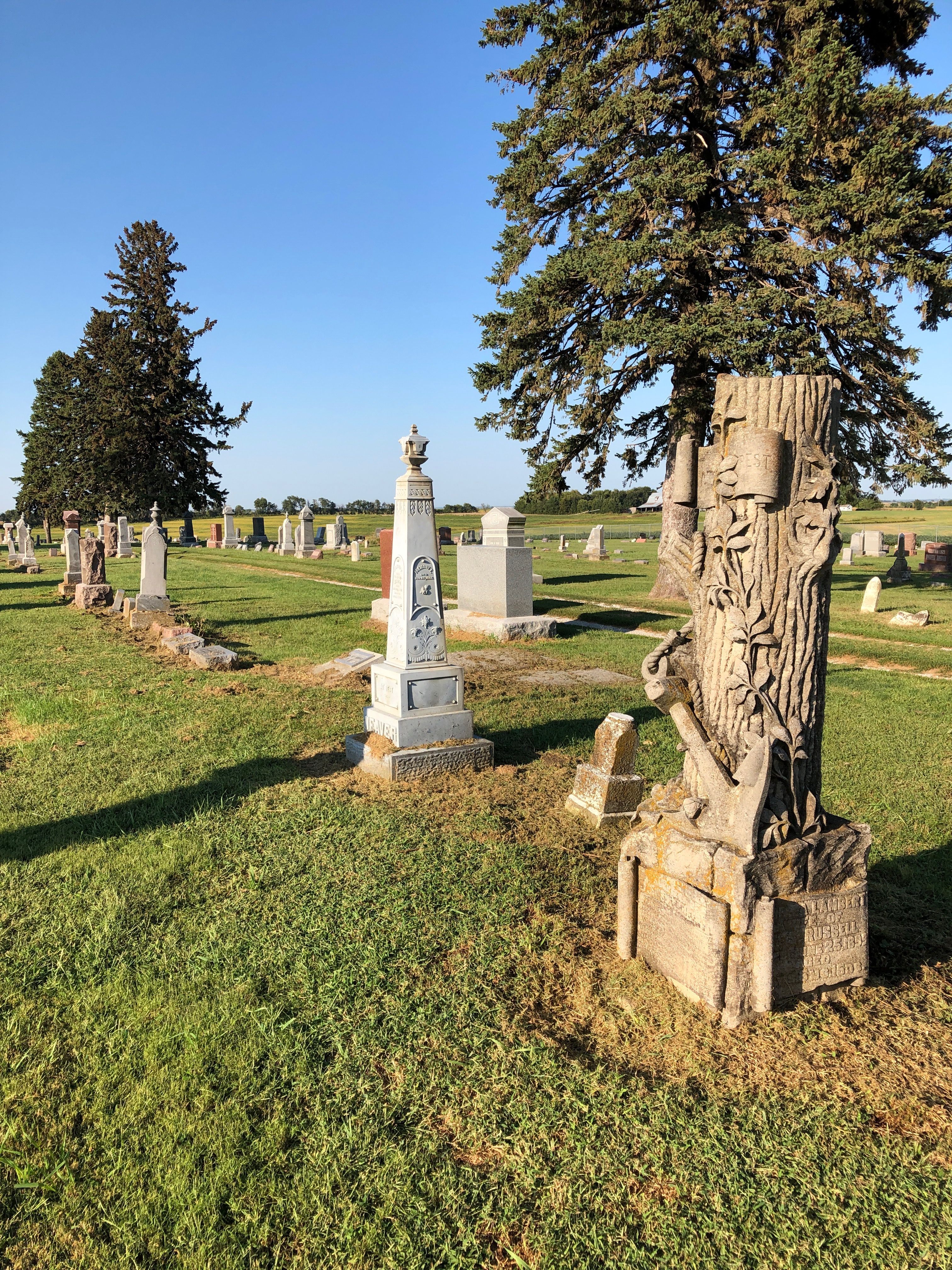
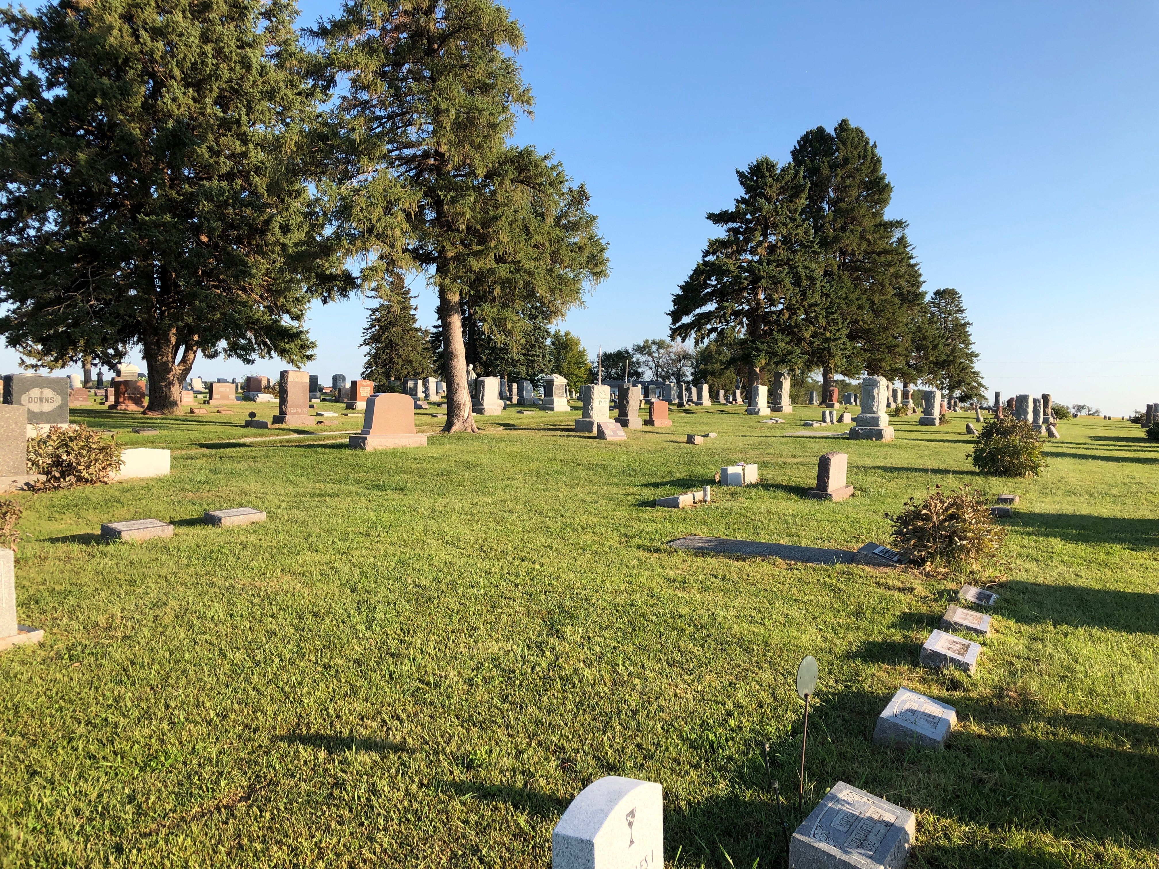
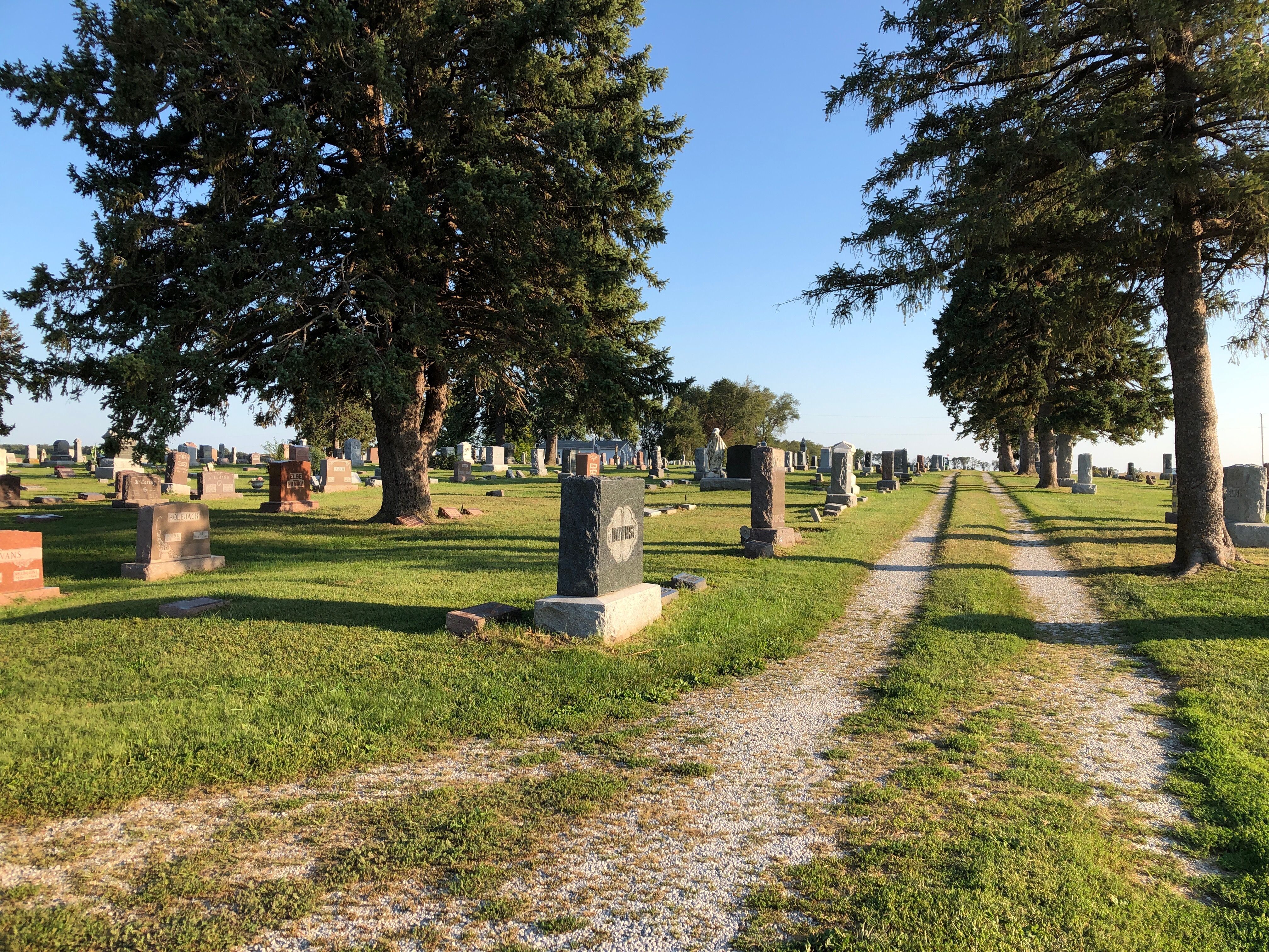
| Description | : | The Prairie Union Cemetery, located 2-1/2 miles northwest of Shubert in East Muddy Township, section 3, is one of the oldest cemeteries in Nebraska. The first burial is believed to be that of a Miss Parch, sister-in-law of Joseph Main, in spring of 1861. Main later donated an acre of land to be used as a cemetery for the general public. In 1867 John W. Davis, whose property was adjacent, gave an acre and a half to the Prairie Union Church and in this way the cemetery became associated with the church and shared its name. The Prairie Union cemetery... Read More |
frequently asked questions (FAQ):
-
Where is Prairie Union Cemetery?
Prairie Union Cemetery is located at Shubert, Richardson County ,Nebraska ,USA.
-
Prairie Union Cemetery cemetery's updated grave count on graveviews.com?
229 memorials
-
Where are the coordinates of the Prairie Union Cemetery?
Latitude: 40.2475800
Longitude: -95.7150200

Nearby Cemetories:
1. Penniwell Cemetery
Shubert, Richardson County, USA
Coordinate: 40.2619000, -95.6994500
2. Stella Cemetery
Stella, Richardson County, USA
Coordinate: 40.2268982, -95.7671967
3. Cupola Cemetery
Verdon, Richardson County, USA
Coordinate: 40.1892014, -95.7086029
4. Saint Annes Catholic Cemetery
Shubert, Richardson County, USA
Coordinate: 40.2042500, -95.6549500
5. Brick Church Cemetery
Barada, Richardson County, USA
Coordinate: 40.2328000, -95.6155000
6. Berg Cemetery
Barada, Richardson County, USA
Coordinate: 40.2257996, -95.6168976
7. Huff Cemetery
Barada, Richardson County, USA
Coordinate: 40.2039000, -95.6248500
8. Liberty-Cornell Cemetery
Verdon, Richardson County, USA
Coordinate: 40.1603000, -95.7375000
9. Hillsdale Cemetery
Nemaha County, USA
Coordinate: 40.2882996, -95.6010971
10. Liberty Township Cemetery
Verdon, Richardson County, USA
Coordinate: 40.1597200, -95.7664100
11. Verdon Cemetery
Verdon, Richardson County, USA
Coordinate: 40.1450005, -95.6893997
12. Kite Cemetery
Nemaha County, USA
Coordinate: 40.3414001, -95.7842026
13. Nemaha Cemetery
Nemaha, Nemaha County, USA
Coordinate: 40.3469009, -95.6596985
14. Howell Cemetery
Nemaha County, USA
Coordinate: 40.3008003, -95.8405991
15. Bedford Cemetery
Howe, Nemaha County, USA
Coordinate: 40.3128014, -95.8308029
16. Saint Deroin Cemetery
Barada, Richardson County, USA
Coordinate: 40.2543983, -95.5682983
17. Harris Cemetery
Barada, Richardson County, USA
Coordinate: 40.2182999, -95.5730972
18. Saint Johns Catholic Cemetery
Barada, Richardson County, USA
Coordinate: 40.2189000, -95.5683000
19. Half-Breed Cemetery
Nemaha County, USA
Coordinate: 40.2664900, -95.5604900
20. Mound Cemetery
Humboldt, Richardson County, USA
Coordinate: 40.1960983, -95.8602982
21. Saint Pauls Evangelical Lutheran Cemetery
Falls City, Richardson County, USA
Coordinate: 40.1443800, -95.6150400
22. Maple Grove Cemetery
Verdon, Richardson County, USA
Coordinate: 40.1307983, -95.6410980
23. Saint Marks Lutheran Cemetery
Verdon, Richardson County, USA
Coordinate: 40.1160100, -95.6864900
24. Holy Cross Cemetery
Nemaha County, USA
Coordinate: 40.3417015, -95.8405991