
| Memorials | : | 5 |
| Location | : | Barada, Richardson County, USA |
| Coordinate | : | 40.2189000, -95.5683000 |
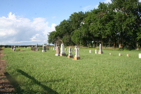
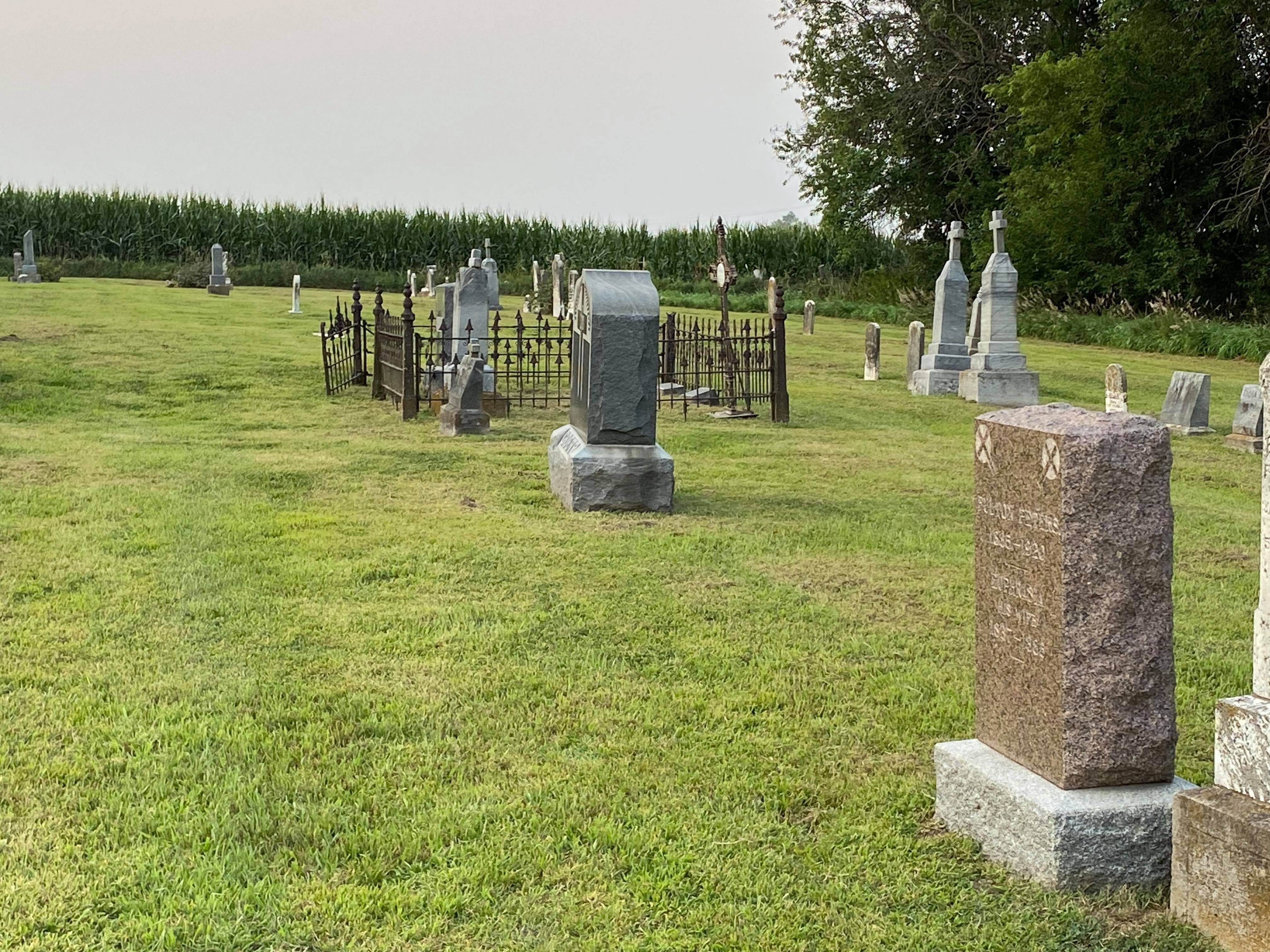
| Description | : | St. John's Catholic Cemetery is located across the road and east of the Harris Cemetery at Barada in Barada Township, Section 13 west. It was affiliated with St. John's Catholic Church until the parish merged with St. Anne's at Shubert. Originally 2 acres of land for the church and cemetery were sold in 1867 by August and Johanna Bucholz to Antoine Barada, founder of the town of Barada. Mr. Barada and his wife Josephine, are both buried here. |
frequently asked questions (FAQ):
-
Where is Saint Johns Catholic Cemetery?
Saint Johns Catholic Cemetery is located at across the road and east of the Harris Cemetery Barada, Richardson County ,Nebraska ,USA.
-
Saint Johns Catholic Cemetery cemetery's updated grave count on graveviews.com?
5 memorials
-
Where are the coordinates of the Saint Johns Catholic Cemetery?
Latitude: 40.2189000
Longitude: -95.5683000
Nearby Cemetories:
1. Harris Cemetery
Barada, Richardson County, USA
Coordinate: 40.2182999, -95.5730972
2. Saint Deroin Cemetery
Barada, Richardson County, USA
Coordinate: 40.2543983, -95.5682983
3. Berg Cemetery
Barada, Richardson County, USA
Coordinate: 40.2257996, -95.6168976
4. Brick Church Cemetery
Barada, Richardson County, USA
Coordinate: 40.2328000, -95.6155000
5. Huff Cemetery
Barada, Richardson County, USA
Coordinate: 40.2039000, -95.6248500
6. Saint Peters Evangelical Lutheran Church Cemetery
Richardson County, USA
Coordinate: 40.1752014, -95.5491257
7. Half-Breed Cemetery
Nemaha County, USA
Coordinate: 40.2664900, -95.5604900
8. Saint Annes Catholic Cemetery
Shubert, Richardson County, USA
Coordinate: 40.2042500, -95.6549500
9. Fricke Cemetery
Richardson County, USA
Coordinate: 40.1516991, -95.5391998
10. Hillsdale Cemetery
Nemaha County, USA
Coordinate: 40.2882996, -95.6010971
11. Saint Pauls Evangelical Lutheran Cemetery
Falls City, Richardson County, USA
Coordinate: 40.1443800, -95.6150400
12. Saint Johns Cemetery
Richardson County, USA
Coordinate: 40.1375008, -95.5188980
13. Anderson Cemetery
Barada, Richardson County, USA
Coordinate: 40.1612200, -95.4771200
14. Arago Cemetery
Richardson County, USA
Coordinate: 40.1519012, -95.4728012
15. Mount Hope Cemetery
Atchison County, USA
Coordinate: 40.2696991, -95.4503021
16. Maple Grove Cemetery
Verdon, Richardson County, USA
Coordinate: 40.1307983, -95.6410980
17. Silver Creek Cemetery
Richardson County, USA
Coordinate: 40.1157990, -95.5969009
18. Penniwell Cemetery
Shubert, Richardson County, USA
Coordinate: 40.2619000, -95.6994500
19. Cupola Cemetery
Verdon, Richardson County, USA
Coordinate: 40.1892014, -95.7086029
20. Prairie Union Cemetery
Shubert, Richardson County, USA
Coordinate: 40.2475800, -95.7150200
21. Verdon Cemetery
Verdon, Richardson County, USA
Coordinate: 40.1450005, -95.6893997
22. Archer Cemetery
Falls City, Richardson County, USA
Coordinate: 40.0950200, -95.5736900
23. Milton Cemetery
Atchison County, USA
Coordinate: 40.2811200, -95.4174400
24. Zion Cemetery
Falls City, Richardson County, USA
Coordinate: 40.1001300, -95.4900500