
| Memorials | : | 90 |
| Location | : | Kingwood, Hunterdon County, USA |
| Coordinate | : | 40.4508800, -75.0097800 |
frequently asked questions (FAQ):
-
Where is Methodist Episcopal Church Cemetery?
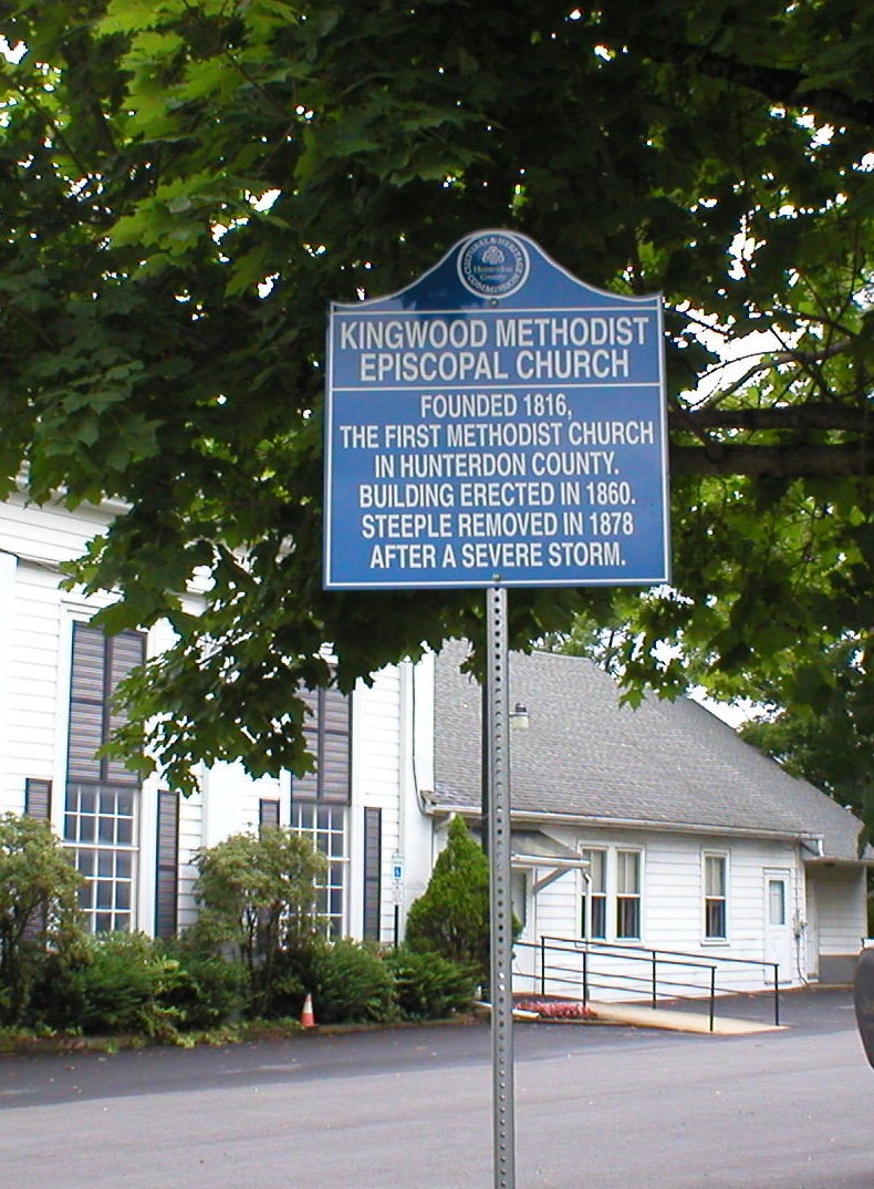
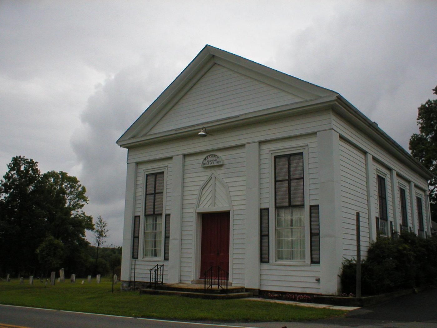
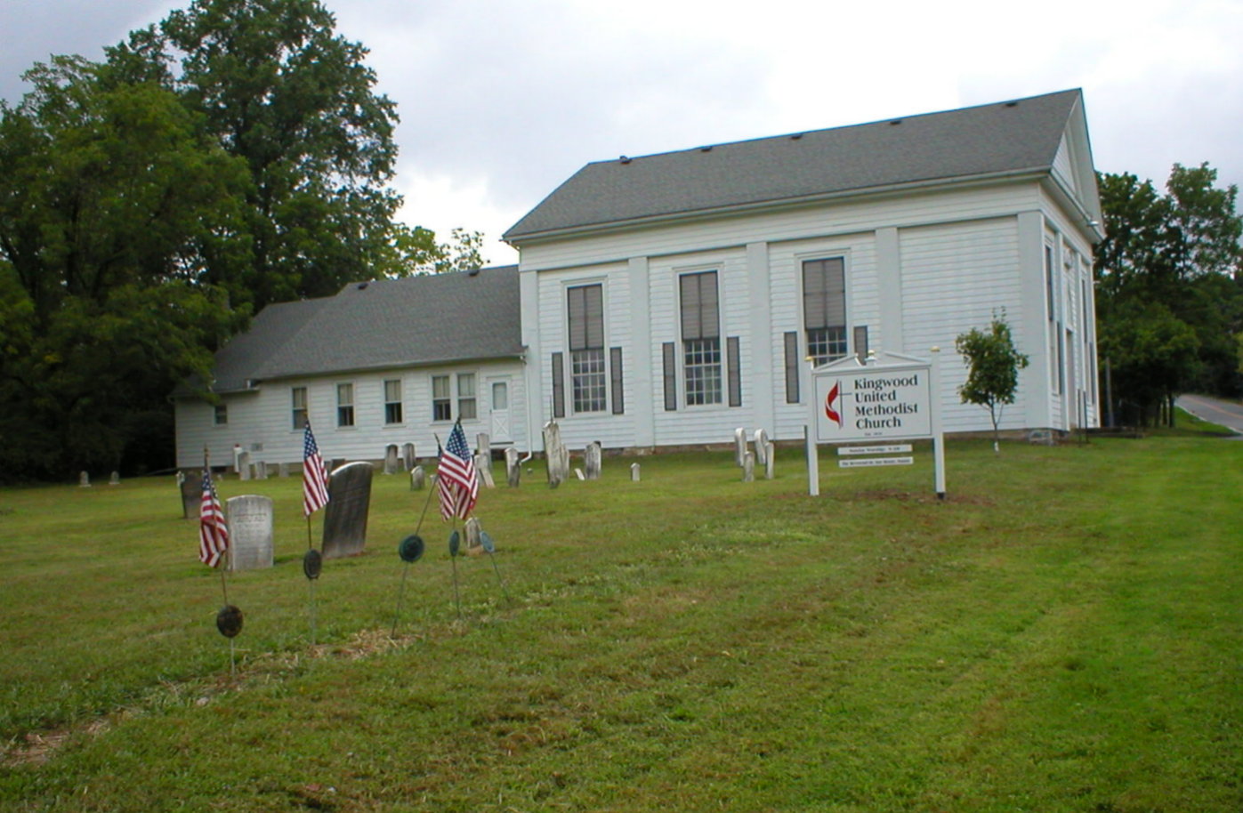
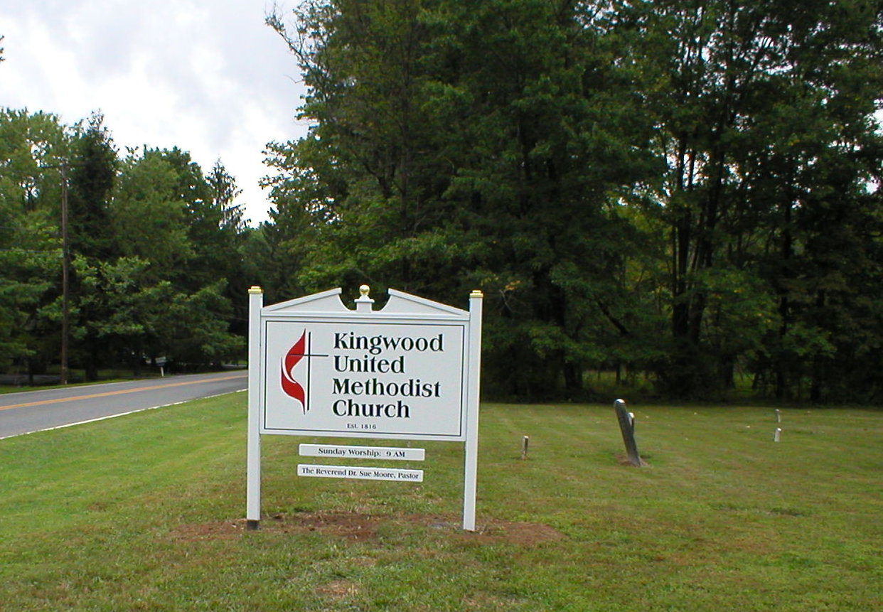
Methodist Episcopal Church Cemetery is located at 257 County Road 519 Kingwood, Hunterdon County ,New Jersey , 08559USA.
-
Methodist Episcopal Church Cemetery cemetery's updated grave count on graveviews.com?
90 memorials
-
Where are the coordinates of the Methodist Episcopal Church Cemetery?
Latitude: 40.4508800
Longitude: -75.0097800
Nearby Cemetories:
1. Williamson Farm Family Cemetery
Stockton, Hunterdon County, USA
Coordinate: 40.4457220, -74.9818690
2. Wescott Preserve
Stockton, Hunterdon County, USA
Coordinate: 40.4265306, -75.0158498
3. Rosemont Cemetery
Rosemont, Hunterdon County, USA
Coordinate: 40.4290009, -74.9902802
4. Reading-Johnson Cemetery
Raven Rock, Hunterdon County, USA
Coordinate: 40.4191670, -75.0052780
5. Pine Hill Cemetery
Sergeantsville, Hunterdon County, USA
Coordinate: 40.4580498, -74.9622192
6. Sergeantville Methodist Episcopal Church Cemetery
Sergeantsville, Hunterdon County, USA
Coordinate: 40.4458333, -74.9538880
7. Locktown Christian Cemetery
Locktown, Hunterdon County, USA
Coordinate: 40.4820137, -74.9694443
8. Old School Baptist Cemetery
Locktown, Hunterdon County, USA
Coordinate: 40.4844290, -74.9725060
9. Prallsville Cemetery
Hunterdon County, USA
Coordinate: 40.4090300, -74.9827760
10. Sandy Ridge Cemetery
Sandy Ridge, Hunterdon County, USA
Coordinate: 40.4232178, -74.9541168
11. Point Pleasant Baptist Church Cemetery
Point Pleasant, Bucks County, USA
Coordinate: 40.4282100, -75.0701500
12. Slacktown Cemetery
Kingwood, Hunterdon County, USA
Coordinate: 40.5102778, -74.9797222
13. Opdycke Cemetery
Hunterdon County, USA
Coordinate: 40.4375000, -74.9250000
14. Trinity Episcopal Cemetery
Solebury, Bucks County, USA
Coordinate: 40.3820460, -75.0104710
15. Barber Burying Ground
Sandy Ridge, Hunterdon County, USA
Coordinate: 40.4190292, -74.9282608
16. Rake Family Burying Ground
Sand Brook, Hunterdon County, USA
Coordinate: 40.4598999, -74.9170914
17. Marshall-Cooper-Ridge Cemetery
Tinicum, Bucks County, USA
Coordinate: 40.4890160, -75.0906330
18. Lower Tinicum Union Cemetery
Tinicum, Bucks County, USA
Coordinate: 40.4531000, -75.1050000
19. Baptistown Cemetery
Baptistown, Hunterdon County, USA
Coordinate: 40.5240100, -75.0061190
20. Lower Amwell Cemetery - Old Yard
Sergeantsville, Hunterdon County, USA
Coordinate: 40.4479866, -74.9134750
21. Sand Brook German Baptist Church Cemetery
Sand Brook, Hunterdon County, USA
Coordinate: 40.4687500, -74.9162216
22. Lower Amwell Cemetery - New Yard
Sergeantsville, Hunterdon County, USA
Coordinate: 40.4475098, -74.9133453
23. Carversville Cemetery
Carversville, Bucks County, USA
Coordinate: 40.3857918, -75.0585785
24. Hillpot Cemetery
Tinicum, Bucks County, USA
Coordinate: 40.4561005, -75.1082993