
| Memorials | : | 0 |
| Location | : | Monticello, Drew County, USA |
| Coordinate | : | 33.6088080, -91.7485850 |
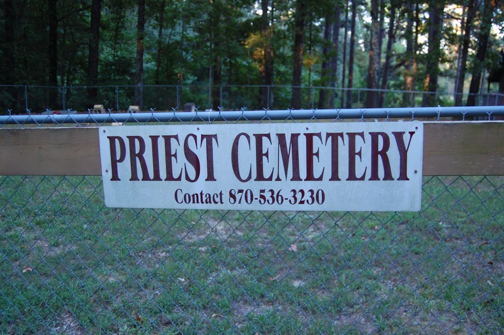
| Description | : | Priest Cemetery is located at approximately 408 Old Dermott Rd, off of Highway 35 East and is fenced and located on private property. Some headstones have been vandalized and concrete and/or paint now obscures several of them. This is the cemetery of the John Priest family. John relocated to Drew County from Sampson Co, NC around 1850. His grandson, Ben Priest followed him sometime between 1860 and 1870 |
frequently asked questions (FAQ):
-
Where is Priest Cemetery?
Priest Cemetery is located at Monticello, Drew County ,Arkansas ,USA.
-
Priest Cemetery cemetery's updated grave count on graveviews.com?
0 memorials
-
Where are the coordinates of the Priest Cemetery?
Latitude: 33.6088080
Longitude: -91.7485850
Nearby Cemetories:
1. Veasey Cemetery
Drew County, USA
Coordinate: 33.6088220, -91.7485680
2. Rough and Ready Cemetery
Monticello, Drew County, USA
Coordinate: 33.6082993, -91.7891998
3. Kennedy Boulevard Cemetery
Monticello, Drew County, USA
Coordinate: 33.6395700, -91.7756200
4. Shady Grove AME Cemetery
Cominto, Drew County, USA
Coordinate: 33.6460991, -91.7316971
5. Union Ridge Cemetery #2
Monticello, Drew County, USA
Coordinate: 33.5786500, -91.7823300
6. Union Ridge Cemetery #1
Monticello, Drew County, USA
Coordinate: 33.5766100, -91.7817100
7. Zion Hill
Monticello, Drew County, USA
Coordinate: 33.6383080, -91.7027281
8. Oakland Cemetery
Monticello, Drew County, USA
Coordinate: 33.6342010, -91.7981033
9. Enon Cemetery
Enon, Drew County, USA
Coordinate: 33.5882988, -91.6789017
10. Manees Cemetery
Drew County, USA
Coordinate: 33.6333100, -91.8243100
11. Rose Hill Cemetery
Monticello, Drew County, USA
Coordinate: 33.6749992, -91.7827988
12. Rose Hill Cemetery
Meroney, Lincoln County, USA
Coordinate: 33.6753740, -91.7828590
13. Gaster Hill Cemetery
Drew County, USA
Coordinate: 33.6591988, -91.8110962
14. Baker Cemetery
Drew County, USA
Coordinate: 33.5318985, -91.7686005
15. Mount Zion African Methodist Episcopal Church Ceme
Monticello, Drew County, USA
Coordinate: 33.6892960, -91.7367250
16. Brooks Chapel Cemetery
Monticello, Drew County, USA
Coordinate: 33.5959080, -91.8479410
17. Moore Cemetery
Drew County, USA
Coordinate: 33.5280991, -91.7153015
18. Old Piney Cemetery
Drew County, USA
Coordinate: 33.6450590, -91.6466170
19. Wells Cemetery
Monticello, Drew County, USA
Coordinate: 33.6567980, -91.8438550
20. Rash Cemetery
Cominto, Drew County, USA
Coordinate: 33.5569000, -91.6369019
21. Gethsemane Cemetery
Monticello, Drew County, USA
Coordinate: 33.5487800, -91.6241300
22. Old Union Cemetery
Monticello, Drew County, USA
Coordinate: 33.7210999, -91.6967010
23. 16th Section Cemetery African American
Drew County, USA
Coordinate: 33.6567001, -91.6136017
24. Piney Grove Cemetery
New Hope, Drew County, USA
Coordinate: 33.5180200, -91.8618800