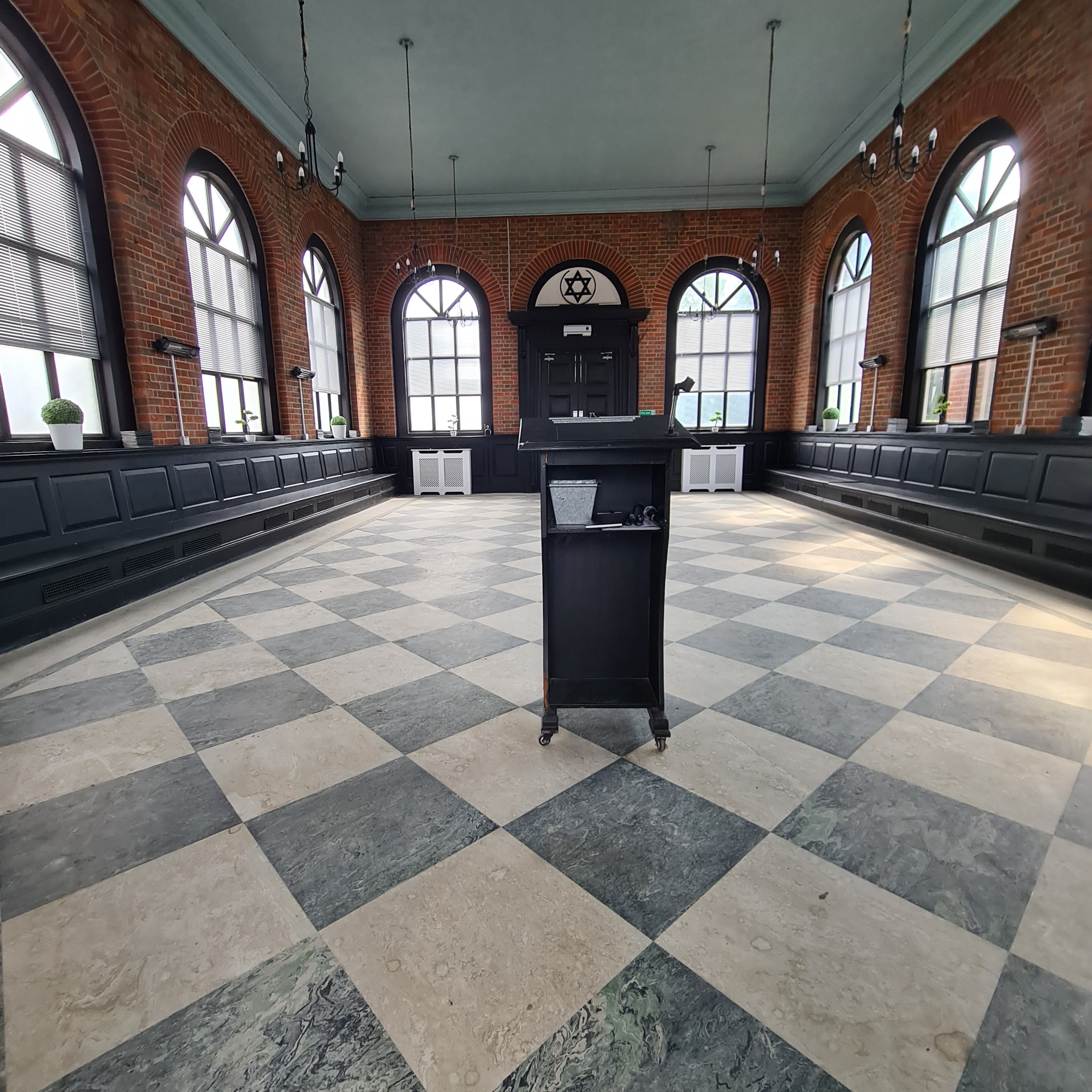
| Memorials | : | 9983 |
| Location | : | Rainham, London Borough of Havering, England |
| Phone | : | +44 (0) 1708 552825 |
| Website | : | www.jewishgen.org/jcr-uk/Cemeteries/Federation/Rainham/INDEX.HTM |
| Coordinate | : | 51.5226300, 0.2216150 |
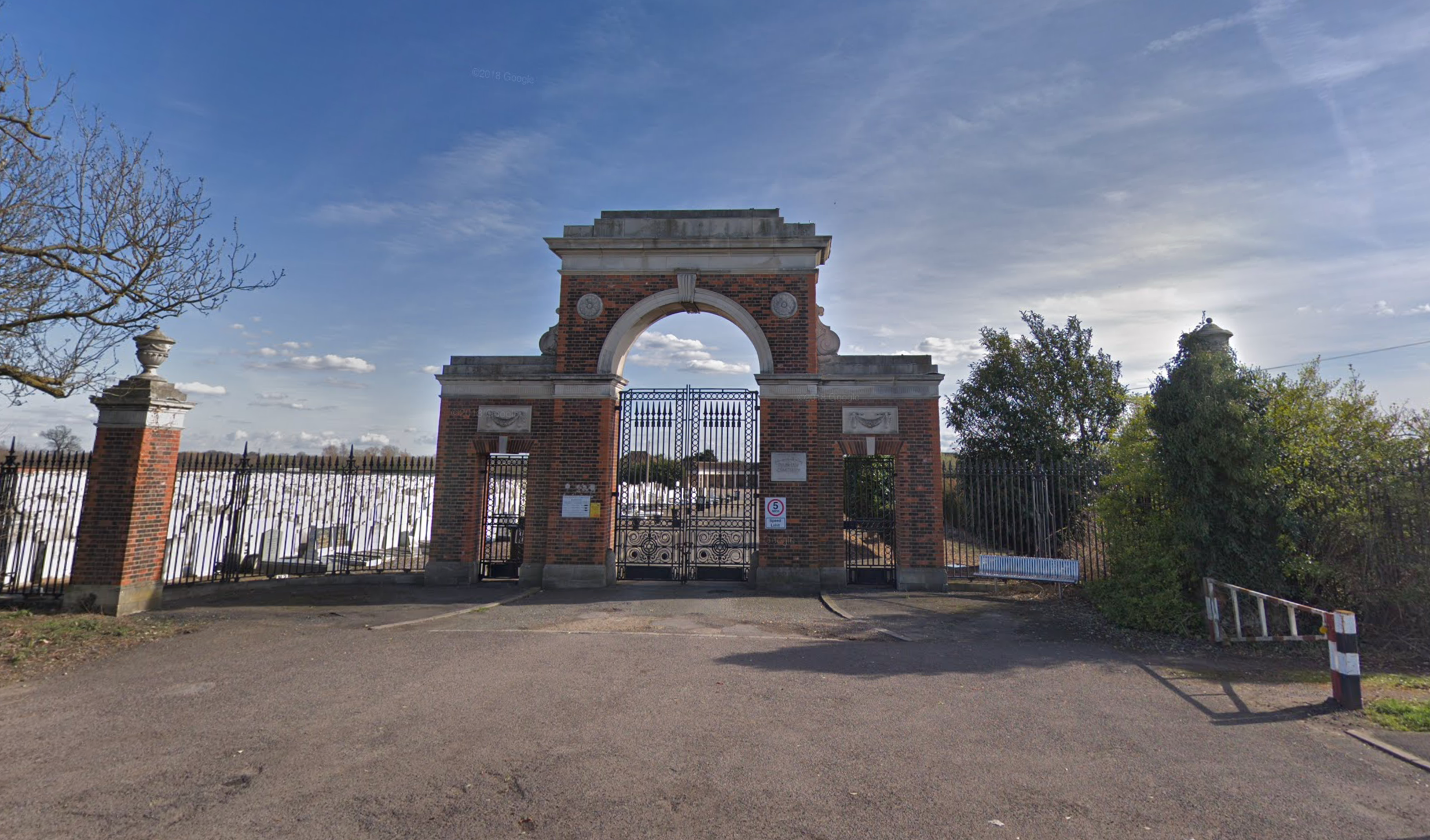
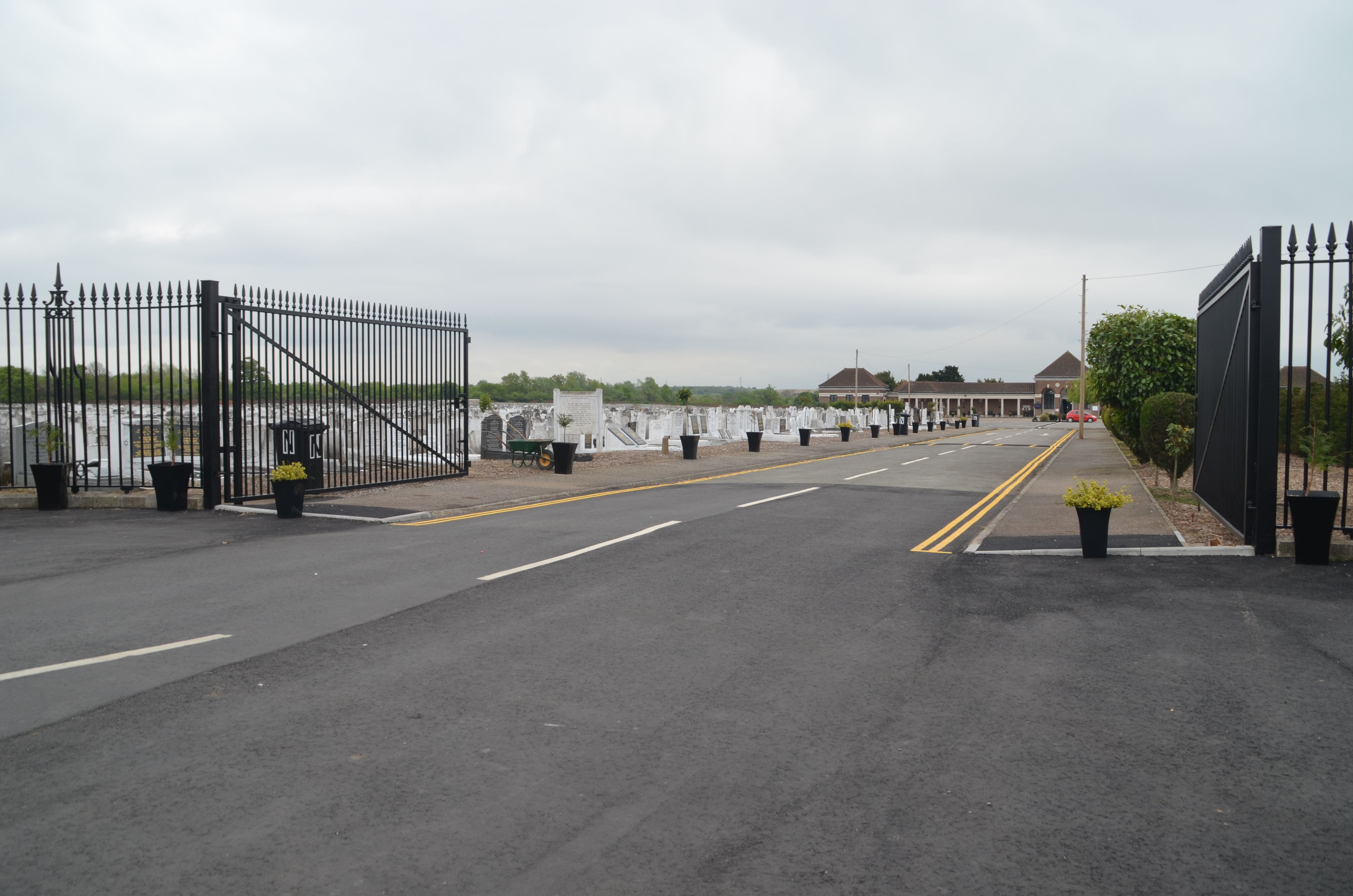
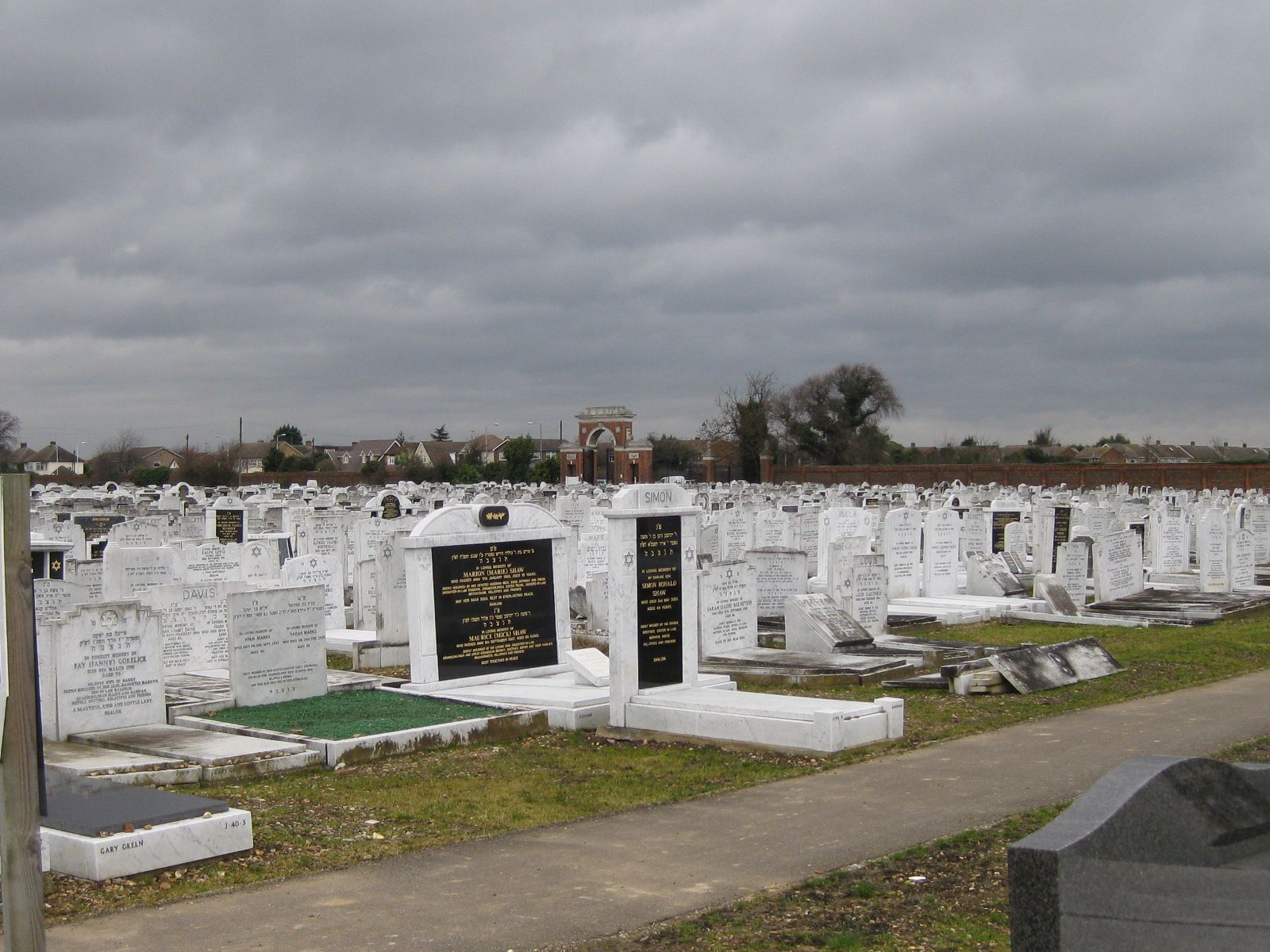
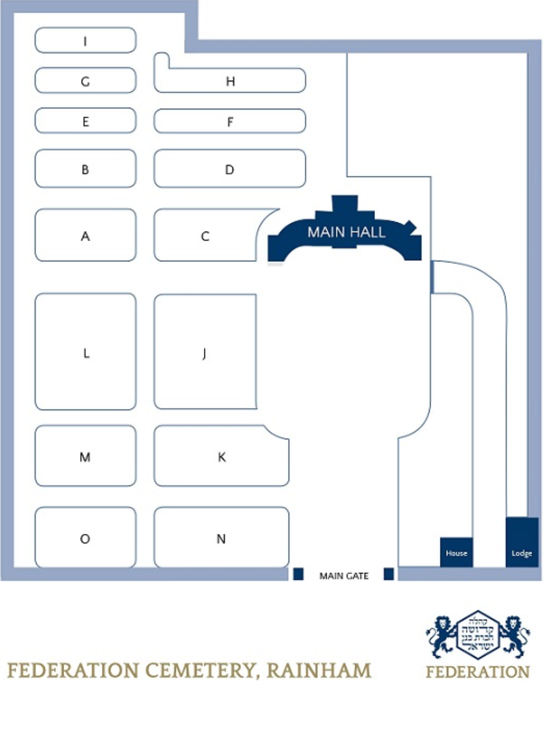
| Description | : | Rainham, Essex, was purchased in 1936 on 106 acres. It was consecrated in February 1938. The cemetery had a capacity for 45-50,000 graves and was at 60% of capacity in 2016 when they sold approximately 20 acres of the cemetery land. SUMMER OPENING HOURS: Open daily (except Shabbos/Saturday and Yom Tov/Jewish holidays) until 5pm, and during the month of Elul until 6pm. For the full list of opening times over the months of Elul and Tishrei WINTER OPENING HOURS: Daily (except Shabbos/Saturday and Yom Tov/Jewish holidays) from 9am – two hours before dusk. FRIDAYS... Read More |
frequently asked questions (FAQ):
-
Where is Rainham Jewish Cemetery?
Rainham Jewish Cemetery is located at 416 Upminster Road North Rainham, London Borough of Havering ,Greater London , RM13 9SBEngland.
-
Rainham Jewish Cemetery cemetery's updated grave count on graveviews.com?
9983 memorials
-
Where are the coordinates of the Rainham Jewish Cemetery?
Latitude: 51.5226300
Longitude: 0.2216150
Nearby Cemetories:
1. Rainham Cemetery
Rainham, London Borough of Havering, England
Coordinate: 51.5221490, 0.2099420
2. St Mary and St Peter Churchyard
Wennington, London Borough of Havering, England
Coordinate: 51.5064790, 0.2173980
3. St Helen and St Giles Churchyard
Rainham, London Borough of Havering, England
Coordinate: 51.5183040, 0.1905660
4. South Essex Crematorium
Upminster, London Borough of Havering, England
Coordinate: 51.5433380, 0.2583840
5. Upminster Cemetery
Corbets Tey, London Borough of Havering, England
Coordinate: 51.5433330, 0.2592730
6. St. Michael’s Churchyard
Aveley, Thurrock Unitary Authority, England
Coordinate: 51.4980160, 0.2568560
7. Hornchurch Cemetery
Hornchurch, London Borough of Havering, England
Coordinate: 51.5590370, 0.2264210
8. St Laurence Churchyard
Upminster, London Borough of Havering, England
Coordinate: 51.5557430, 0.2478680
9. St. Andrew's Churchyard
Hornchurch, London Borough of Havering, England
Coordinate: 51.5604880, 0.2260780
10. All Saints Churchyard
Cranham, London Borough of Havering, England
Coordinate: 51.5522750, 0.2660270
11. St. Peter and St. Paul Churchyard
Dagenham, London Borough of Barking and Dagenham, England
Coordinate: 51.5397240, 0.1620340
12. Eastbrookend Cemetery
Dagenham, London Borough of Barking and Dagenham, England
Coordinate: 51.5553150, 0.1820900
13. St. Mary Magdalene Churchyard
North Ockendon, London Borough of Havering, England
Coordinate: 51.5404030, 0.2875930
14. Cherry Orchard Congregational Church
South Ockendon, Thurrock Unitary Authority, England
Coordinate: 51.5241770, 0.2976050
15. St. Nicholas Churchyard
South Ockendon, Thurrock Unitary Authority, England
Coordinate: 51.5224830, 0.2976820
16. St John the Baptist Churchyard
Erith, London Borough of Bexley, England
Coordinate: 51.4872437, 0.1698430
17. South Ockendon Cemetery
South Ockendon, Thurrock Unitary Authority, England
Coordinate: 51.5226000, 0.2988650
18. Christ Church
Erith, London Borough of Bexley, England
Coordinate: 51.4797860, 0.1764520
19. St. Andrew's Churchyard
Romford, London Borough of Havering, England
Coordinate: 51.5714570, 0.1837630
20. St Augustine's Churchyard
Slade Green, London Borough of Bexley, England
Coordinate: 51.4718340, 0.1888540
21. Romford Cemetery
Romford, London Borough of Havering, England
Coordinate: 51.5693810, 0.1746850
22. All Saints Churchyard
Belvedere, London Borough of Bexley, England
Coordinate: 51.4839249, 0.1479840
23. Erith Cemetery
Erith, London Borough of Bexley, England
Coordinate: 51.4794807, 0.1543100
24. Bermondsey Abbey
Bermondsey, London Borough of Southwark, England
Coordinate: 51.5072200, 0.1275000

