
| Memorials | : | 0 |
| Location | : | Forest County, USA |
| Coordinate | : | 41.4019000, -79.1538000 |
frequently asked questions (FAQ):
-
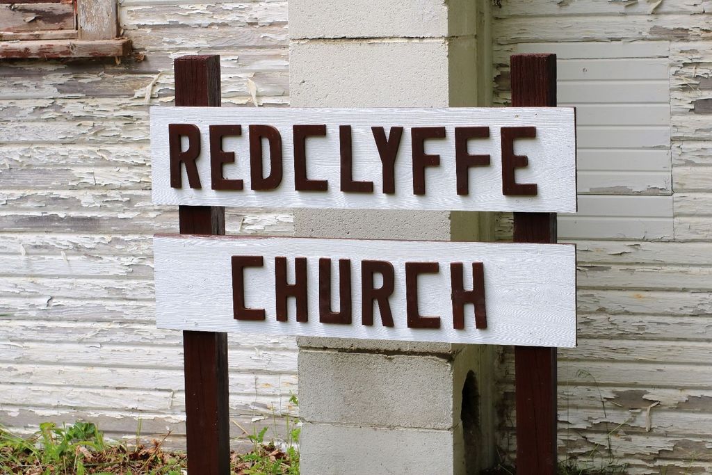
Where is Redclyffe Methodist Cemetery?
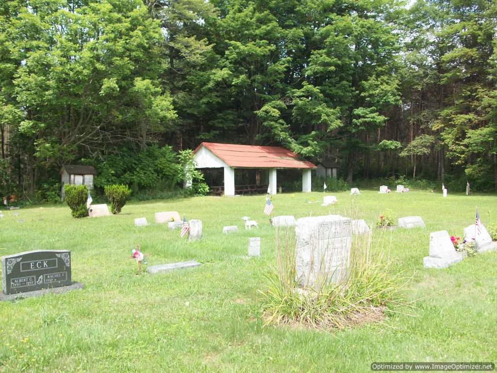
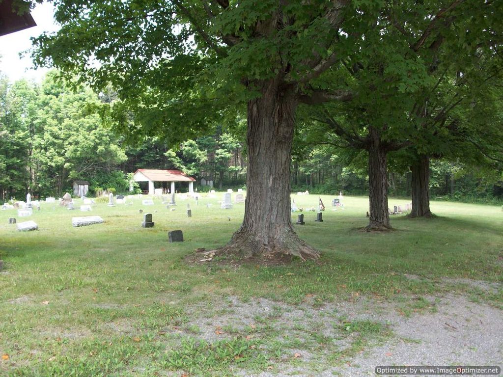
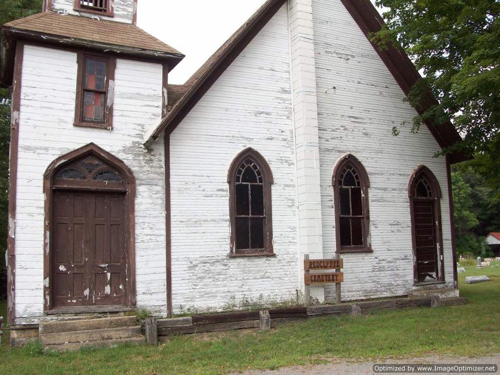
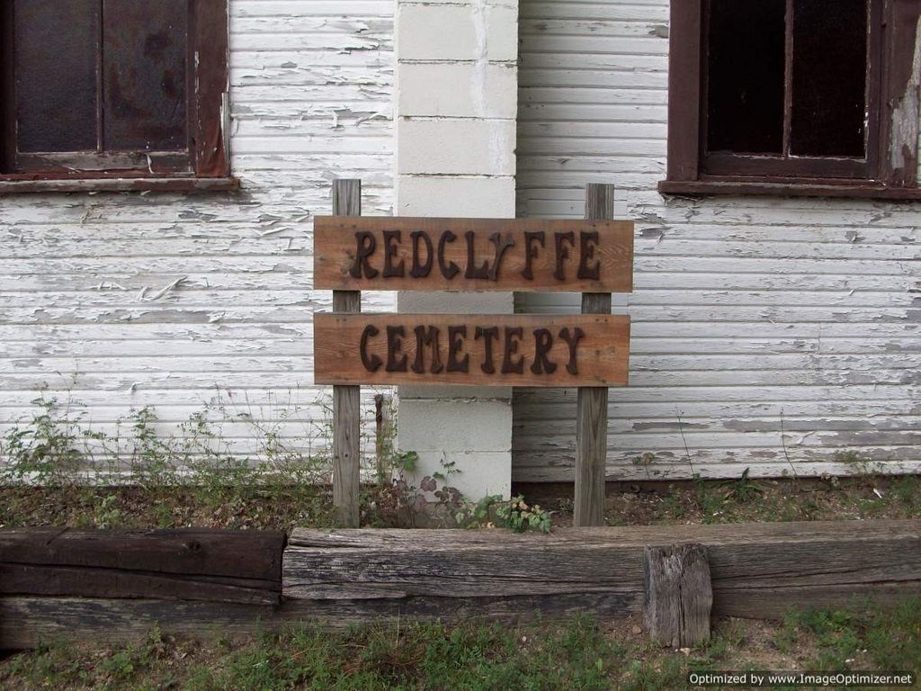
Redclyffe Methodist Cemetery is located at Forest County ,Pennsylvania ,USA.
-
Redclyffe Methodist Cemetery cemetery's updated grave count on graveviews.com?
0 memorials
-
Where are the coordinates of the Redclyffe Methodist Cemetery?
Latitude: 41.4019000
Longitude: -79.1538000
Nearby Cemetories:
1. Greenwood Cemetery
Forest County, USA
Coordinate: 41.3808000, -79.1904000
2. Gilfoyle Methodist Church Cemetery
Gilfoyle, Forest County, USA
Coordinate: 41.4391230, -79.1819000
3. Roses Cemetery
Roses, Forest County, USA
Coordinate: 41.4547005, -79.1680984
4. Blue Ridge Cemetery
Forest County, USA
Coordinate: 41.3594017, -79.1025009
5. Maze Cemetery
Hottelville, Forest County, USA
Coordinate: 41.3470947, -79.1846251
6. Clarington Methodist Cemetery
Clarington, Forest County, USA
Coordinate: 41.3353000, -79.1197000
7. North Forest Cemetery
Marienville, Forest County, USA
Coordinate: 41.4741200, -79.1240100
8. Saint Anns Cemetery
Marienville, Forest County, USA
Coordinate: 41.4745100, -79.1249400
9. Saint Mary's Cemetery
Crown, Clarion County, USA
Coordinate: 41.3908000, -79.2564000
10. Cooksburg Cemetery
Forest County, USA
Coordinate: 41.3293991, -79.1980972
11. Haight - Wing Family Cemetery
Jefferson County, USA
Coordinate: 41.3184000, -79.1440000
12. Daniels Cemetery
Port Barnett, Jefferson County, USA
Coordinate: 41.3183817, -79.1300323
13. Hominy Ridge Cemetery
Sigel, Jefferson County, USA
Coordinate: 41.3128014, -79.1808014
14. Edeburn Hill Cemetery
Jefferson County, USA
Coordinate: 41.3369000, -79.0498000
15. Shotts-Hagen Cemetery
Tylersburg, Clarion County, USA
Coordinate: 41.3900846, -79.2962062
16. Guitenville Cemetery
Guitonville, Forest County, USA
Coordinate: 41.4757000, -79.2606000
17. Donahey Hill Cemetery
Belltown, Elk County, USA
Coordinate: 41.3745400, -79.0065100
18. Scotch Hill Union Cemetery
Scotch Hill, Clarion County, USA
Coordinate: 41.3240000, -79.2651000
19. Parrett Farm Cemetery
Millstone, Elk County, USA
Coordinate: 41.3937880, -78.9931740
20. Anderson Farm Cemetery
Leeper, Clarion County, USA
Coordinate: 41.3592530, -79.3047000
21. Allio Cemetery
Tylersburg, Clarion County, USA
Coordinate: 41.3920830, -79.3221500
22. Tylersburg Cemetery
Tylersburg, Clarion County, USA
Coordinate: 41.3824000, -79.3226000
23. Kahletown Cemetery
Kahletown, Jefferson County, USA
Coordinate: 41.2720000, -79.1588000
24. Donehey Cemetery
Sigel, Jefferson County, USA
Coordinate: 41.2744950, -79.1093610