
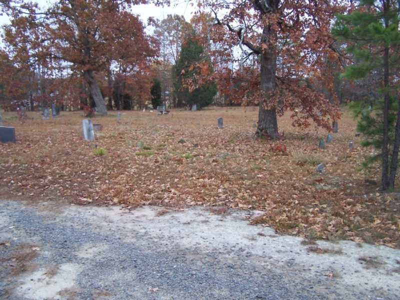
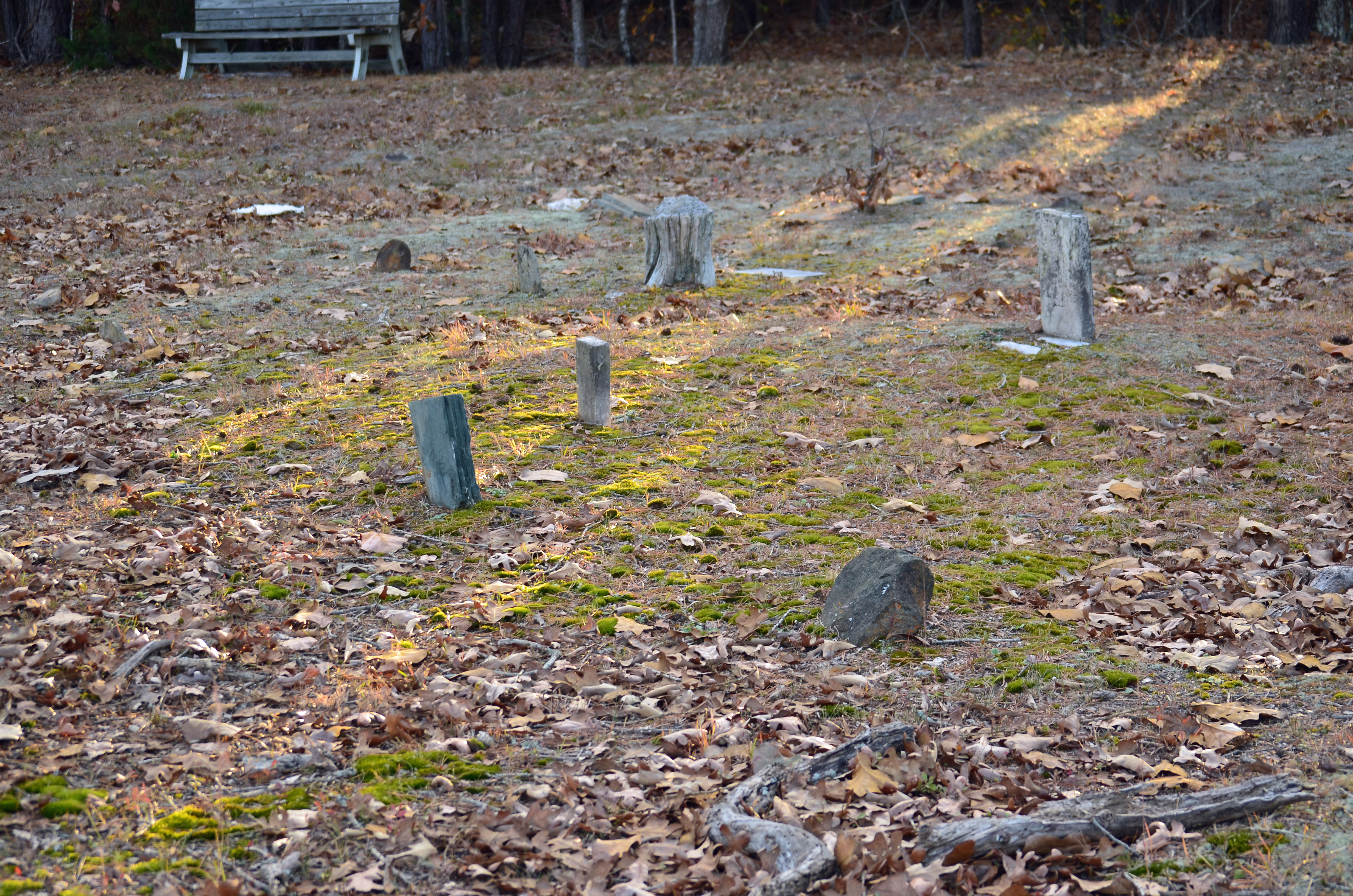
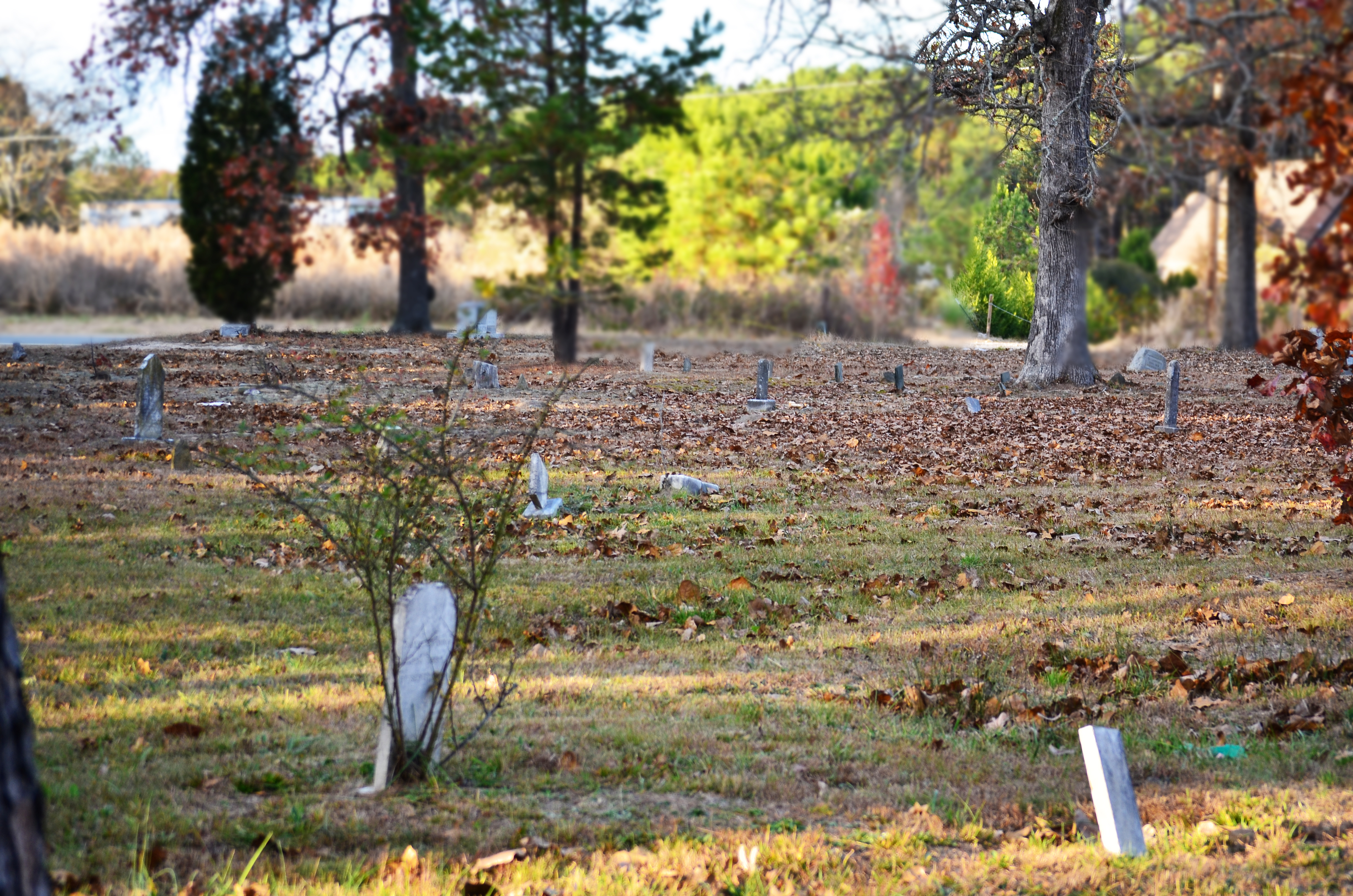
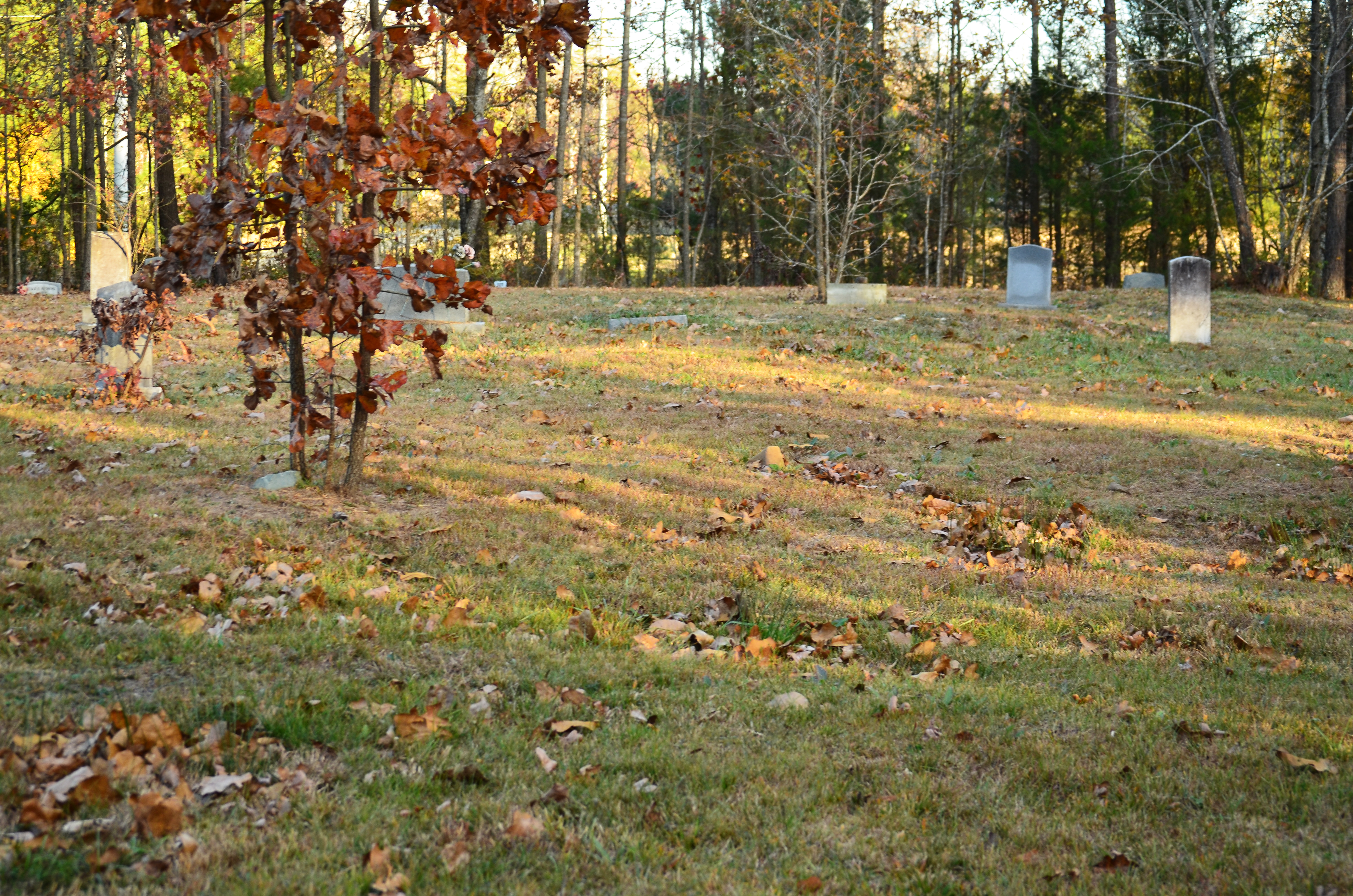
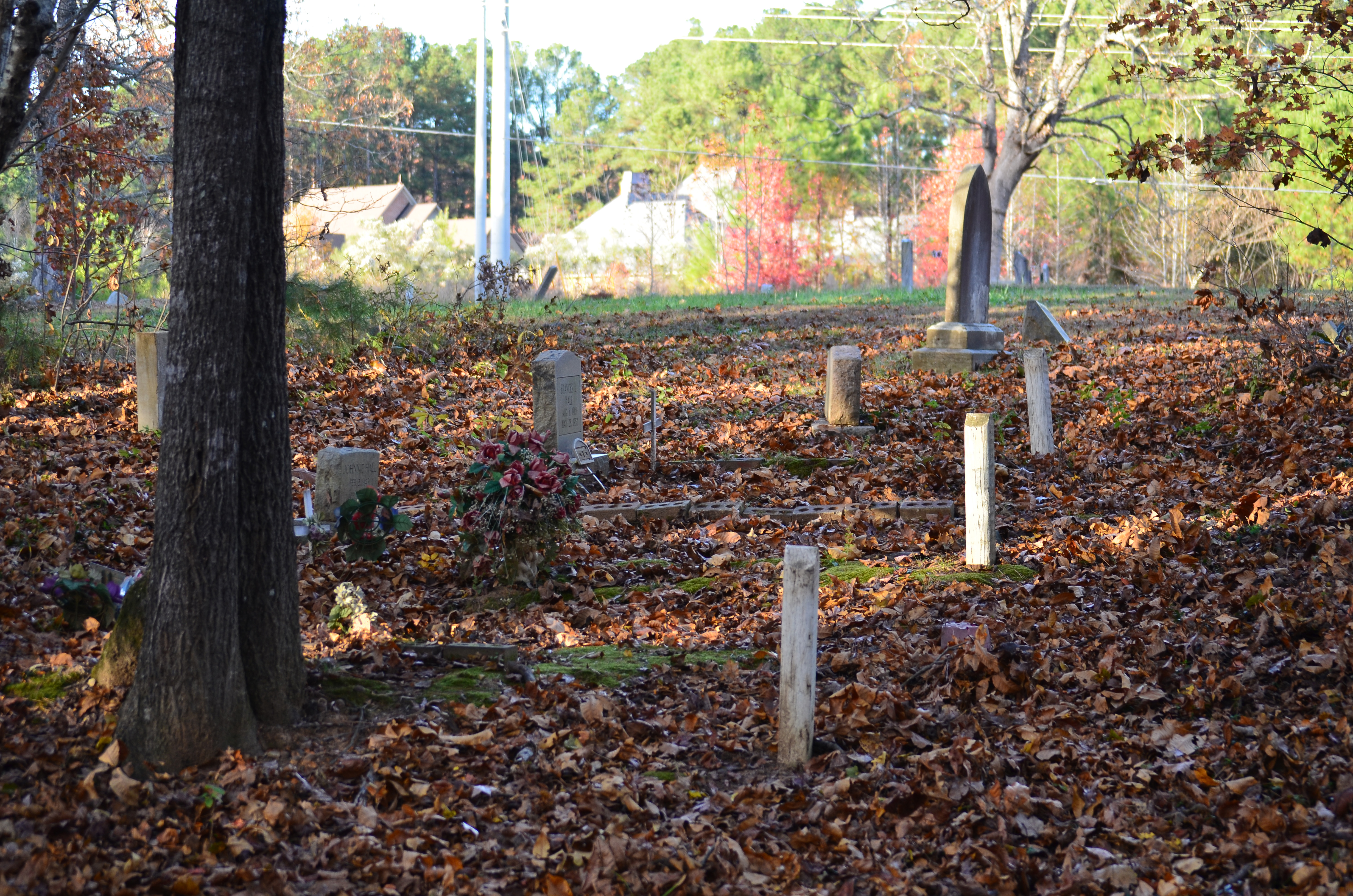
| Memorials | : | 127 |
| Location | : | Union County, USA |
| Coordinate | : | 34.9911919, -80.7594910 |
frequently asked questions (FAQ):
-
Where is Redding Springs AME Zion Church Cemetery?
Redding Springs AME Zion Church Cemetery is located at Union County ,North Carolina ,USA.
-
Redding Springs AME Zion Church Cemetery cemetery's updated grave count on graveviews.com?
127 memorials
-
Where are the coordinates of the Redding Springs AME Zion Church Cemetery?
Latitude: 34.9911919
Longitude: -80.7594910
Nearby Cemetories:
1. Bonds Grove United Methodist Church Cemetery
Waxhaw, Union County, USA
Coordinate: 34.9739609, -80.7715378
2. Saint Margarets Episcopal Church
Waxhaw, Union County, USA
Coordinate: 35.0104310, -80.7781500
3. Weddington United Methodist Church Cemetery
Weddington, Union County, USA
Coordinate: 35.0212288, -80.7618332
4. Union United Methodist Church Cemetery
Union County, USA
Coordinate: 34.9818192, -80.7215424
5. Old Union Methodist Church Cemetery
Union County, USA
Coordinate: 34.9676094, -80.7292023
6. Marvin AME Zion Church Cemetery
Waxhaw, Union County, USA
Coordinate: 34.9920000, -80.8040000
7. Marvin United Methodist Church Cemetery
Marvin, Union County, USA
Coordinate: 34.9928894, -80.8166580
8. Providence Baptist Church Cemetery
Waxhaw, Union County, USA
Coordinate: 34.9441200, -80.7547200
9. Banks Presbyterian Church Cemetery
Marvin, Union County, USA
Coordinate: 34.9930305, -80.8189697
10. Siler Cemetery
Wesley Chapel, Union County, USA
Coordinate: 34.9955711, -80.6994705
11. Price Chapel Baptist Church Cemetery
Waxhaw, Union County, USA
Coordinate: 34.9415283, -80.7617188
12. Liberty Hill Church Cemetery
Waxhaw, Union County, USA
Coordinate: 34.9895477, -80.6965332
13. Old Elbethel AME Zion Church Cemetery
Indian Land, Lancaster County, USA
Coordinate: 34.9631250, -80.8125350
14. Elbethel AME Zion Church Cemetery
Belair, Lancaster County, USA
Coordinate: 34.9626270, -80.8299860
15. Eastside Community Cemetery
Waxhaw, Union County, USA
Coordinate: 34.9281883, -80.7384415
16. Old Six Mile Cemetery
Indian Land, Lancaster County, USA
Coordinate: 34.9484250, -80.8220320
17. Forest Lawn East Cemetery
Weddington, Union County, USA
Coordinate: 35.0426331, -80.7051010
18. Antioch United Methodist Church Cemetery
Monroe, Union County, USA
Coordinate: 35.0526161, -80.7205582
19. Hudson Grove AME Zion Church Cemetery
Indian Trail, Union County, USA
Coordinate: 35.0270370, -80.6868740
20. Pleasant Grove United Methodist Church Cemetery
Union County, USA
Coordinate: 34.9538803, -80.6846008
21. Jonesville AME Zion Church Cemetery
Charlotte, Mecklenburg County, USA
Coordinate: 35.0618540, -80.7773370
22. Pleasant Valley Baptist Church Cemetery
Lancaster County, USA
Coordinate: 34.9931793, -80.8495407
23. Waxhaw City Cemetery
Waxhaw, Union County, USA
Coordinate: 34.9182816, -80.7384415
24. Our Lady of Grace Catholic Church Cemetery
Indian Land, Lancaster County, USA
Coordinate: 34.9191510, -80.7933580