| Memorials | : | 3 |
| Location | : | Millville, Clayton County, USA |
| Coordinate | : | 42.7166755, -91.0852901 |
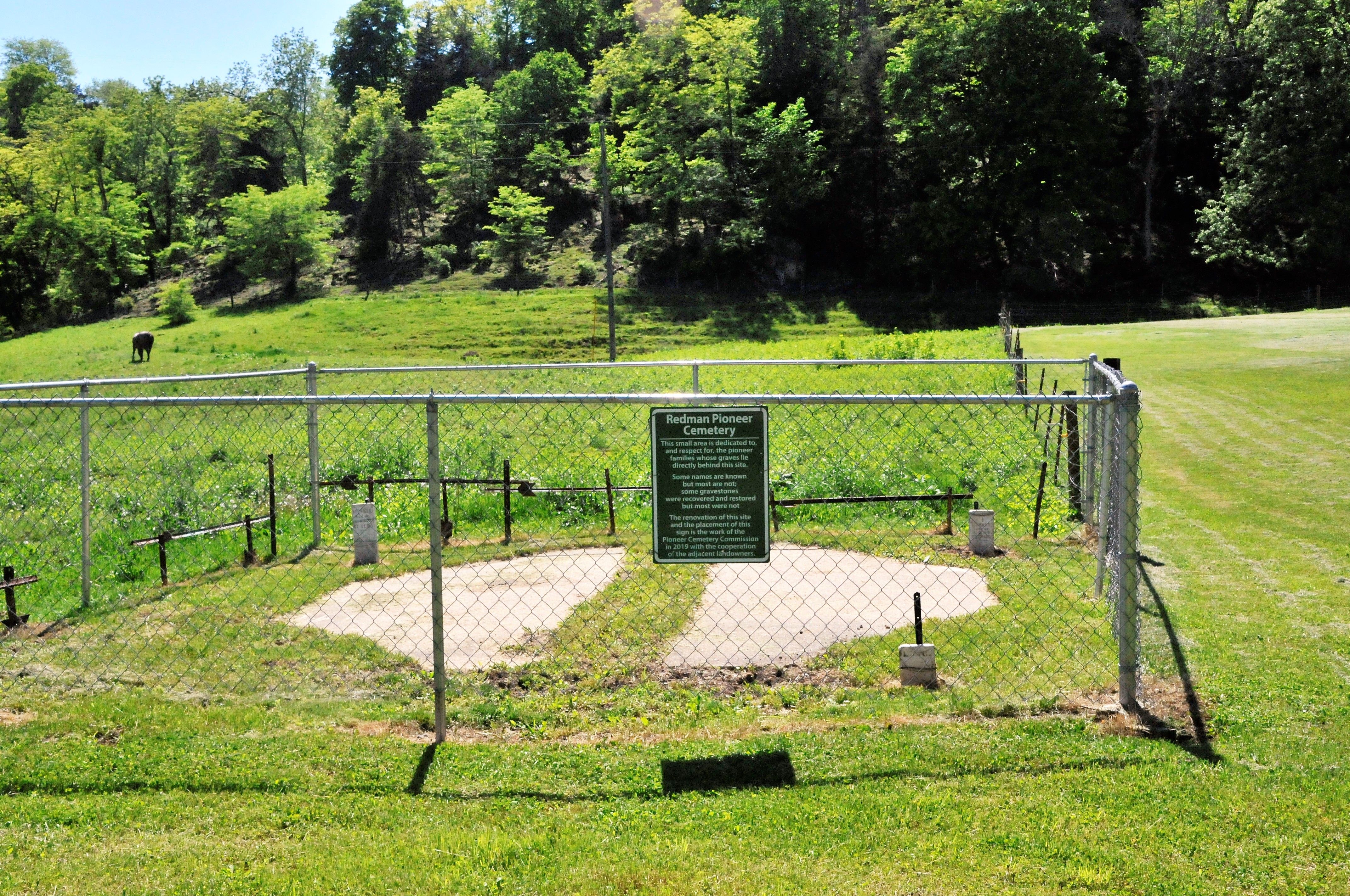
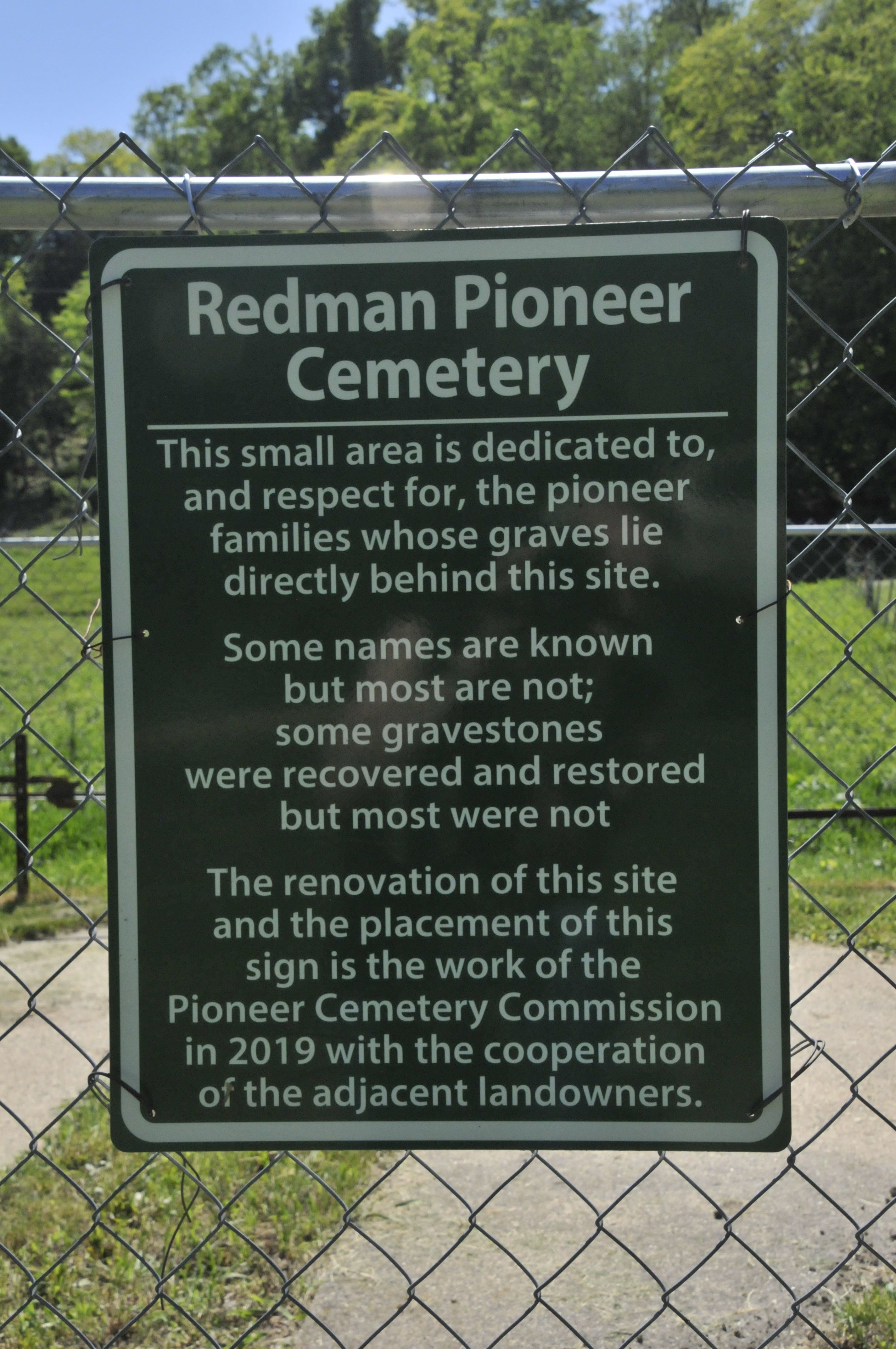
| Description | : | Named after the Redman Branch stream near which it was founded, the Redman Cemetery was moved to its present location by the Pioneer Cemetery Commission of Clayton County, Iowa. Redman Branch was eroding and some stones were already lost before the commission rescued the remaining stones. Through cooperation with the land owner the stones were placed in this more secure location and enclosed with a fence. Henry Redman, after whom Redman Branch creek was named, was an early pioneer of Clayton County living in the vicinity of Millville. I have related here an interesting description of the man. "This stream... Read More |
frequently asked questions (FAQ):
-
Where is Redman Cemetery?
Redman Cemetery is located at Noble Road Millville, Clayton County ,Iowa , 52035USA.
-
Redman Cemetery cemetery's updated grave count on graveviews.com?
3 memorials
-
Where are the coordinates of the Redman Cemetery?
Latitude: 42.7166755
Longitude: -91.0852901
Nearby Cemetories:
1. Bierer Cemetery
Millville, Clayton County, USA
Coordinate: 42.7230500, -91.0925166
2. Friedlein Cemetery
Millville, Clayton County, USA
Coordinate: 42.7080994, -91.1108017
3. Goshen Cemetery
Millville, Clayton County, USA
Coordinate: 42.6905594, -91.0544434
4. Saint Johns Cemetery
Jefferson Township, Clayton County, USA
Coordinate: 42.7497000, -91.1133000
5. Graham Cemetery
Millville, Clayton County, USA
Coordinate: 42.6833172, -91.1195685
6. Guttenberg Cemetery
Guttenberg, Clayton County, USA
Coordinate: 42.7691994, -91.1035995
7. Bolsinger Cemetery
Mallory Township, Clayton County, USA
Coordinate: 42.6776340, -91.1424090
8. Mount Olivet Cemetery
Guttenberg, Clayton County, USA
Coordinate: 42.7764840, -91.1083560
9. Bethel Cemetery
Osterdock, Clayton County, USA
Coordinate: 42.7041702, -91.1688919
10. Saint Marys Cemetery
Guttenberg, Clayton County, USA
Coordinate: 42.7691994, -91.1352997
11. Myer Cemetery
Luxemburg, Dubuque County, USA
Coordinate: 42.6455760, -91.0762740
12. Lewis Cemetery
Osterdock, Clayton County, USA
Coordinate: 42.7416000, -91.1834000
13. Noggle Cemetery
Clayton County, USA
Coordinate: 42.6666580, -91.1654100
14. Saint Charles Catholic Church Cemetery
Cassville, Grant County, USA
Coordinate: 42.7144000, -90.9764000
15. Charlotte Cemetery
Glen Haven, Grant County, USA
Coordinate: 42.7933006, -91.0381012
16. Cassville Cemetery
Cassville, Grant County, USA
Coordinate: 42.7324982, -90.9713974
17. Storck Cemetery
Guttenberg, Clayton County, USA
Coordinate: 42.7694335, -91.1834638
18. Ramsey Cemetery
North Andover, Grant County, USA
Coordinate: 42.7817001, -90.9972000
19. Old Saint Marys Cemetery
Glen Haven, Grant County, USA
Coordinate: 42.8078100, -91.0675330
20. Saint Paula Cemetery
Osterdock, Clayton County, USA
Coordinate: 42.7635994, -91.1992035
21. Saint Marys Settlement Cemetery
Cassville, Grant County, USA
Coordinate: 42.7538986, -90.9627991
22. Immaculate Conception Cemetery
North Buena Vista, Clayton County, USA
Coordinate: 42.6824989, -90.9563904
23. Brown Cemetery
Mallory Township, Clayton County, USA
Coordinate: 42.6530991, -91.2005997
24. Borcherding Cemetery
Jefferson Township, Clayton County, USA
Coordinate: 42.8182983, -91.1414032


