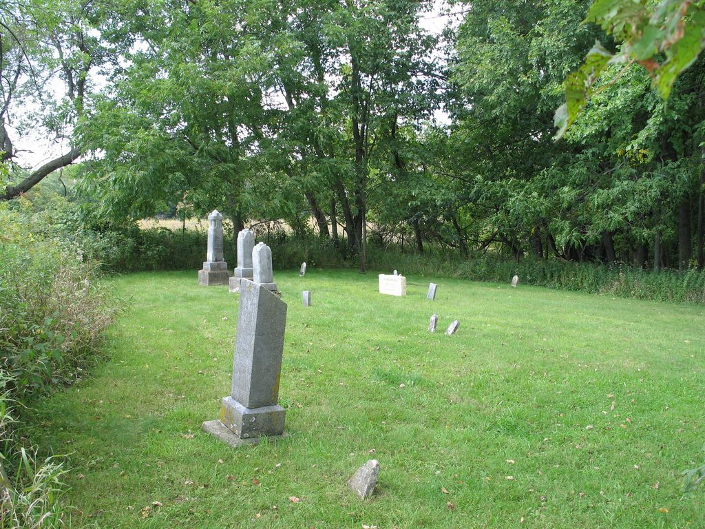
| Memorials | : | 1 |
| Location | : | Glen Haven, Grant County, USA |
| Coordinate | : | 42.8078100, -91.0675330 |
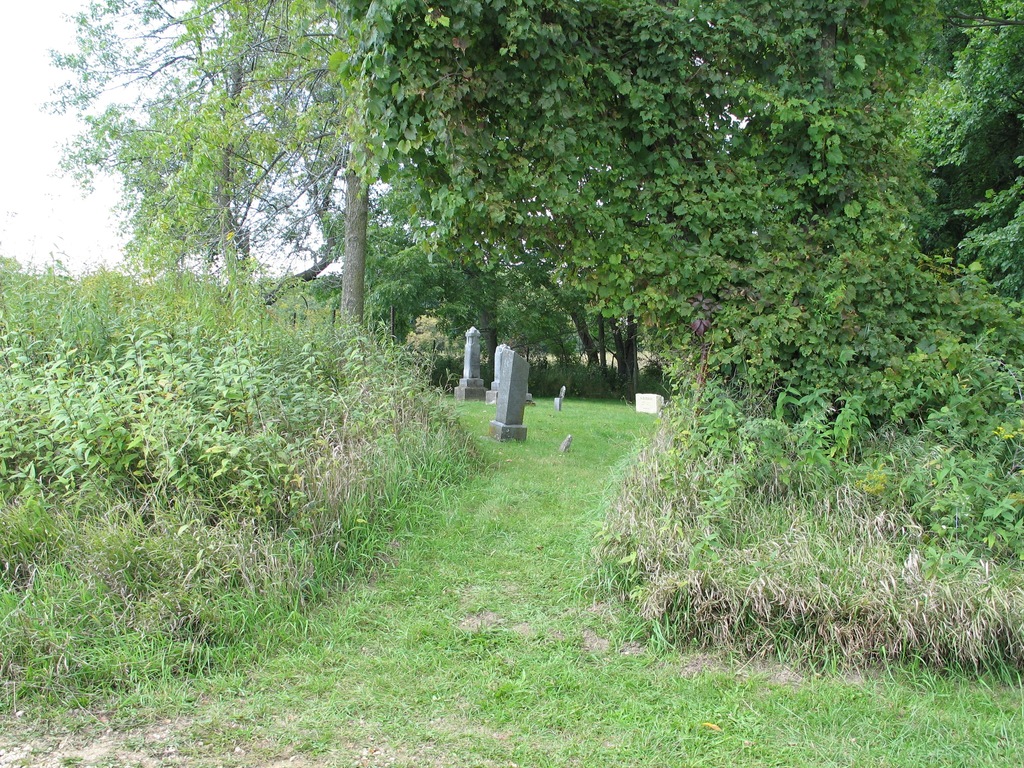
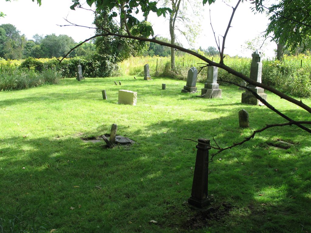
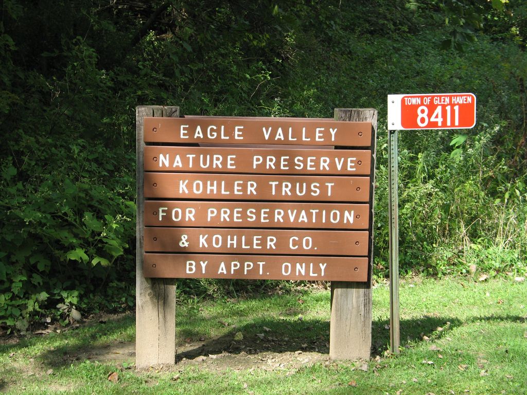
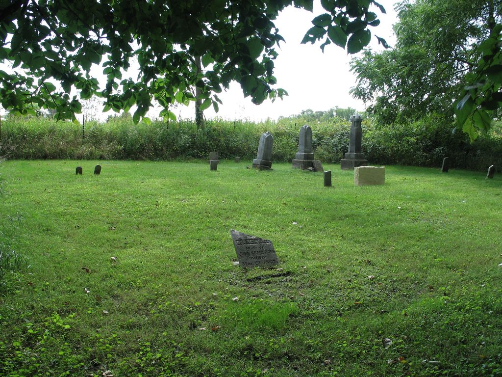
| Description | : | Old St. Mary's Cemetery (AKA: Ackerman Cemetery) is located on the property of Eagle Valley Nature Preserve, Kohler Trust for Preservation (8411 Duncan Road, Glen Haven, Wisconsin 53810), Director of Preserve & Caretaker of Cemetery: Brett Mandernack. The cemetery is located south of the town (Glen Haven) off Duncan Road and sits on top of hill between the road and the Mississippi River, located in a middle of the Eagle Valley Wisconsin Prairie Conservation Reserve, 1500' feet southwest of the Director's home and Preserve barn, down a vehicle trail on the north side of the trail at a "V" of a... Read More |
frequently asked questions (FAQ):
-
Where is Old Saint Marys Cemetery?
Old Saint Marys Cemetery is located at 8411 Duncan Road Glen Haven, Grant County ,Wisconsin , 53810USA.
-
Old Saint Marys Cemetery cemetery's updated grave count on graveviews.com?
1 memorials
-
Where are the coordinates of the Old Saint Marys Cemetery?
Latitude: 42.8078100
Longitude: -91.0675330
Nearby Cemetories:
1. Duncan Cemetery
Glen Haven, Grant County, USA
Coordinate: 42.8325540, -91.0725940
2. Gockel Cemetery
Glen Haven, Grant County, USA
Coordinate: 42.8224983, -91.0385971
3. Charlotte Cemetery
Glen Haven, Grant County, USA
Coordinate: 42.7933006, -91.0381012
4. Scott Cemetery
Glen Haven, Grant County, USA
Coordinate: 42.8368988, -91.0299988
5. Mount Olivet Cemetery
Guttenberg, Clayton County, USA
Coordinate: 42.7764840, -91.1083560
6. Guttenberg Cemetery
Guttenberg, Clayton County, USA
Coordinate: 42.7691994, -91.1035995
7. Borcherding Cemetery
Jefferson Township, Clayton County, USA
Coordinate: 42.8182983, -91.1414032
8. Ramsey Cemetery
North Andover, Grant County, USA
Coordinate: 42.7817001, -90.9972000
9. Saint Marys Cemetery
Guttenberg, Clayton County, USA
Coordinate: 42.7691994, -91.1352997
10. Saint Johns Cemetery
Jefferson Township, Clayton County, USA
Coordinate: 42.7497000, -91.1133000
11. Burton Cemetery
Bloomington, Grant County, USA
Coordinate: 42.8732000, -91.0210700
12. Tangeman Family Cemetery
Garnavillo, Clayton County, USA
Coordinate: 42.8580000, -91.1420000
13. Retallick Cemetery
Glen Haven, Grant County, USA
Coordinate: 42.8221650, -90.9597300
14. Saint Michael Cemetery
Clayton County, USA
Coordinate: 42.8055992, -91.1802979
15. Union-Lumpkin Cemetery
Bloomington, Grant County, USA
Coordinate: 42.8806140, -91.0065180
16. Bierer Cemetery
Millville, Clayton County, USA
Coordinate: 42.7230500, -91.0925166
17. Pioneer Rock Cemetery
Ceres, Clayton County, USA
Coordinate: 42.8230591, -91.1863937
18. Redman Cemetery
Millville, Clayton County, USA
Coordinate: 42.7166755, -91.0852901
19. Storck Cemetery
Guttenberg, Clayton County, USA
Coordinate: 42.7694335, -91.1834638
20. Saint Marys Settlement Cemetery
Cassville, Grant County, USA
Coordinate: 42.7538986, -90.9627991
21. Bagley Cemetery
Bagley, Grant County, USA
Coordinate: 42.9019012, -91.0907974
22. Cassville Cemetery
Cassville, Grant County, USA
Coordinate: 42.7324982, -90.9713974
23. Friedlein Cemetery
Millville, Clayton County, USA
Coordinate: 42.7080994, -91.1108017
24. McClelland Cemetery
Garnavillo, Clayton County, USA
Coordinate: 42.8249879, -91.2084641

