| Memorials | : | 0 |
| Location | : | Gold Hill, Rowan County, USA |
| Coordinate | : | 35.5507160, -80.2127270 |
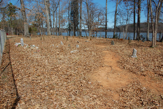
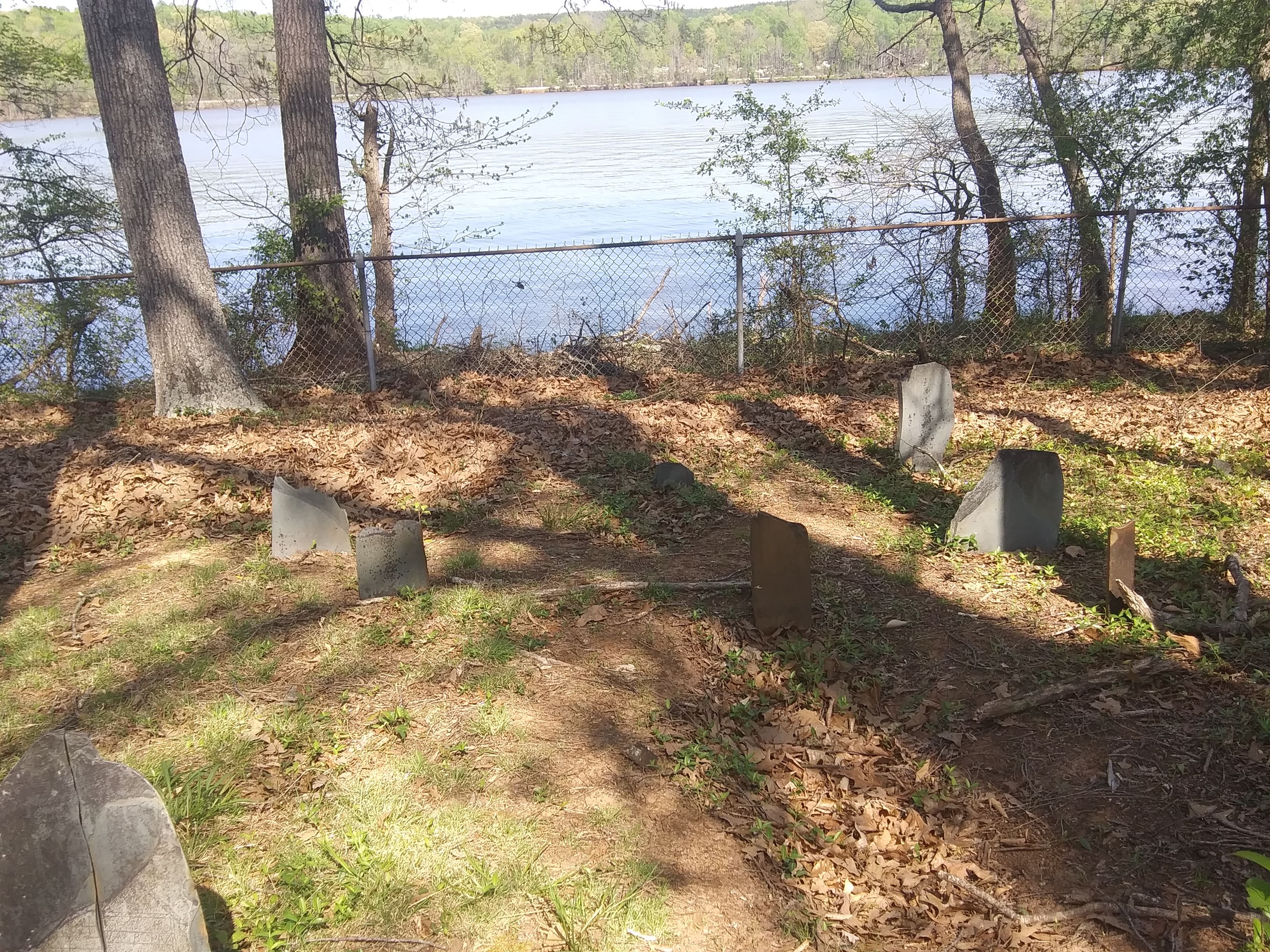
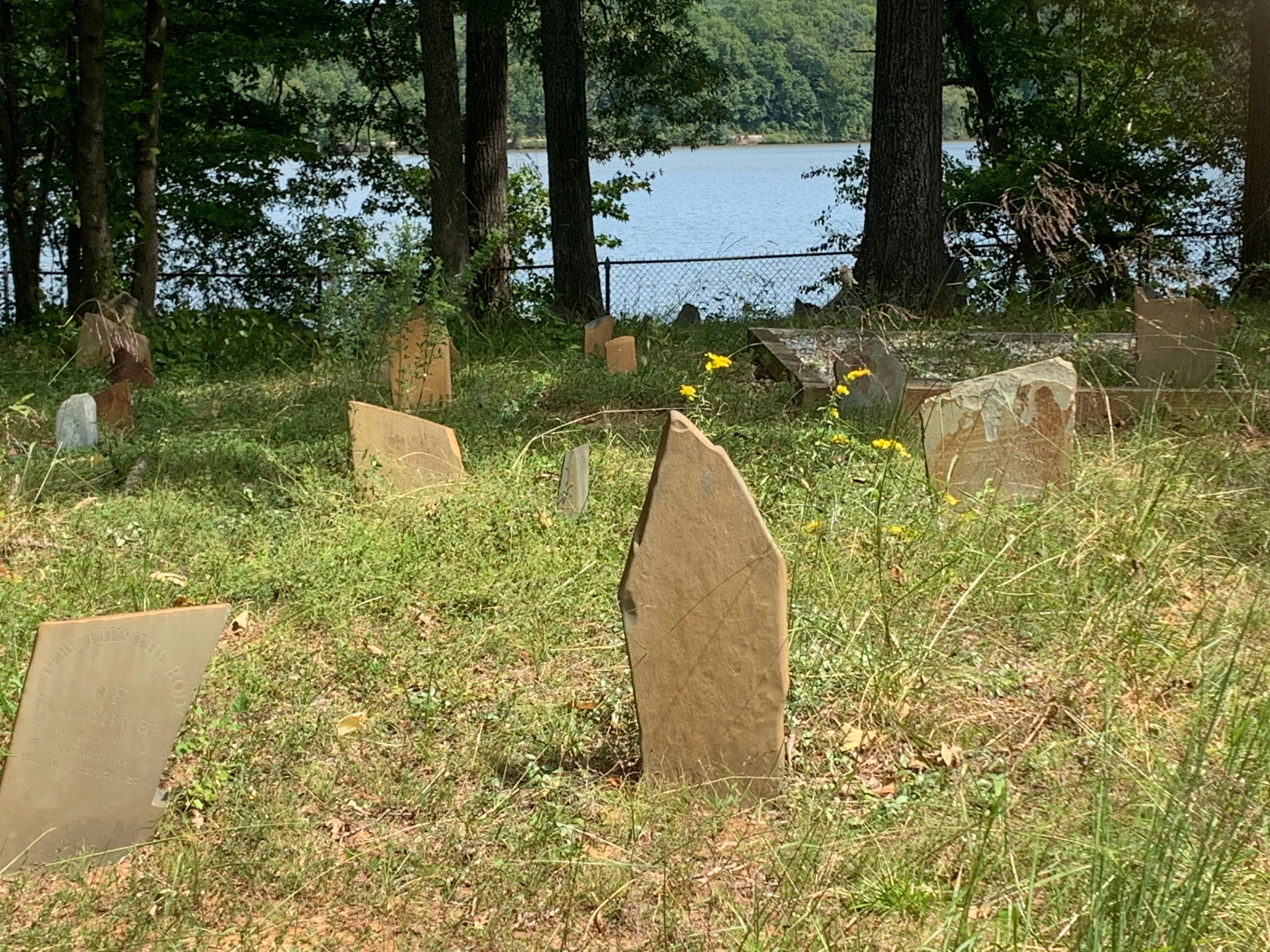
| Description | : | Listed as the "Reed Graveyard" in Rowan County Cemeteries Vol IV, and as the "Eggleston Property Cemetery" in Rowan County Cemeteries Vol V. Some stones found during earlier surveys have sunk or gone missing. In about 1756, John Reed 1735-1809 and his brothers (Eldad, Madad, and Moses) left Hopewell community in Mercer County, NJ and followed the Great Philadelphia wagon road to the Yadkin River Valley. They were part of the migration that established the Jersey Settlement in NC. In about 1786, John bought 560 acres at the mouth of Flat Creek where it joins the Yadkin River and in 1788... Read More |
frequently asked questions (FAQ):
-
Where is Reed Graveyard?
Reed Graveyard is located at Wildlife Access Rd (S.R. 2191), on Yadkin River Gold Hill, Rowan County ,North Carolina ,USA.
-
Reed Graveyard cemetery's updated grave count on graveviews.com?
0 memorials
-
Where are the coordinates of the Reed Graveyard?
Latitude: 35.5507160
Longitude: -80.2127270
Nearby Cemetories:
1. Flat Creek Primitive Baptist Church Cemetery
Rowan County, USA
Coordinate: 35.5564690, -80.2196655
2. Ellis-Frye Cemetery on the Old Reeves Place
Newsom, Davidson County, USA
Coordinate: 35.5370500, -80.1917800
3. Cox Cemetery
Jackson Hill, Davidson County, USA
Coordinate: 35.5655690, -80.1891100
4. Richard Parker Family Cemetery
Gold Hill, Rowan County, USA
Coordinate: 35.5188360, -80.2256660
5. Bean-Wyatt Cemetery
Rowan County, USA
Coordinate: 35.5863419, -80.2253036
6. El Carroll Cemetery
Jackson Hill, Davidson County, USA
Coordinate: 35.5785900, -80.1785700
7. Eli Carroll Cemetery
Jackson Hill, Davidson County, USA
Coordinate: 35.5785900, -80.1785700
8. Newsom Cemetery
Davidson County, USA
Coordinate: 35.5463982, -80.1641998
9. Jacob Miller Family Cemetery
Gold Hill, Rowan County, USA
Coordinate: 35.5092700, -80.2214400
10. Antioch Baptist Church Cemetery
Rowan County, USA
Coordinate: 35.5082210, -80.2216850
11. Luthers Lutheran Church Cemetery
Rowan County, USA
Coordinate: 35.5167000, -80.2470400
12. Poole Town Fire Department Cemetery
Pooletown, Rowan County, USA
Coordinate: 35.5876120, -80.2434230
13. Zion United Methodist Church Cemetery
Rowan County, USA
Coordinate: 35.5208700, -80.2567200
14. Wyatts Grove Missionary Baptist Church Cemetery
Rowan County, USA
Coordinate: 35.5874939, -80.2533646
15. High Rock Baptist Church Cemetery
Davidson County, USA
Coordinate: 35.5999985, -80.2197189
16. Loflin-Davis Cemetery
Jackson Hill, Davidson County, USA
Coordinate: 35.5635800, -80.1521700
17. Morgan Cemetery
Salisbury, Rowan County, USA
Coordinate: 35.5520287, -80.2778702
18. Surratt Family Cemetery
Denton, Davidson County, USA
Coordinate: 35.5831969, -80.1592038
19. Adderton Cemetery
Jackson Hill, Davidson County, USA
Coordinate: 35.5707400, -80.1487000
20. East Corinth Baptist Church Cemetery
Gold Hill, Rowan County, USA
Coordinate: 35.5567200, -80.2815300
21. John Loftin Cemetery
Healing Springs, Davidson County, USA
Coordinate: 35.5292300, -80.1482600
22. Clear Springs Cemetery
Denton, Davidson County, USA
Coordinate: 35.5859170, -80.1503850
23. Benjamin Carroll Cemetery
Healing Springs, Davidson County, USA
Coordinate: 35.5998010, -80.1607820
24. Parker Memorial Baptist Church Cemetery
Richfield, Stanly County, USA
Coordinate: 35.4913330, -80.2462630


