
| Memorials | : | 0 |
| Location | : | Reidland, McCracken County, USA |
| Coordinate | : | 37.0046160, -88.5315190 |
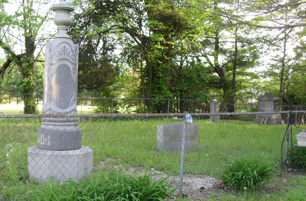
| Description | : | The Reid family for which Reidland gained its name. Actual cemetery may be bigger than what is known and fenced in. Unknown burials are here but exactly how many and where are still a mystery. This is the private family cemetery behind the house which used to stand in Reidland. It was a lovely home with beautiful trees and flowers.. It was unfortunately destroyed without much warning and the new Dollar General Store built where it had once stood for so many years. Nobody was given a chance to save it, they sold it and zoned the property as quietly... Read More |
frequently asked questions (FAQ):
-
Where is Reid Cemetery?
Reid Cemetery is located at Reidland, McCracken County ,Kentucky ,USA.
-
Reid Cemetery cemetery's updated grave count on graveviews.com?
0 memorials
-
Where are the coordinates of the Reid Cemetery?
Latitude: 37.0046160
Longitude: -88.5315190
Nearby Cemetories:
1. Rosebower Church Cemetery
Paducah, McCracken County, USA
Coordinate: 37.0022011, -88.5008011
2. Oliver Cemetery
Reidland, McCracken County, USA
Coordinate: 37.0358070, -88.5310720
3. Dishman Cemetery
Sharpe, Marshall County, USA
Coordinate: 36.9794370, -88.4813630
4. Oakland Cumberland Presbyterian Cemetery
Sharpe, Marshall County, USA
Coordinate: 36.9793091, -88.4800034
5. Ewing-Dishman Cemetery
Sharpe, Marshall County, USA
Coordinate: 36.9735985, -88.4766998
6. Brame Cemetery
Paducah, McCracken County, USA
Coordinate: 37.0327880, -88.5993890
7. German Babb Cemetery
Paducah, McCracken County, USA
Coordinate: 37.0037950, -88.6147890
8. Story Cemetery #2
Sharpe, Marshall County, USA
Coordinate: 36.9842320, -88.4510350
9. Little Cypress Cemetery
Little Cypress, Marshall County, USA
Coordinate: 37.0183182, -88.4476166
10. Rosie Boyd Cemetery
Littleville, McCracken County, USA
Coordinate: 37.0383800, -88.6072200
11. Jones Family Cemetery
Paducah, McCracken County, USA
Coordinate: 37.0323700, -88.6112400
12. Gardner Cemetery
Hendron, McCracken County, USA
Coordinate: 37.0003762, -88.6193163
13. Sharpe Church of Christ Cemetery
Sharpe, Marshall County, USA
Coordinate: 36.9674797, -88.4566803
14. Jones Cemetery
McCracken County, USA
Coordinate: 37.0005905, -88.6195249
15. Herzog Cemetery
McCracken County, USA
Coordinate: 37.0102997, -88.6194000
16. Sunny Slope Cemetery
Paducah, McCracken County, USA
Coordinate: 36.9933850, -88.6191560
17. Switzer Cemetery
McCracken County, USA
Coordinate: 36.9942017, -88.6207962
18. Carters Mill Cemetery
Graves County, USA
Coordinate: 36.9307610, -88.5379510
19. Leonard Cemetery
Possum Trot, Marshall County, USA
Coordinate: 37.0085983, -88.4389038
20. Hardmoney Baptist Church Cemetery
Boaz, Graves County, USA
Coordinate: 36.9424190, -88.5839870
21. Pryors Chapel Cemetery
Graves County, USA
Coordinate: 36.9282990, -88.5397034
22. Thompson Cemetery
McCracken County, USA
Coordinate: 36.9644012, -88.6132965
23. King Cemetery
Possum Trot, Marshall County, USA
Coordinate: 36.9863396, -88.4293823
24. Fooks Cemetery
Sharpe, Marshall County, USA
Coordinate: 36.9813995, -88.4291992