| Memorials | : | 0 |
| Location | : | New Enterprise, Bedford County, USA |
| Coordinate | : | 40.1683540, -78.4482700 |
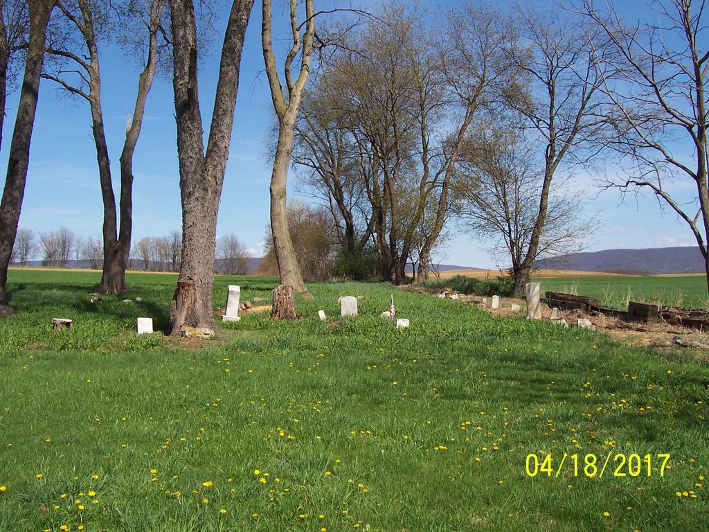
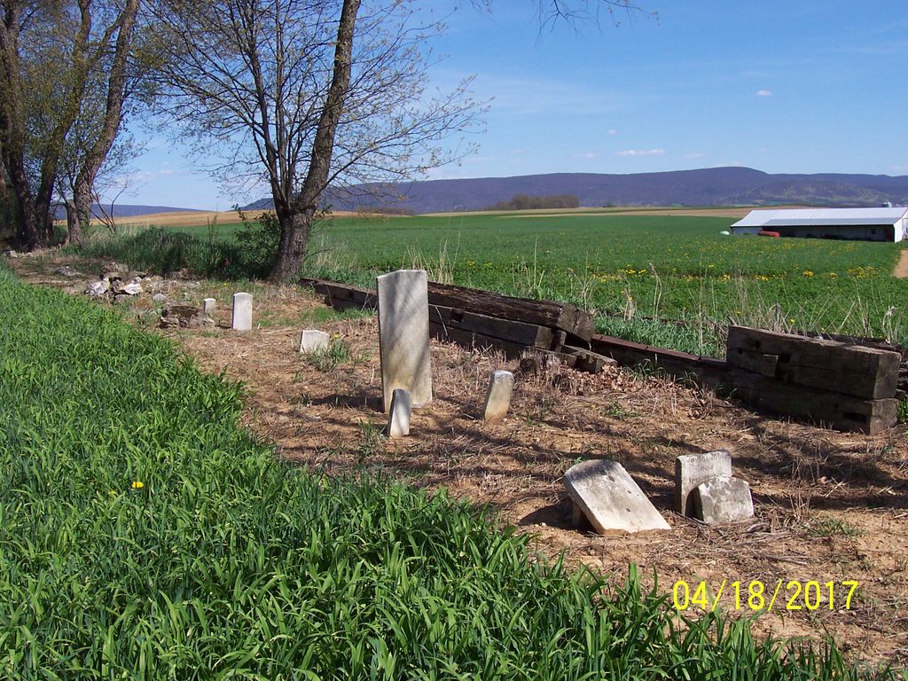
| Description | : | Directions: Begin at New Enterprise and travel West on Route 869, Brumbaugh Road. Take a left on Route 1026 South, Salemville Road. Travel about .6 mile to a gravel road on the left, Amelia Road. Take Amelia Road straight to the end. You should see a group of trees, high plants and a few headstones. There was a mobile home on the left. Cemetery location and transcription by James D. Boor, New Enterprise (1944-2016) Find A Grave Memorial# 162961064. |
frequently asked questions (FAQ):
-
Where is Rice Family Cemetery?
Rice Family Cemetery is located at Amelia Road New Enterprise, Bedford County ,Pennsylvania ,USA.
-
Rice Family Cemetery cemetery's updated grave count on graveviews.com?
0 memorials
-
Where are the coordinates of the Rice Family Cemetery?
Latitude: 40.1683540
Longitude: -78.4482700
Nearby Cemetories:
1. New Enterprise Cemetery
New Enterprise, Bedford County, USA
Coordinate: 40.1736488, -78.4141998
2. Bowser Farm Cemetery
Oppenheimer, Bedford County, USA
Coordinate: 40.1364640, -78.4746120
3. Koontz Church of the Brethren Cemetery
Loysburg, Bedford County, USA
Coordinate: 40.1400920, -78.3986360
4. George Michael Imler Family Cemetery
Bedford County, USA
Coordinate: 40.1202540, -78.4579400
5. Lutheran Cemetery at Osterburg
Osterburg, Bedford County, USA
Coordinate: 40.1665600, -78.5136500
6. Loysburg Hill Cemetery
Loysburg, Bedford County, USA
Coordinate: 40.1603370, -78.3831860
7. Osterburg Community Cemetery
Osterburg, Bedford County, USA
Coordinate: 40.1666700, -78.5154800
8. Fickes Cemetery
King, Bedford County, USA
Coordinate: 40.2074410, -78.4919870
9. Trinity Reformed Church Cemetery
Osterburg, Bedford County, USA
Coordinate: 40.1674309, -78.5170975
10. Old Union Cemetery
Osterburg, Bedford County, USA
Coordinate: 40.1677080, -78.5183640
11. Saint John's Reformed Church Cemetery
Loysburg, Bedford County, USA
Coordinate: 40.1641000, -78.3778000
12. Snyder Cemetery
Bakers Summit, Bedford County, USA
Coordinate: 40.2177410, -78.4195630
13. Stayer Farm Cemetery
New Enterprise, Bedford County, USA
Coordinate: 40.1235550, -78.3989560
14. Barley Lutheran Church Cemetery
Bakers Summit, Bedford County, USA
Coordinate: 40.2343000, -78.4277000
15. Imler Saint Paul Brethren Cemetery
Imler, Bedford County, USA
Coordinate: 40.2059937, -78.5238647
16. Saint Mark's Cemetery
King, Bedford County, USA
Coordinate: 40.2374400, -78.4672900
17. Imler Valley Cemetery
Imler, Bedford County, USA
Coordinate: 40.2105713, -78.5224533
18. Albright Cemetery
Dutch Corner, Bedford County, USA
Coordinate: 40.0970000, -78.4640000
19. Messiah Lutheran Church Cemetery
Dutch Corner, Bedford County, USA
Coordinate: 40.1033000, -78.4898000
20. Pleasant Hill Reformed Church Cemetery
Imlertown, Bedford County, USA
Coordinate: 40.0947914, -78.4669113
21. Holsinger Cemetery
Bakers Summit, Bedford County, USA
Coordinate: 40.2454185, -78.4240265
22. J S Imler Cemetery
Bedford County, USA
Coordinate: 40.0867540, -78.4794070
23. Long Family Cemetery
Bakers Summit, Bedford County, USA
Coordinate: 40.2513000, -78.4220000
24. Christian Light Church Cemetery
Cessna, Bedford County, USA
Coordinate: 40.1039000, -78.5241000


