
| Memorials | : | 0 |
| Location | : | Oppenheimer, Bedford County, USA |
| Coordinate | : | 40.1364640, -78.4746120 |
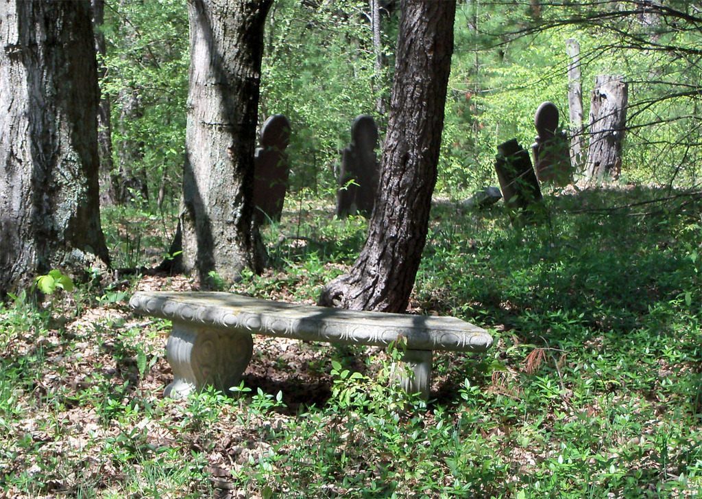
| Description | : | This is a small farm cemetery on private property in the "Dutch Corner" area of Bedford County, Pennsylvania. The land was originally owned by John and Eve Bowser by a land warrant application dated January 13, 1774 and returned for patent on 12 Oct 1774. There are four marked graves in this cemetery along with several other unmarked graves of persons who's names are unknown. Some refer to this farm cemetery as the "Old Oppenheimer Farm Cemetery". |
frequently asked questions (FAQ):
-
Where is Bowser Farm Cemetery?
Bowser Farm Cemetery is located at Oppenheimer Road (Township Road T545) Oppenheimer, Bedford County ,Pennsylvania , 15522USA.
-
Bowser Farm Cemetery cemetery's updated grave count on graveviews.com?
0 memorials
-
Where are the coordinates of the Bowser Farm Cemetery?
Latitude: 40.1364640
Longitude: -78.4746120
Nearby Cemetories:
1. George Michael Imler Family Cemetery
Bedford County, USA
Coordinate: 40.1202540, -78.4579400
2. Messiah Lutheran Church Cemetery
Dutch Corner, Bedford County, USA
Coordinate: 40.1033000, -78.4898000
3. Rice Family Cemetery
New Enterprise, Bedford County, USA
Coordinate: 40.1683540, -78.4482700
4. Albright Cemetery
Dutch Corner, Bedford County, USA
Coordinate: 40.0970000, -78.4640000
5. Pleasant Hill Reformed Church Cemetery
Imlertown, Bedford County, USA
Coordinate: 40.0947914, -78.4669113
6. Lutheran Cemetery at Osterburg
Osterburg, Bedford County, USA
Coordinate: 40.1665600, -78.5136500
7. Osterburg Community Cemetery
Osterburg, Bedford County, USA
Coordinate: 40.1666700, -78.5154800
8. Trinity Reformed Church Cemetery
Osterburg, Bedford County, USA
Coordinate: 40.1674309, -78.5170975
9. Old Union Cemetery
Osterburg, Bedford County, USA
Coordinate: 40.1677080, -78.5183640
10. J S Imler Cemetery
Bedford County, USA
Coordinate: 40.0867540, -78.4794070
11. Christian Light Church Cemetery
Cessna, Bedford County, USA
Coordinate: 40.1039000, -78.5241000
12. Saint John's Lutheran Church Cemetery
Cessna, Bedford County, USA
Coordinate: 40.0968300, -78.5251900
13. Koontz Church of the Brethren Cemetery
Loysburg, Bedford County, USA
Coordinate: 40.1400920, -78.3986360
14. Stayer Farm Cemetery
New Enterprise, Bedford County, USA
Coordinate: 40.1235550, -78.3989560
15. New Enterprise Cemetery
New Enterprise, Bedford County, USA
Coordinate: 40.1736488, -78.4141998
16. Anderson Cemetery
Cessna, Bedford County, USA
Coordinate: 40.0963060, -78.5330390
17. Saint Pauls Reformed Church Cemetery
Cessna, Bedford County, USA
Coordinate: 40.0852460, -78.5231280
18. Beaver Lane Cemetery
Cessna, Bedford County, USA
Coordinate: 40.1085106, -78.5497407
19. Saint James Lutheran Cemetery
Bedford, Bedford County, USA
Coordinate: 40.0713654, -78.4558182
20. Fickes Cemetery
King, Bedford County, USA
Coordinate: 40.2074410, -78.4919870
21. Mount Smith Cemetery
Bedford, Bedford County, USA
Coordinate: 40.0703354, -78.5162506
22. Loysburg Hill Cemetery
Loysburg, Bedford County, USA
Coordinate: 40.1603370, -78.3831860
23. Stayer Cemetery
Dutch Corner, Bedford County, USA
Coordinate: 40.0621550, -78.4594870
24. Saint John's Reformed Church Cemetery
Loysburg, Bedford County, USA
Coordinate: 40.1641000, -78.3778000