
| Memorials | : | 6 |
| Location | : | Osterburg, Bedford County, USA |
| Coordinate | : | 40.1677080, -78.5183640 |
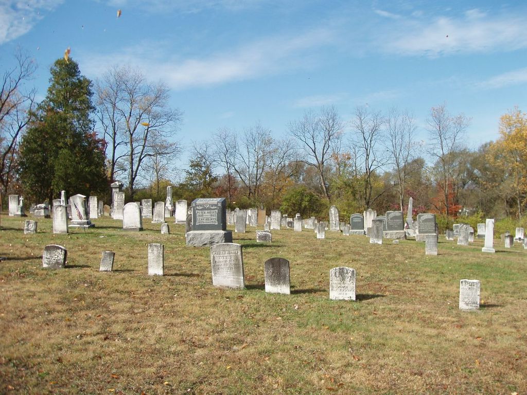
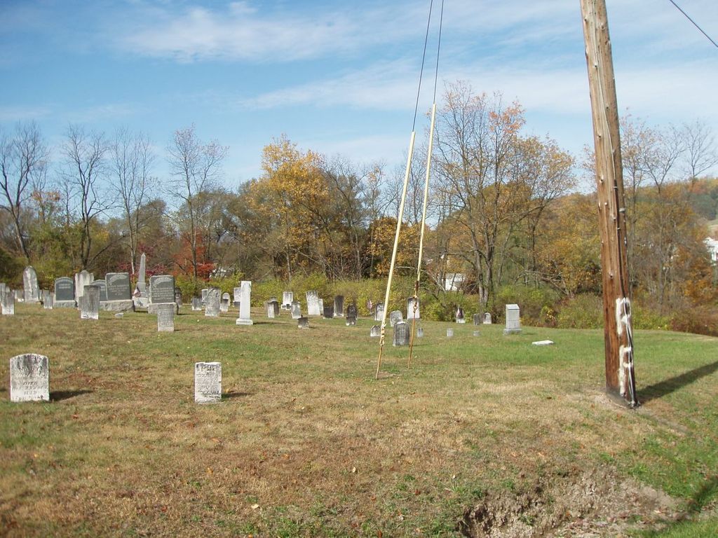
| Description | : | In East St. Clair Township, on the west side of Highway 869 (William Penn Rd), north of Kansas street, just south of the sign marking the boundary of King Township. Some sites say Osterburg, other's say Churchville. Not to be confused with Trinity United Church of Christ and its Cemetery to the south east which are on the east side of Hwy 869. |
frequently asked questions (FAQ):
-
Where is Old Union Cemetery?
Old Union Cemetery is located at N/W of intersection of Hwy 869 (William Penn Rd) and Kansas Street Osterburg, Bedford County ,Pennsylvania , 16667USA.
-
Old Union Cemetery cemetery's updated grave count on graveviews.com?
6 memorials
-
Where are the coordinates of the Old Union Cemetery?
Latitude: 40.1677080
Longitude: -78.5183640

Nearby Cemetories:
1. Trinity Reformed Church Cemetery
Osterburg, Bedford County, USA
Coordinate: 40.1674309, -78.5170975
2. Osterburg Community Cemetery
Osterburg, Bedford County, USA
Coordinate: 40.1666700, -78.5154800
3. Lutheran Cemetery at Osterburg
Osterburg, Bedford County, USA
Coordinate: 40.1665600, -78.5136500
4. Imler Saint Paul Brethren Cemetery
Imler, Bedford County, USA
Coordinate: 40.2059937, -78.5238647
5. Imler Valley Cemetery
Imler, Bedford County, USA
Coordinate: 40.2105713, -78.5224533
6. Fickes Cemetery
King, Bedford County, USA
Coordinate: 40.2074410, -78.4919870
7. Bowser Farm Cemetery
Oppenheimer, Bedford County, USA
Coordinate: 40.1364640, -78.4746120
8. William Clark Sr. Cemetery
Alum Bank, Bedford County, USA
Coordinate: 40.1682400, -78.5840400
9. Horn United Methodist Church Cemetery
Alum Bank, Bedford County, USA
Coordinate: 40.1767000, -78.5838000
10. Rice Family Cemetery
New Enterprise, Bedford County, USA
Coordinate: 40.1683540, -78.4482700
11. Hoover Cemetery
Alum Bank, Bedford County, USA
Coordinate: 40.1853910, -78.5921790
12. McDonald Farm Cemetery
Bedford County, USA
Coordinate: 40.2151330, -78.5673170
13. Beaver Lane Cemetery
Cessna, Bedford County, USA
Coordinate: 40.1085106, -78.5497407
14. Christian Light Church Cemetery
Cessna, Bedford County, USA
Coordinate: 40.1039000, -78.5241000
15. George Michael Imler Family Cemetery
Bedford County, USA
Coordinate: 40.1202540, -78.4579400
16. Fishertown Lutheran Cemetery
Fishertown, Bedford County, USA
Coordinate: 40.1255500, -78.5861900
17. Stone Church Cemetery
Fishertown, Bedford County, USA
Coordinate: 40.1337000, -78.5939000
18. Messiah Lutheran Church Cemetery
Dutch Corner, Bedford County, USA
Coordinate: 40.1033000, -78.4898000
19. Fishertown Brethren Cemetery
Fishertown, Bedford County, USA
Coordinate: 40.1227300, -78.5880220
20. Saint John's Lutheran Church Cemetery
Cessna, Bedford County, USA
Coordinate: 40.0968300, -78.5251900
21. Fishertown Cemetery
Fishertown, Bedford County, USA
Coordinate: 40.1197357, -78.5878830
22. Anderson Cemetery
Cessna, Bedford County, USA
Coordinate: 40.0963060, -78.5330390
23. Pleasantville Cemetery
Alum Bank, Bedford County, USA
Coordinate: 40.1836400, -78.6133400
24. New Enterprise Cemetery
New Enterprise, Bedford County, USA
Coordinate: 40.1736488, -78.4141998