
| Memorials | : | 345 |
| Location | : | Chelan, Chelan County, USA |
| Coordinate | : | 47.8335991, -119.9944000 |
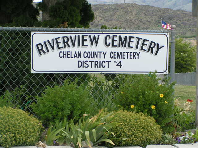
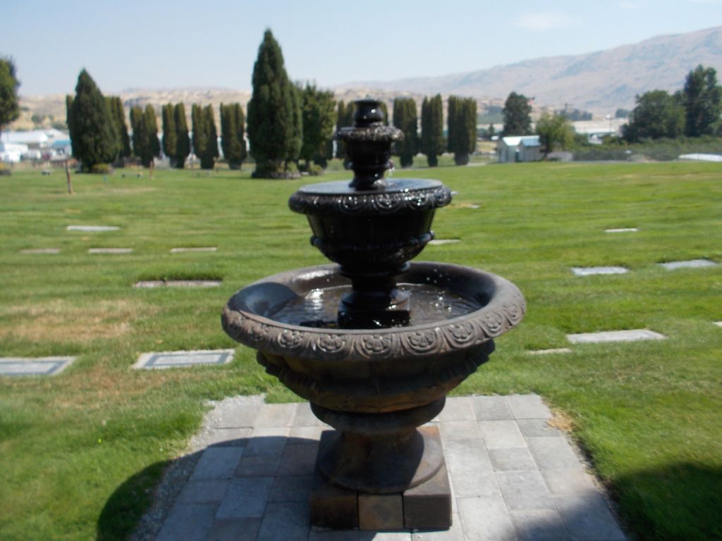
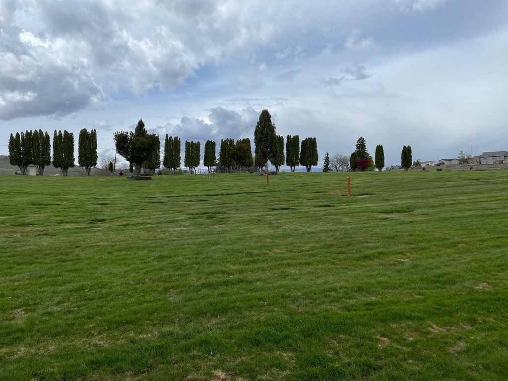
| Description | : | Riverview Cemetery is located at 401 Riverview Cemetery Road in Chelan. In August 1929, J. A. Van Slyke donated 5 acres for the Riverview Cemetery and burials began that month. Even though it had been named the Riverview Cemetery, Mr. Van Slyke said he would like it to be called the Memorial Cemetery. Early records actually referred to it as the Memorial Cemetery. There are few headstones dating further back than 1929 for people who were brought over from the Fraternal Cemetery. Additional headstones date prior than 1929 are actually memorial headstones for some buried on their homestead or are still located in the Fraternal Cemetery. There are to be no... Read More |
frequently asked questions (FAQ):
-
Where is Riverview Cemetery?
Riverview Cemetery is located at Chelan, Chelan County ,Washington ,USA.
-
Riverview Cemetery cemetery's updated grave count on graveviews.com?
342 memorials
-
Where are the coordinates of the Riverview Cemetery?
Latitude: 47.8335991
Longitude: -119.9944000
Nearby Cemetories:
1. Mount Olivet Cemetery
Chelan, Chelan County, USA
Coordinate: 47.8451000, -119.9946000
2. Saint Andrews Episcopal Church
Chelan, Chelan County, USA
Coordinate: 47.8397460, -120.0183780
3. Chelan Fraternal Cemetery
Chelan, Chelan County, USA
Coordinate: 47.8502998, -120.0081024
4. Ballard Family Cemetery
Stayman, Chelan County, USA
Coordinate: 47.7811100, -120.1133300
5. Fletcher Cemetery
Douglas County, USA
Coordinate: 47.7430992, -119.9403000
6. Manson Indian Cemetery
Manson, Chelan County, USA
Coordinate: 47.8800000, -120.1300000
7. Brays Landing Cemetery
Douglas County, USA
Coordinate: 47.7364120, -120.1704660
8. Kummer Cemetery
Waterville, Douglas County, USA
Coordinate: 47.6559000, -120.0332000
9. Waterville Cemetery
Waterville, Douglas County, USA
Coordinate: 47.6418500, -120.0685940
10. Gate of Heaven Catholic Cemetery
Waterville, Douglas County, USA
Coordinate: 47.6382100, -120.0671690
11. Packwood Memorial Cemetery
Dyer, Douglas County, USA
Coordinate: 48.0118305, -119.8178880
12. Douglas Lutheran Cemetery
Douglas County, USA
Coordinate: 47.6189003, -119.9614029
13. Dick Family Cemetery
Okanogan County, USA
Coordinate: 48.0502700, -119.9241700
14. Miller Family Cemetery
Okanogan County, USA
Coordinate: 48.0530300, -119.9288000
15. Pateros Cemetery
Pateros, Okanogan County, USA
Coordinate: 48.0516600, -119.9097300
16. Badger Mountain View Cemetery
Douglas County, USA
Coordinate: 47.6088000, -120.0476000
17. Mansfield Cemetery
Mansfield, Douglas County, USA
Coordinate: 47.8088880, -119.6508330
18. Orondo Community Cemetery
Orondo, Douglas County, USA
Coordinate: 47.6486015, -120.2136002
19. Happy Home Cemetery
Farmer, Douglas County, USA
Coordinate: 47.6268997, -119.8125000
20. Buckingham Cemetery
Douglas County, USA
Coordinate: 47.8669014, -119.6286011
21. Entiat Cemetery
Entiat, Chelan County, USA
Coordinate: 47.6755981, -120.3043976
22. Jameson Cemetery
Douglas County, USA
Coordinate: 47.6857986, -119.6624985
23. Bridgeport Cemetery
Bridgeport, Douglas County, USA
Coordinate: 48.0050000, -119.6738800
24. Methow Cemetery
Methow, Okanogan County, USA
Coordinate: 48.1102982, -120.0124969