
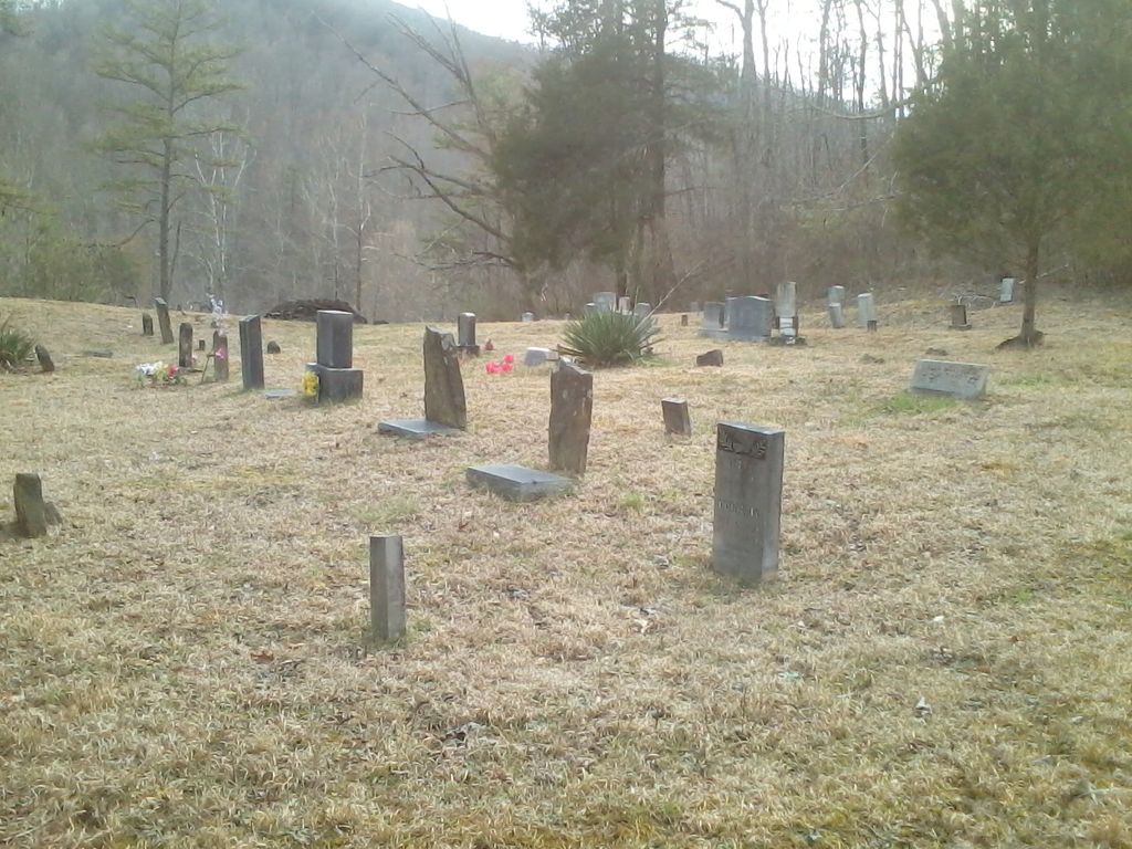
| Memorials | : | 0 |
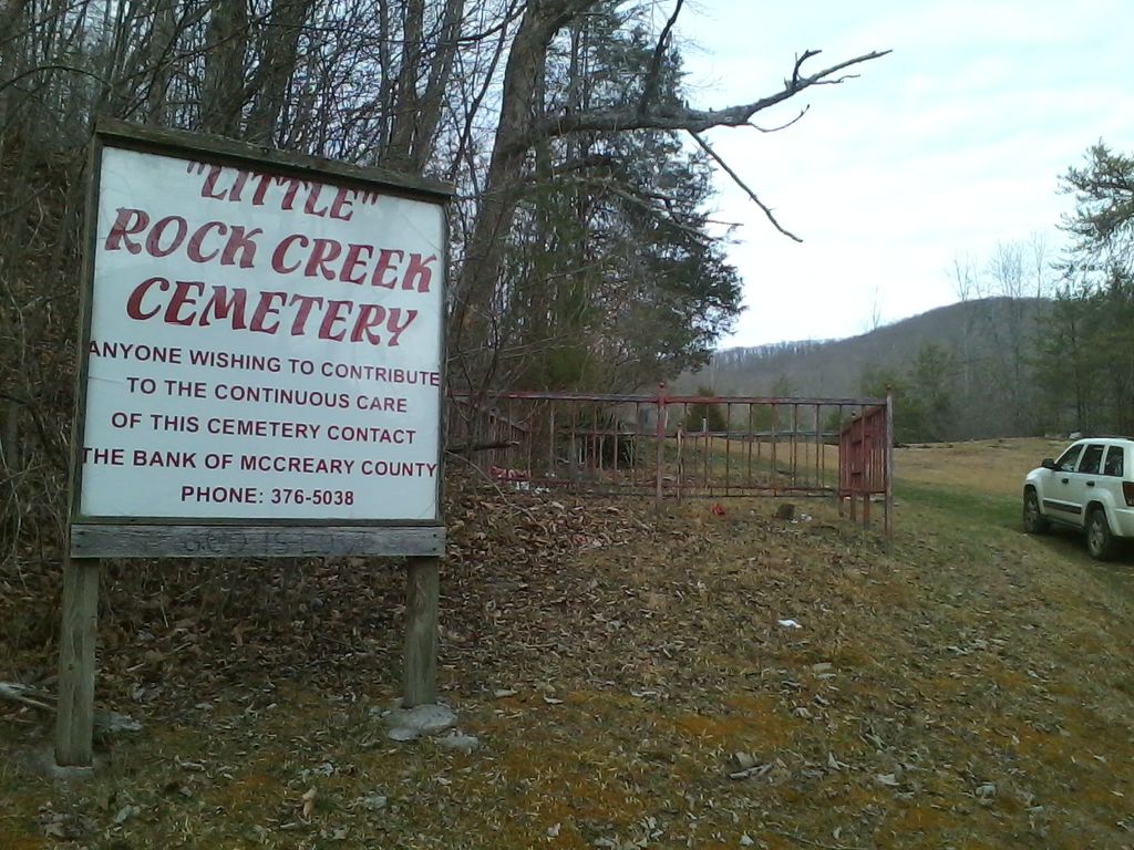
| Location | : | McCreary County, USA |
| Coordinate | : | 36.6060982, -84.3189011 |
frequently asked questions (FAQ):
-
Where is Rock Creek Cemetery?
Rock Creek Cemetery is located at McCreary County ,Kentucky ,USA.
-
Rock Creek Cemetery cemetery's updated grave count on graveviews.com?
0 memorials
-
Where are the coordinates of the Rock Creek Cemetery?
Latitude: 36.6060982
Longitude: -84.3189011
Nearby Cemetories:
1. Holt Cemetery
McCreary County, USA
Coordinate: 36.6088982, -84.3507996
2. Hayes Creek Cemetery
Creekmore, McCreary County, USA
Coordinate: 36.6197014, -84.3591995
3. Trammell Cemetery
Capuchin, Scott County, USA
Coordinate: 36.5696983, -84.2814026
4. Blankenship Cemetery
Capuchin, Scott County, USA
Coordinate: 36.5673027, -84.2818756
5. Cross Cemetery
Scott County, USA
Coordinate: 36.5517006, -84.3277969
6. Davis Cemetery
Pine Knot, McCreary County, USA
Coordinate: 36.6444440, -84.3683330
7. Pleasant Run Cemetery
Hollyhill, McCreary County, USA
Coordinate: 36.6622391, -84.3222504
8. Pleasant Run Memorial Cemetery
McCreary County, USA
Coordinate: 36.6633760, -84.3244200
9. Neal Cemetery
McCreary County, USA
Coordinate: 36.6405020, -84.3827090
10. Ryan Cemetery
Pine Knot, McCreary County, USA
Coordinate: 36.6030998, -84.3977966
11. Davis Hill-William Ball Family
Pine Knot, McCreary County, USA
Coordinate: 36.6631260, -84.3656470
12. Lower Cal Hill Cemetery
Pine Knot, McCreary County, USA
Coordinate: 36.6471800, -84.3909770
13. Cat Hill Cemetery
Pine Knot, McCreary County, USA
Coordinate: 36.6472015, -84.3914032
14. Baird Creek Cemetery
Capuchin, Scott County, USA
Coordinate: 36.5442009, -84.2656021
15. Jones Cemetery
Silerville, McCreary County, USA
Coordinate: 36.6161003, -84.4143982
16. Upper Cal Hill Cemetery
Pine Knot, McCreary County, USA
Coordinate: 36.6495590, -84.4008450
17. Lamb Mountain Family Cemetery
Newcomb, Campbell County, USA
Coordinate: 36.5502970, -84.2495270
18. Duncan Cemetery
Helenwood, Scott County, USA
Coordinate: 36.5732994, -84.4083023
19. Duncan Cemetery
Scott County, USA
Coordinate: 36.5736008, -84.4085999
20. Moore Family Cemetery
Pine Knot, McCreary County, USA
Coordinate: 36.6648100, -84.3884400
21. Bethel Cemetery
Pine Knot, McCreary County, USA
Coordinate: 36.6866670, -84.3555560
22. East Pine Knot Memorial Gardens
Pine Knot, McCreary County, USA
Coordinate: 36.6687700, -84.3972450
23. Wood Cemetery
Pine Knot, McCreary County, USA
Coordinate: 36.6688100, -84.3972390
24. Chitwood Cemetery
Pine Knot, McCreary County, USA
Coordinate: 36.6691370, -84.3979970