
| Memorials | : | 2 |
| Location | : | Norman, Cleveland County, USA |
| Coordinate | : | 35.2464600, -97.4246140 |
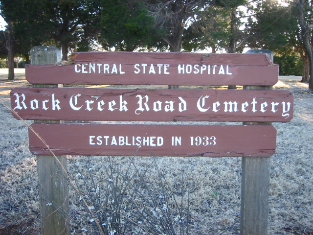
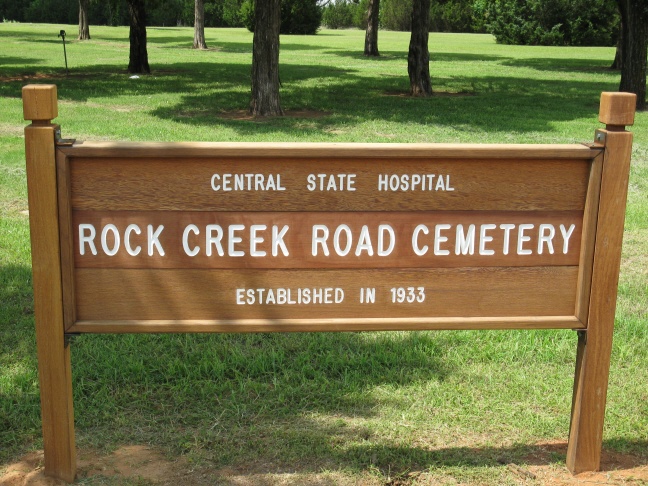
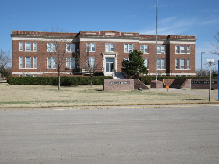
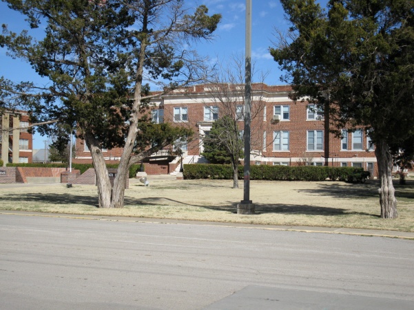
| Description | : | Central State Hospital Rock Creek Road Cemetery is on the southwest corner of the intersection of 12th Ave. N.E. and Rock Creek Road in Norman, Cleveland County, Oklahoma. This is an indigent patient cemetery for the Griffin Memorial Hospital, originally known as Central State Hospital. In 1994, while working on updating the cemetery list, members of the Cleveland County Genealogical Society checked each stone to verify accuracy and location of each stone. Also in 1994, a sign was placed in the northeast corner of the cemetery and all grave markers were uncovered and leveled. This cemetery was established in... Read More |
frequently asked questions (FAQ):
-
Where is Rock Creek Road Cemetery?
Rock Creek Road Cemetery is located at Norman, Cleveland County ,Oklahoma ,USA.
-
Rock Creek Road Cemetery cemetery's updated grave count on graveviews.com?
1 memorials
-
Where are the coordinates of the Rock Creek Road Cemetery?
Latitude: 35.2464600
Longitude: -97.4246140
Nearby Cemetories:
1. Saint Josephs Catholic Cemetery
Norman, Cleveland County, USA
Coordinate: 35.2450490, -97.4410990
2. IOOF Cemetery
Norman, Cleveland County, USA
Coordinate: 35.2439250, -97.4410950
3. First Christian Church Memorial Gardens
Norman, Cleveland County, USA
Coordinate: 35.2178000, -97.4460000
4. Saint John's Episcopal Church Columbarium
Norman, Cleveland County, USA
Coordinate: 35.2143160, -97.4426780
5. First Presbyterian Church Columbarium
Norman, Cleveland County, USA
Coordinate: 35.2126000, -97.4452000
6. Mex the Dog Burial Site
Norman, Cleveland County, USA
Coordinate: 35.2067000, -97.4422000
7. Sunset Memorial Park
Norman, Cleveland County, USA
Coordinate: 35.2908310, -97.4079720
8. Saint Stephens UMC Columbarium
Norman, Cleveland County, USA
Coordinate: 35.2081000, -97.4684000
9. Lilac Hill Memorial Gardens
Moore, Cleveland County, USA
Coordinate: 35.2923560, -97.4557270
10. Warren Cemetery
Norman, Cleveland County, USA
Coordinate: 35.2402992, -97.5033035
11. Saint Michael's Episcopal Church Columbarium
Norman, Cleveland County, USA
Coordinate: 35.1900000, -97.4667000
12. Saint Michael's Episcopal Church Memorial Garden
Norman, Cleveland County, USA
Coordinate: 35.1900000, -97.4667000
13. Independence Cemetery
Norman, Cleveland County, USA
Coordinate: 35.1880989, -97.3696976
14. Fairview Cemetery
Norman, Cleveland County, USA
Coordinate: 35.3072410, -97.3708050
15. Smith Cemetery
Moore, Cleveland County, USA
Coordinate: 35.3055992, -97.4935989
16. Falls Cemetery
Denver, Cleveland County, USA
Coordinate: 35.2328670, -97.3179580
17. Blackburn Cemetery
Norman, Cleveland County, USA
Coordinate: 35.2738991, -97.3171997
18. Adkins Cemetery
Goldsby, McClain County, USA
Coordinate: 35.1502991, -97.4518967
19. Ten Mile Flat Cemetery
Norman, Cleveland County, USA
Coordinate: 35.2804146, -97.5473099
20. Moore Cemetery
Moore, Cleveland County, USA
Coordinate: 35.3328018, -97.5025024
21. Pet Memorial Gardens
Norman, Cleveland County, USA
Coordinate: 35.1813700, -97.5381200
22. Denver Cemetery
Norman, Cleveland County, USA
Coordinate: 35.2097015, -97.2814026
23. Noble IOOF Cemetery
Noble, Cleveland County, USA
Coordinate: 35.1175003, -97.3783035
24. Emanuel Hebrew Cemetery
Oklahoma City, Cleveland County, USA
Coordinate: 35.3600006, -97.5294037