| Memorials | : | 18 |
| Location | : | Norman, Cleveland County, USA |
| Phone | : | 405-329-2553 |
| Coordinate | : | 35.2908310, -97.4079720 |
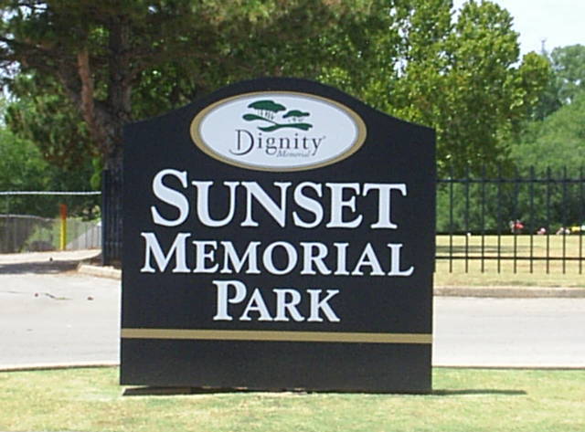
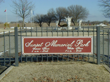
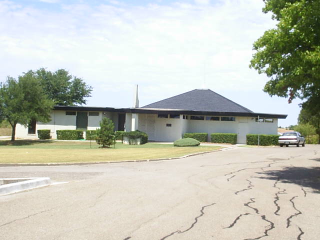
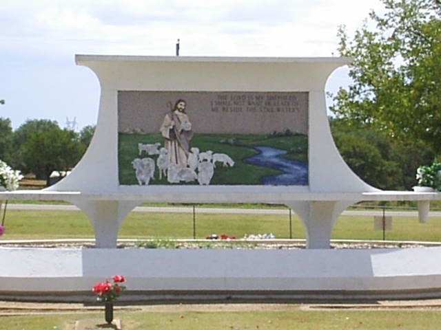
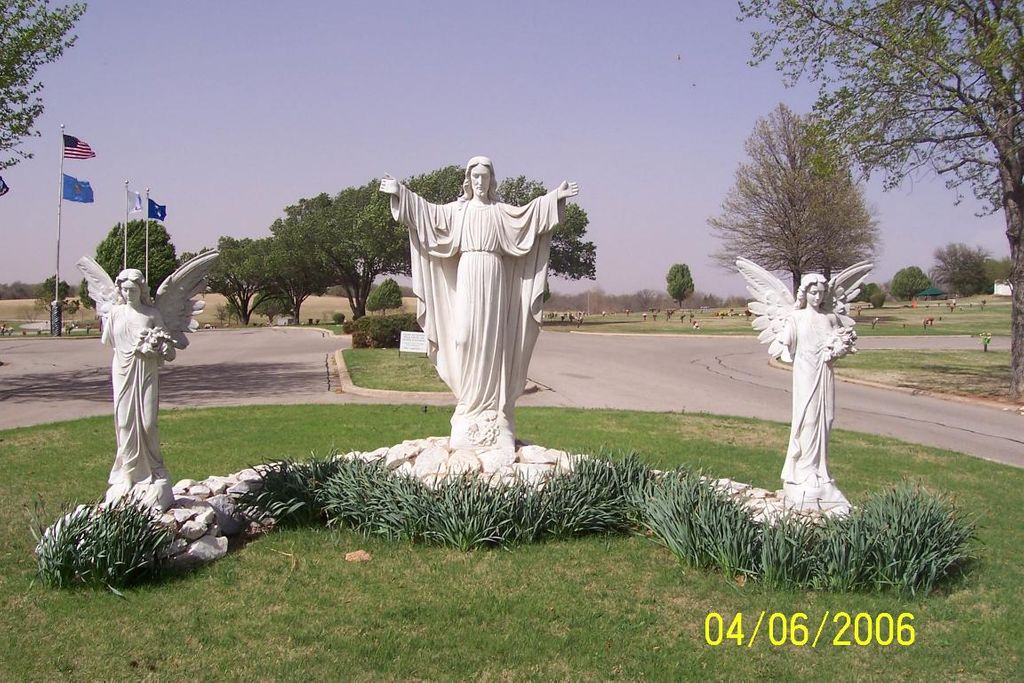
| Description | : | History of Sunset Memorial Park Cemetery: Sunset Memorial Park opened in 1963. There are 80 acres of beautifully landscaped cemetery property, including 12 fully-developed burial gardens – two of which are designated as Veterans’ Gardens to honor the men and women who have served our country. Sunset Memorial Park also features an Urn Garden and a Cremation Niche Wall to serve those who choose cremation. Three enchanting statues of angels adorn the entrance to the cemetery and throughout, you will find well manicured lawns enhanced with many beautiful trees and shrubs. Two lakes add a final touch of tranquility... Read More |
frequently asked questions (FAQ):
-
Where is Sunset Memorial Park?
Sunset Memorial Park is located at 2301 East Indian Hills Road Norman, Cleveland County ,Oklahoma , 73071USA.
-
Sunset Memorial Park cemetery's updated grave count on graveviews.com?
17 memorials
-
Where are the coordinates of the Sunset Memorial Park?
Latitude: 35.2908310
Longitude: -97.4079720
Nearby Cemetories:
1. Fairview Cemetery
Norman, Cleveland County, USA
Coordinate: 35.3072410, -97.3708050
2. Lilac Hill Memorial Gardens
Moore, Cleveland County, USA
Coordinate: 35.2923560, -97.4557270
3. Rock Creek Road Cemetery
Norman, Cleveland County, USA
Coordinate: 35.2464600, -97.4246140
4. Saint Josephs Catholic Cemetery
Norman, Cleveland County, USA
Coordinate: 35.2450490, -97.4410990
5. IOOF Cemetery
Norman, Cleveland County, USA
Coordinate: 35.2439250, -97.4410950
6. Smith Cemetery
Moore, Cleveland County, USA
Coordinate: 35.3055992, -97.4935989
7. Blackburn Cemetery
Norman, Cleveland County, USA
Coordinate: 35.2738991, -97.3171997
8. First Christian Church Memorial Gardens
Norman, Cleveland County, USA
Coordinate: 35.2178000, -97.4460000
9. Saint John's Episcopal Church Columbarium
Norman, Cleveland County, USA
Coordinate: 35.2143160, -97.4426780
10. First Presbyterian Church Columbarium
Norman, Cleveland County, USA
Coordinate: 35.2126000, -97.4452000
11. Moore Cemetery
Moore, Cleveland County, USA
Coordinate: 35.3328018, -97.5025024
12. Mex the Dog Burial Site
Norman, Cleveland County, USA
Coordinate: 35.2067000, -97.4422000
13. Warren Cemetery
Norman, Cleveland County, USA
Coordinate: 35.2402992, -97.5033035
14. Falls Cemetery
Denver, Cleveland County, USA
Coordinate: 35.2328670, -97.3179580
15. Saint Stephens UMC Columbarium
Norman, Cleveland County, USA
Coordinate: 35.2081000, -97.4684000
16. Kear Memorial Cemetery
Cleveland County, USA
Coordinate: 35.3631610, -97.3240220
17. Saint Martins Cemetery
Oklahoma County, USA
Coordinate: 35.3917420, -97.3736480
18. Independence Cemetery
Norman, Cleveland County, USA
Coordinate: 35.1880989, -97.3696976
19. Worley Cemetery
Midwest City, Oklahoma County, USA
Coordinate: 35.3918991, -97.3533020
20. Saint Michael's Episcopal Church Columbarium
Norman, Cleveland County, USA
Coordinate: 35.1900000, -97.4667000
21. Saint Michael's Episcopal Church Memorial Garden
Norman, Cleveland County, USA
Coordinate: 35.1900000, -97.4667000
22. Schwartz Cemetery
Cleveland County, USA
Coordinate: 35.3767014, -97.3169022
23. Ten Mile Flat Cemetery
Norman, Cleveland County, USA
Coordinate: 35.2804146, -97.5473099
24. Emanuel Hebrew Cemetery
Oklahoma City, Cleveland County, USA
Coordinate: 35.3600006, -97.5294037

