
| Memorials | : | 0 |
| Location | : | Norman, Cleveland County, USA |
| Coordinate | : | 35.2081000, -97.4684000 |
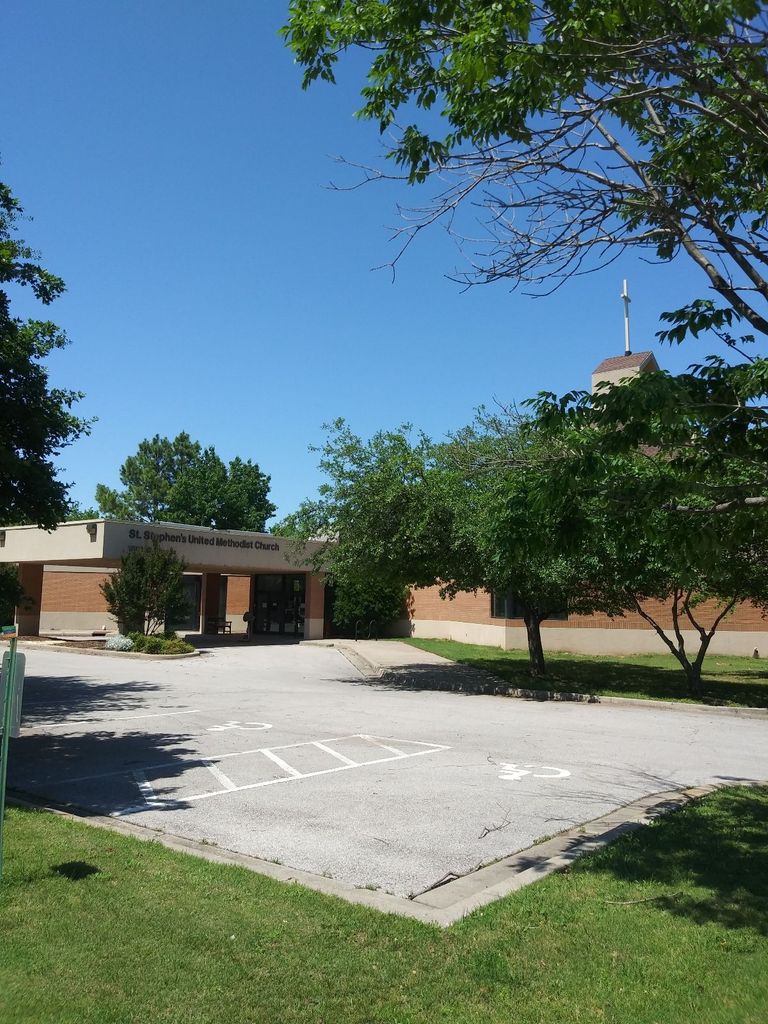
| Description | : | St Stephens United Methodist Church is located at 1801 West Brooks Street, Norman, Oklahoma 73069, which is at the corner of West Brooks and McGee. From Interstate 35, exit and go east on Lindsay Street. At the first stop light at the intersection of Lindsay and McGee, turn left (north) onto McGee. The church is located about three blocks north of Lindsay on the left (west) side of the street. The Columbarium is in the Church courtyard. |
frequently asked questions (FAQ):
-
Where is Saint Stephens UMC Columbarium?
Saint Stephens UMC Columbarium is located at Norman, Cleveland County ,Oklahoma ,USA.
-
Saint Stephens UMC Columbarium cemetery's updated grave count on graveviews.com?
0 memorials
-
Where are the coordinates of the Saint Stephens UMC Columbarium?
Latitude: 35.2081000
Longitude: -97.4684000
Nearby Cemetories:
1. Saint Michael's Episcopal Church Columbarium
Norman, Cleveland County, USA
Coordinate: 35.1900000, -97.4667000
2. Saint Michael's Episcopal Church Memorial Garden
Norman, Cleveland County, USA
Coordinate: 35.1900000, -97.4667000
3. First Presbyterian Church Columbarium
Norman, Cleveland County, USA
Coordinate: 35.2126000, -97.4452000
4. First Christian Church Memorial Gardens
Norman, Cleveland County, USA
Coordinate: 35.2178000, -97.4460000
5. Mex the Dog Burial Site
Norman, Cleveland County, USA
Coordinate: 35.2067000, -97.4422000
6. Saint John's Episcopal Church Columbarium
Norman, Cleveland County, USA
Coordinate: 35.2143160, -97.4426780
7. IOOF Cemetery
Norman, Cleveland County, USA
Coordinate: 35.2439250, -97.4410950
8. Warren Cemetery
Norman, Cleveland County, USA
Coordinate: 35.2402992, -97.5033035
9. Saint Josephs Catholic Cemetery
Norman, Cleveland County, USA
Coordinate: 35.2450490, -97.4410990
10. Rock Creek Road Cemetery
Norman, Cleveland County, USA
Coordinate: 35.2464600, -97.4246140
11. Adkins Cemetery
Goldsby, McClain County, USA
Coordinate: 35.1502991, -97.4518967
12. Pet Memorial Gardens
Norman, Cleveland County, USA
Coordinate: 35.1813700, -97.5381200
13. Independence Cemetery
Norman, Cleveland County, USA
Coordinate: 35.1880989, -97.3696976
14. Lilac Hill Memorial Gardens
Moore, Cleveland County, USA
Coordinate: 35.2923560, -97.4557270
15. Sunset Memorial Park
Norman, Cleveland County, USA
Coordinate: 35.2908310, -97.4079720
16. Ten Mile Flat Cemetery
Norman, Cleveland County, USA
Coordinate: 35.2804146, -97.5473099
17. Smith Cemetery
Moore, Cleveland County, USA
Coordinate: 35.3055992, -97.4935989
18. Newcastle Memorial Gardens
Newcastle, McClain County, USA
Coordinate: 35.2192800, -97.6004220
19. Noble IOOF Cemetery
Noble, Cleveland County, USA
Coordinate: 35.1175003, -97.3783035
20. Jerusalem Cemetery
Washington, McClain County, USA
Coordinate: 35.1032100, -97.5398600
21. Falls Cemetery
Denver, Cleveland County, USA
Coordinate: 35.2328670, -97.3179580
22. Fairview Cemetery
Norman, Cleveland County, USA
Coordinate: 35.3072410, -97.3708050
23. Moore Cemetery
Moore, Cleveland County, USA
Coordinate: 35.3328018, -97.5025024
24. Dripping Springs Cemetery
Noble, Cleveland County, USA
Coordinate: 35.1227989, -97.3341980