
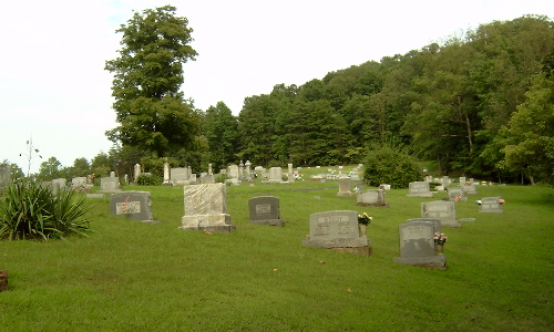
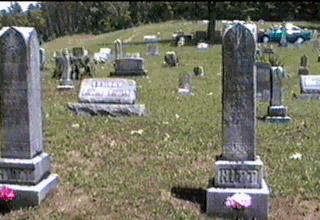
| Memorials | : | 409 |
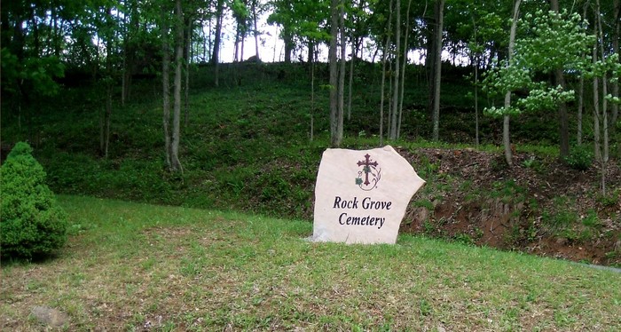
| Location | : | Latonia, Gilmer County, USA |
| Coordinate | : | 39.0125008, -80.7018967 |
| Description | : | Linn is located at the junction of US Route 33, US Route 119 and WV Route 47, north of Glenville. |
frequently asked questions (FAQ):
-
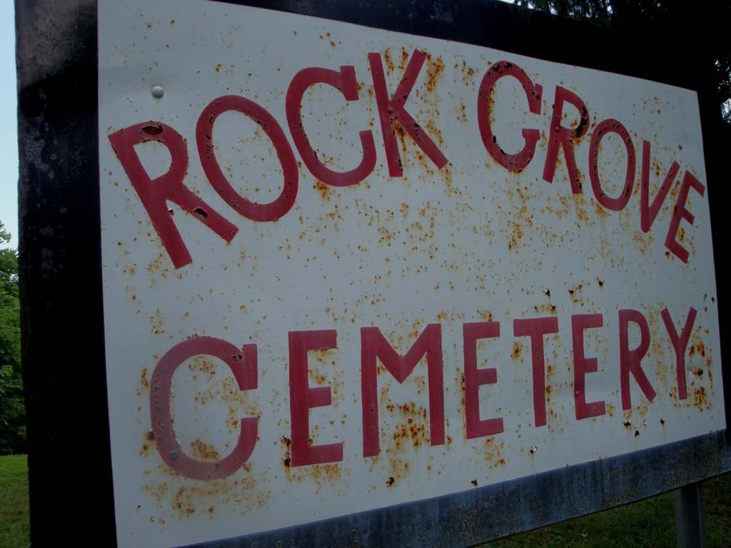
Where is Rock Grove Cemetery?
Rock Grove Cemetery is located at Route 33 E Latonia, Gilmer County ,West Virginia ,USA.
-
Rock Grove Cemetery cemetery's updated grave count on graveviews.com?
409 memorials
-
Where are the coordinates of the Rock Grove Cemetery?
Latitude: 39.0125008
Longitude: -80.7018967
Nearby Cemetories:
1. Moneypenny Cemetery
Alum Bridge, Lewis County, USA
Coordinate: 39.0281466, -80.6809317
2. Woofter Cemetery
Alum Bridge, Lewis County, USA
Coordinate: 39.0299988, -80.6808014
3. Farnsworth Cemetery
Linn, Gilmer County, USA
Coordinate: 39.0177994, -80.7378006
4. Pickerel Cemetery
Baldwin, Gilmer County, USA
Coordinate: 38.9891200, -80.7289800
5. Carder Cemetery
Vadis, Lewis County, USA
Coordinate: 39.0433006, -80.7142029
6. Old Field Fork Cemetery
Lewis County, USA
Coordinate: 38.9827995, -80.6710968
7. Troy IOOF Community Cemetery
Troy, Gilmer County, USA
Coordinate: 39.0281170, -80.7679560
8. Hiney Hill Cemetery
Linn, Gilmer County, USA
Coordinate: 38.9676950, -80.7405600
9. Keith Cemetery
Gilmer County, USA
Coordinate: 38.9561005, -80.6986008
10. Messenger Cemetery
Gilmer County, USA
Coordinate: 38.9714012, -80.7572021
11. Saint Boniface Catholic Cemetery
Camden, Lewis County, USA
Coordinate: 39.0342580, -80.6288680
12. Hurst Cemetery
Lewis County, USA
Coordinate: 39.0741997, -80.6999969
13. Boilon Cemetery
Gilmer County, USA
Coordinate: 38.9519005, -80.6718979
14. Walnut Fork Cemetery
Lewis County, USA
Coordinate: 39.0706910, -80.6644980
15. Schoonover-Dawson Cemetery
Donlan, Gilmer County, USA
Coordinate: 38.9461770, -80.6854790
16. Halderman Cemetery
Lewis County, USA
Coordinate: 39.0821991, -80.7039032
17. Straight Run Cemetery
Hurst, Lewis County, USA
Coordinate: 39.0802994, -80.6774979
18. Rogers Cemetery
Gilmer County, USA
Coordinate: 38.9406013, -80.6936035
19. McHenry Cemetery #1
Sand Fork, Gilmer County, USA
Coordinate: 38.9353310, -80.7162630
20. McHenry Cemetery
Gilmer County, USA
Coordinate: 38.9341870, -80.7130200
21. Conrad Cemetery
Sand Fork, Gilmer County, USA
Coordinate: 38.9364014, -80.7296982
22. Big Run Cemetery
Gilmer County, USA
Coordinate: 39.0802994, -80.7585983
23. Dyer Cemetery
Gilmer County, USA
Coordinate: 38.9319000, -80.7110977
24. Snyder Cemetery Stewarts Creek
Glenville, Gilmer County, USA
Coordinate: 38.9577800, -80.7836100