
| Memorials | : | 69 |
| Location | : | Berkley, Oakland County, USA |
| Phone | : | (248) 541-1154 |
| Website | : | roselandparkcemetery.com |
| Coordinate | : | 42.5060997, -83.1797028 |
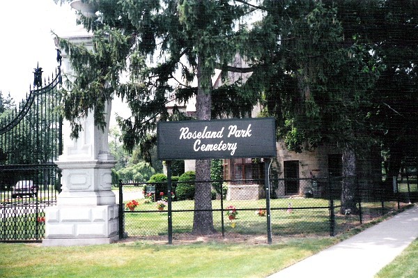
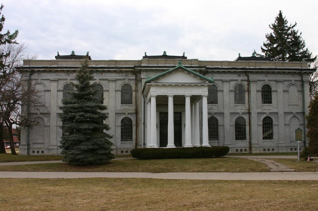
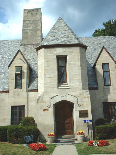
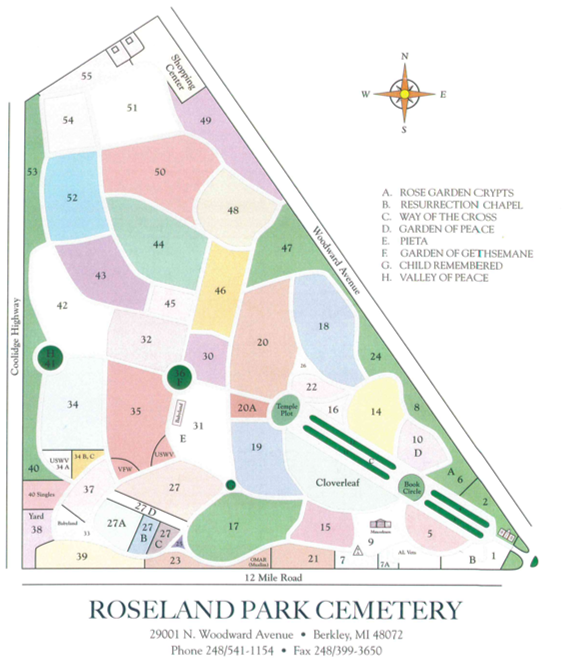
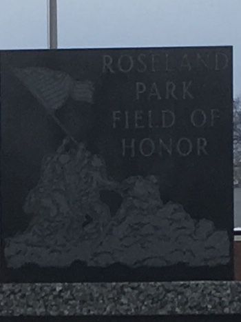
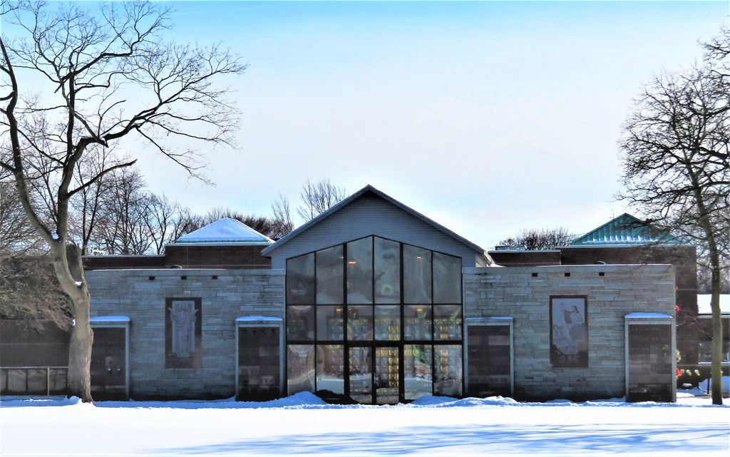
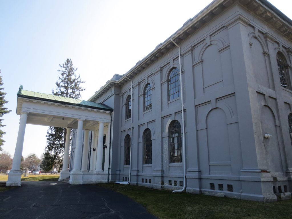
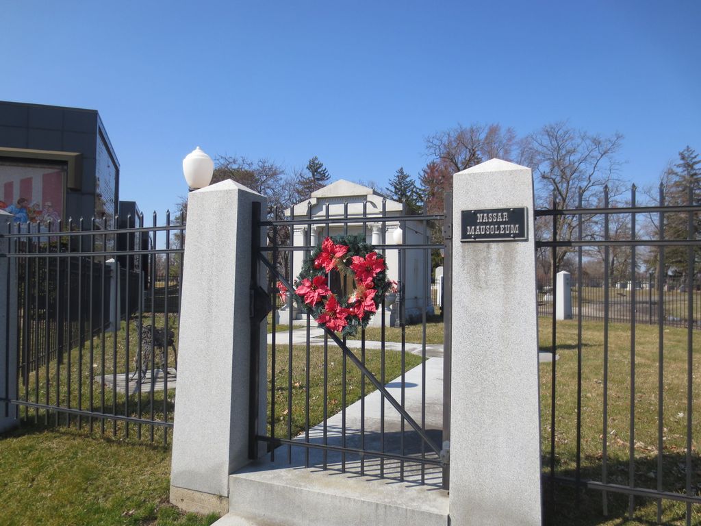
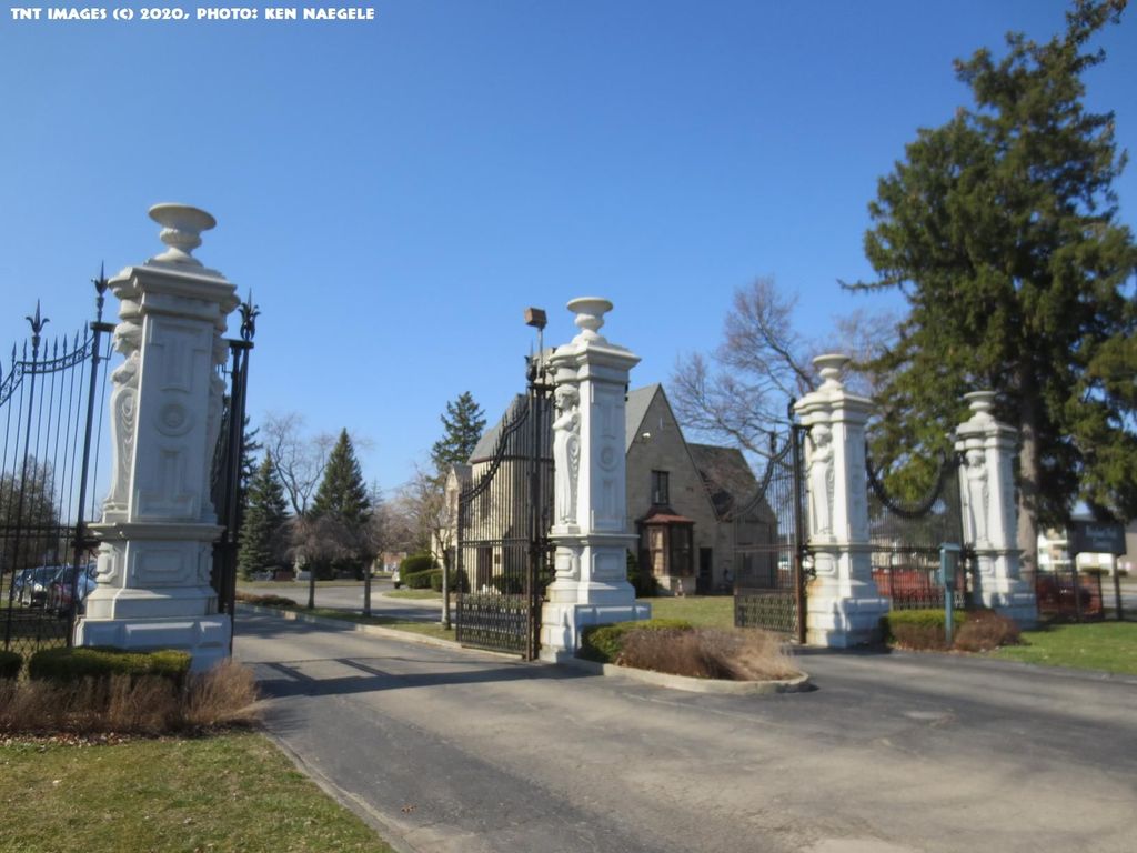
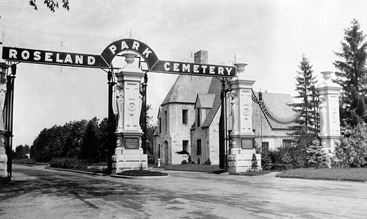
| Description | : | The cemetery has its entrance at the northwest corner of the intersection of Woodward Avenue and Twelve Mile Road. The cemetery is bounded by Woodward Avenue on the east, Twelve Mile Road on the south, Coolidge Highway on the west, and Trafford Road on the north. The cemetery was established in 1906 and is 128 acres in size. The U.S. Geological Survey (USGS) Geographic Names Information System (GNIS) feature ID for the cemetery is 636231 (Roseland Park Cemetery). |
frequently asked questions (FAQ):
-
Where is Roseland Park Cemetery?
Roseland Park Cemetery is located at 29001 Woodward Avenue Berkley, Oakland County ,Michigan , 48072USA.
-
Roseland Park Cemetery cemetery's updated grave count on graveviews.com?
60 memorials
-
Where are the coordinates of the Roseland Park Cemetery?
Latitude: 42.5060997
Longitude: -83.1797028

Nearby Cemetories:
1. Saint David Episcopal Church Columbarium
Southfield, Oakland County, USA
Coordinate: 42.5030990, -83.2096400
2. Saint Johns Episcopal Church Resurrection Garden
Royal Oak, Oakland County, USA
Coordinate: 42.4892970, -83.1574120
3. Royal Oak Cemetery
Royal Oak, Oakland County, USA
Coordinate: 42.5036011, -83.1442032
4. Saint Marys Cemetery
Royal Oak, Oakland County, USA
Coordinate: 42.5002430, -83.1444560
5. Beekman Cemetery
Southfield, Oakland County, USA
Coordinate: 42.5098076, -83.2176285
6. Clover Hill Park Cemetery
Birmingham, Oakland County, USA
Coordinate: 42.5349998, -83.1885986
7. Oakview Cemetery
Royal Oak, Oakland County, USA
Coordinate: 42.5005989, -83.1393967
8. Acacia Park Cemetery
Beverly Hills, Oakland County, USA
Coordinate: 42.5217018, -83.2197037
9. Perrin Cemetery
Troy, Oakland County, USA
Coordinate: 42.5398254, -83.1857605
10. Saint Andrews Memorial Garden
Clawson, Oakland County, USA
Coordinate: 42.5359612, -83.1460571
11. Saint James Episcopal Church Columbarium
Birmingham, Oakland County, USA
Coordinate: 42.5465088, -83.2179642
12. Southfield Reformed Cemetery
Southfield, Oakland County, USA
Coordinate: 42.4848420, -83.2405580
13. First United Methodist Church Memorial Garden
Birmingham, Oakland County, USA
Coordinate: 42.5454370, -83.2330870
14. First Presbyterian Church Columbarium
Birmingham, Oakland County, USA
Coordinate: 42.5463380, -83.2351040
15. Greenwood Cemetery
Birmingham, Oakland County, USA
Coordinate: 42.5539017, -83.2238998
16. Lutheran Church of the Redeemer Columbarium
Birmingham, Oakland County, USA
Coordinate: 42.5463540, -83.2373950
17. Congregation Beth Tefilo Cemetery
Ferndale, Oakland County, USA
Coordinate: 42.4536819, -83.1303940
18. Machpelah Cemetery
Ferndale, Oakland County, USA
Coordinate: 42.4525470, -83.1295570
19. Dun Scotus - Franciscan Catholic Cemetery
Southfield, Oakland County, USA
Coordinate: 42.4609690, -83.2437940
20. Beth Abraham Cemetery
Ferndale, Oakland County, USA
Coordinate: 42.4508290, -83.1285990
21. Pioneer Cemetery
Southfield, Oakland County, USA
Coordinate: 42.4749140, -83.2603170
22. Crooks Road Cemetery
Troy, Oakland County, USA
Coordinate: 42.5727997, -83.1680984
23. Southfield Cemetery
Southfield, Oakland County, USA
Coordinate: 42.4749985, -83.2608032
24. Northbrook Presbyterian Church Columbarium
Beverly Hills, Oakland County, USA
Coordinate: 42.5297550, -83.2657280