
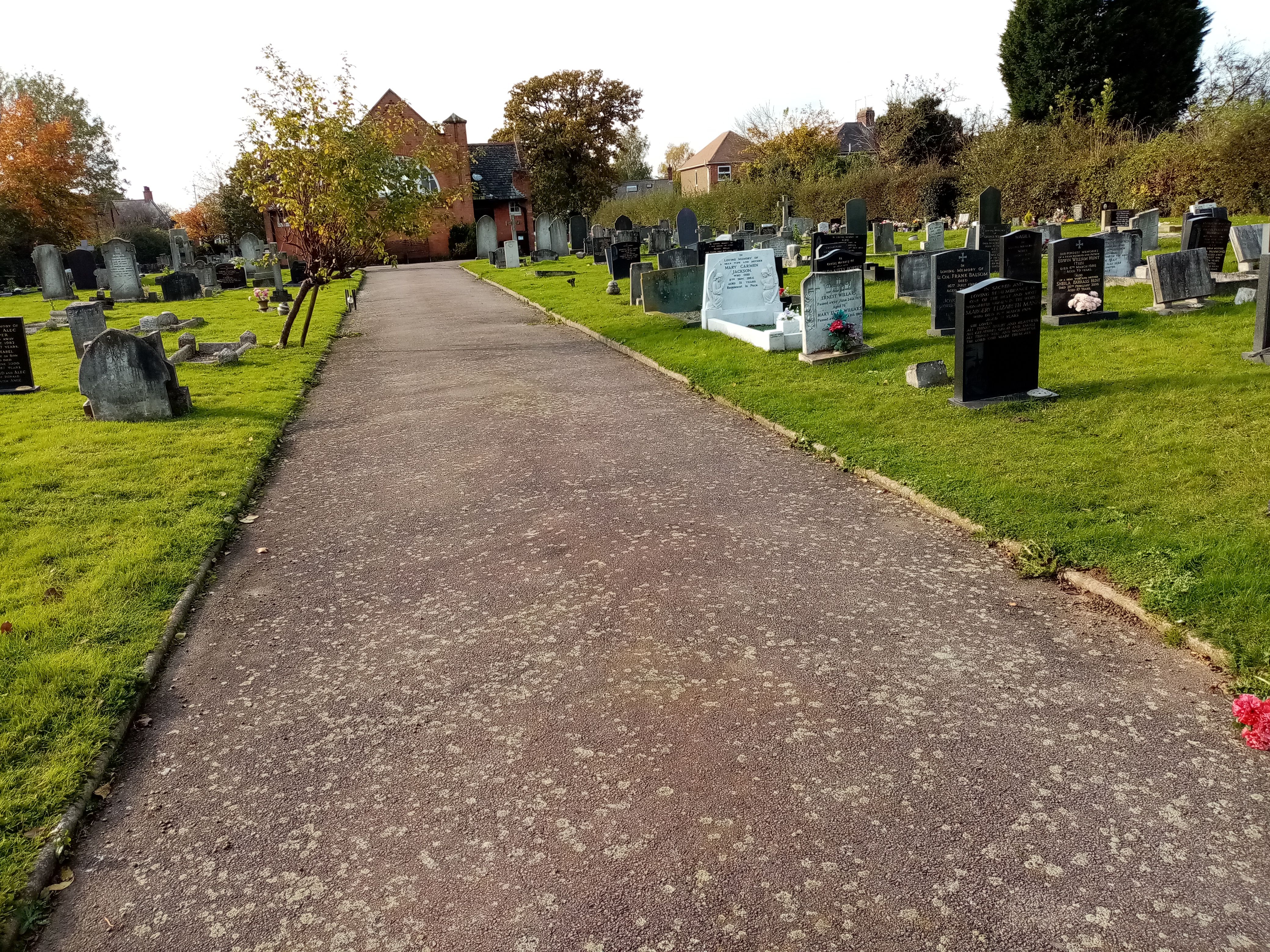
| Memorials | : | 27 |
| Location | : | Rothley, Charnwood Borough, England |
| Coordinate | : | 52.7162850, -1.1367740 |
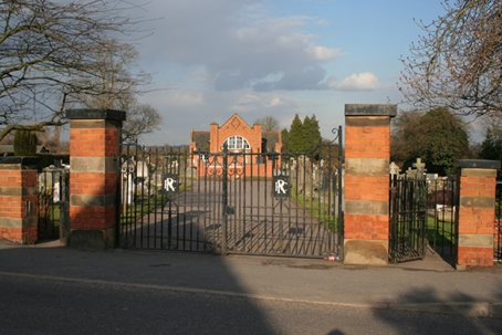
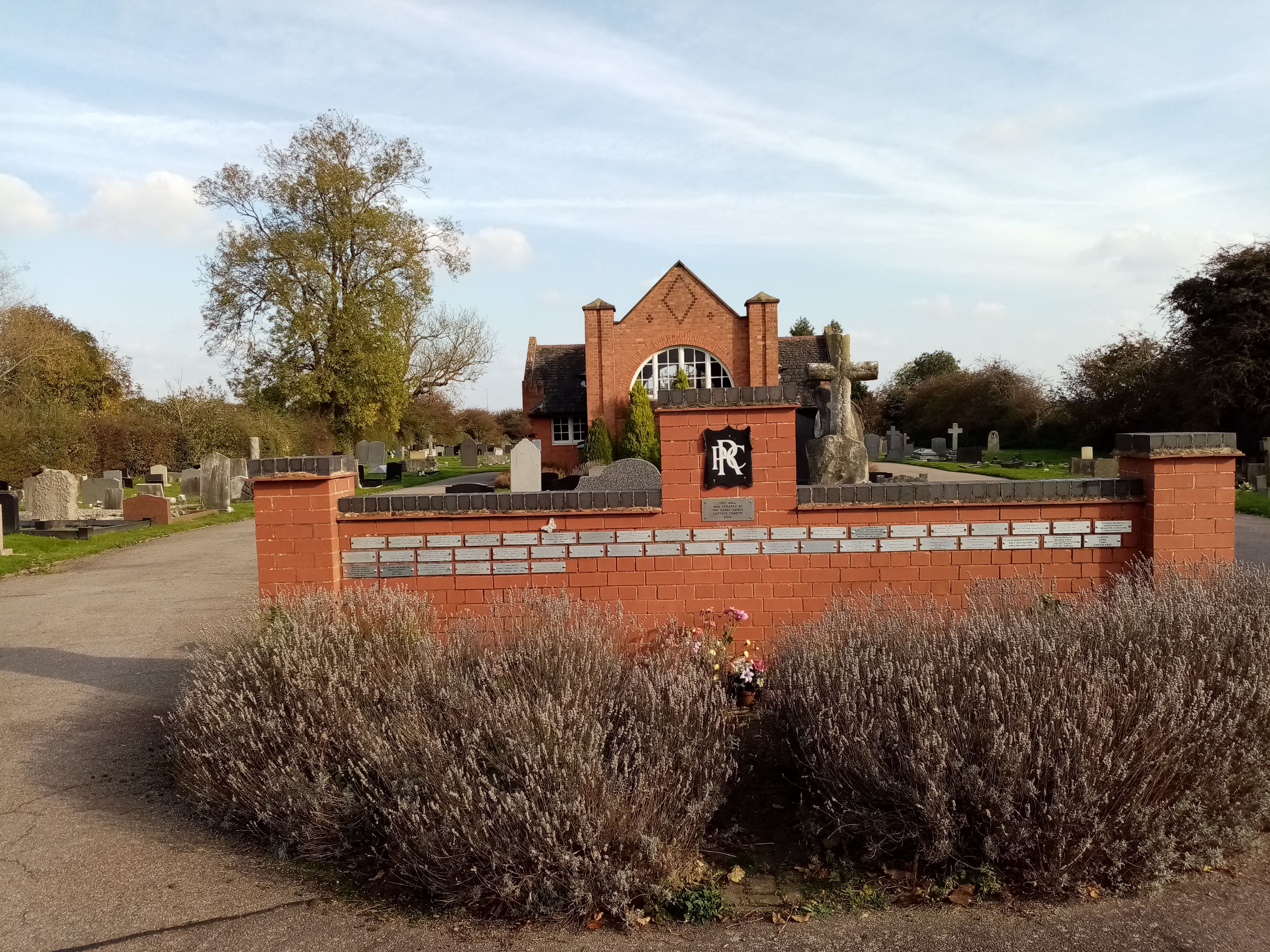
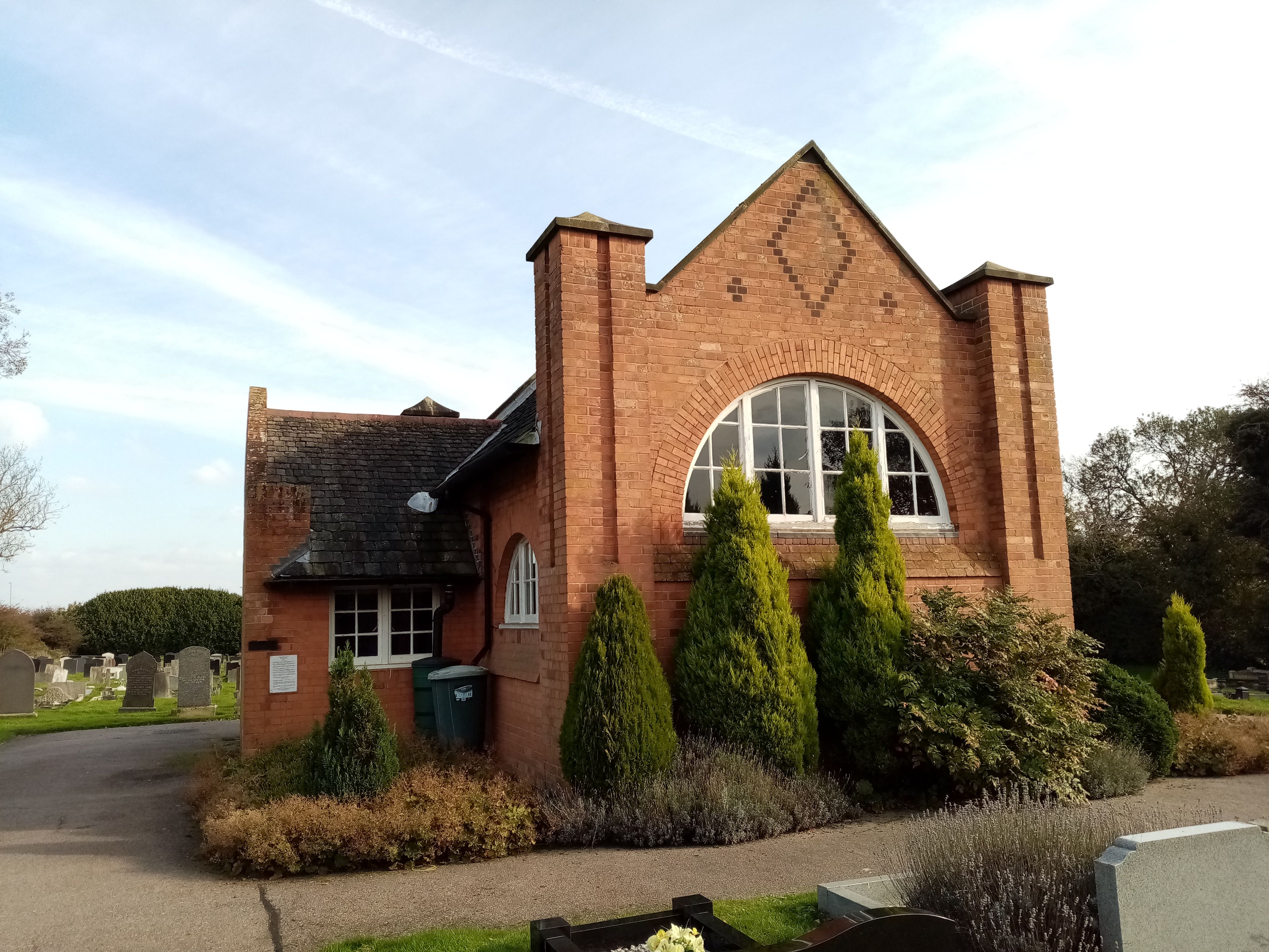
| Description | : | Cemetery includes a chapel built in 1904. |
frequently asked questions (FAQ):
-
Where is Rothley Cemetery?
Rothley Cemetery is located at Mountsorrel Lane Rothley, Charnwood Borough ,Leicestershire , LE7 7PTEngland.
-
Rothley Cemetery cemetery's updated grave count on graveviews.com?
27 memorials
-
Where are the coordinates of the Rothley Cemetery?
Latitude: 52.7162850
Longitude: -1.1367740
Nearby Cemetories:
1. St. Mary and St. John Churchyard
Rothley, Charnwood Borough, England
Coordinate: 52.7083290, -1.1340270
2. Christchurch Churchyard
Mountsorrel, Charnwood Borough, England
Coordinate: 52.7268480, -1.1409340
3. Chapel of the Knights Templar
Rothley, Charnwood Borough, England
Coordinate: 52.7056000, -1.1478000
4. St. Peter's Churchyard
Mountsorrel, Charnwood Borough, England
Coordinate: 52.7304450, -1.1408620
5. All Saints Churchyard
Cossington, Charnwood Borough, England
Coordinate: 52.7173590, -1.1073300
6. St. Mary's Churchyard
Sileby, Charnwood Borough, England
Coordinate: 52.7308600, -1.1121420
7. Mountsorrel Cemetery
Mountsorrel, Charnwood Borough, England
Coordinate: 52.7378380, -1.1547880
8. Sileby Cemetery
Sileby, Charnwood Borough, England
Coordinate: 52.7299340, -1.1004210
9. St. Leonard's Churchyard
Swithland, Charnwood Borough, England
Coordinate: 52.7103000, -1.1800300
10. Our Lady and St. Nicholas Churchyard
Wanlip, Charnwood Borough, England
Coordinate: 52.6910000, -1.1150000
11. All Saints Churchyard
Thurcaston, Charnwood Borough, England
Coordinate: 52.6906870, -1.1647320
12. Quorn Baptist Churchyard
Quorn, Charnwood Borough, England
Coordinate: 52.7407600, -1.1753200
13. St Bartholomews Parish Churchyard
Quorn, Charnwood Borough, England
Coordinate: 52.7440274, -1.1703330
14. Greengate Lane Cemetery
Birstall, Charnwood Borough, England
Coordinate: 52.6800110, -1.1346940
15. Holy Trinity Churchyard
Barrow-upon-Soar, Charnwood Borough, England
Coordinate: 52.7526930, -1.1470900
16. Ratcliffe College
Ratcliffe on the Wreake, Charnwood Borough, England
Coordinate: 52.7294430, -1.0758320
17. Saint Peter & Saint Paul's Churchyard
Syston, Charnwood Borough, England
Coordinate: 52.7007410, -1.0746400
18. St Botolphs Churchyard
Ratcliffe on the Wreake, Charnwood Borough, England
Coordinate: 52.7248680, -1.0680400
19. St. Mary in the Elms Churchyard
Woodhouse, Charnwood Borough, England
Coordinate: 52.7313280, -1.2039850
20. St James the Great Churchyard
Birstall, Charnwood Borough, England
Coordinate: 52.6741150, -1.1189210
21. Thurmaston Parish Church Leicestershire
Leicester Unitary Authority, England
Coordinate: 52.6785900, -1.0993062
22. St Michael and All Angels Churchyard
Thurmaston, Charnwood Borough, England
Coordinate: 52.6785630, -1.0989530
23. Thurmaston Cemetery
Thurmaston, Charnwood Borough, England
Coordinate: 52.6788150, -1.0948670
24. Seagrave Swan Street Cemetery
Seagrave, Charnwood Borough, England
Coordinate: 52.7520370, -1.0883200