
| Memorials | : | 82 |
| Location | : | Birstall, Charnwood Borough, England |
| Website | : | www.birstallparishcouncil.org.uk/cemeteries.html |
| Coordinate | : | 52.6800110, -1.1346940 |
frequently asked questions (FAQ):
-
Where is Greengate Lane Cemetery?
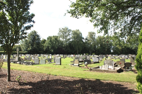
Greengate Lane Cemetery is located at Birstall, Charnwood Borough ,Leicestershire ,England.
-
Greengate Lane Cemetery cemetery's updated grave count on graveviews.com?
82 memorials
-
Where are the coordinates of the Greengate Lane Cemetery?
Latitude: 52.6800110
Longitude: -1.1346940
Nearby Cemetories:
1. St James the Great Churchyard
Birstall, Charnwood Borough, England
Coordinate: 52.6741150, -1.1189210
2. Belgrave Cemetery
Belgrave, Leicester Unitary Authority, England
Coordinate: 52.6653570, -1.1311220
3. Our Lady and St. Nicholas Churchyard
Wanlip, Charnwood Borough, England
Coordinate: 52.6910000, -1.1150000
4. All Saints Churchyard
Thurcaston, Charnwood Borough, England
Coordinate: 52.6906870, -1.1647320
5. St. Peter's Churchyard
Belgrave, Leicester Unitary Authority, England
Coordinate: 52.6594208, -1.1255690
6. Thurmaston Parish Church Leicestershire
Leicester Unitary Authority, England
Coordinate: 52.6785900, -1.0993062
7. St Michael and All Angels Churchyard
Thurmaston, Charnwood Borough, England
Coordinate: 52.6785630, -1.0989530
8. Thurmaston Cemetery
Thurmaston, Charnwood Borough, England
Coordinate: 52.6788150, -1.0948670
9. Chapel of the Knights Templar
Rothley, Charnwood Borough, England
Coordinate: 52.7056000, -1.1478000
10. St. Mary and St. John Churchyard
Rothley, Charnwood Borough, England
Coordinate: 52.7083290, -1.1340270
11. Leicester Abbey
Leicester, Leicester Unitary Authority, England
Coordinate: 52.6489600, -1.1369470
12. St Mary's Church
Anstey, Charnwood Borough, England
Coordinate: 52.6720090, -1.1888250
13. Rothley Cemetery
Rothley, Charnwood Borough, England
Coordinate: 52.7162850, -1.1367740
14. Gilroes Cemetery and Crematorium
Leicester, Leicester Unitary Authority, England
Coordinate: 52.6514359, -1.1721700
15. Anstey Cemetery
Anstey, Charnwood Borough, England
Coordinate: 52.6680480, -1.1955570
16. St Margaret Churchyard
Leicester, Leicester Unitary Authority, England
Coordinate: 52.6403430, -1.1363440
17. All Saints Churchyard
Cossington, Charnwood Borough, England
Coordinate: 52.7173590, -1.1073300
18. St. Leonard's Churchyard
Swithland, Charnwood Borough, England
Coordinate: 52.7103000, -1.1800300
19. Saint Peter & Saint Paul's Churchyard
Syston, Charnwood Borough, England
Coordinate: 52.7007410, -1.0746400
20. All Saints Church
Leicester, Leicester Unitary Authority, England
Coordinate: 52.6381940, -1.1403170
21. Great Meeting Unitarian Chapel
Leicester, Leicester Unitary Authority, England
Coordinate: 52.6379400, -1.1360390
22. Syston Cemetery
Syston, Charnwood Borough, England
Coordinate: 52.6951100, -1.0675000
23. St. Nicholas Church
Leicester, Leicester Unitary Authority, England
Coordinate: 52.6351400, -1.1408940
24. Leicester Cathedral
Leicester, Leicester Unitary Authority, England
Coordinate: 52.6347430, -1.1370210