
| Memorials | : | 5 |
| Location | : | Round Peak, Surry County, USA |
| Coordinate | : | 36.5145264, -80.7861633 |
| Description | : | From the intersection of Round Peak Church Road and West Pine Street (NC Highway 89), travel 2.8 miles on Round Peak Church Road; the gravel road leading to the church and cemetery will be on the right. |
frequently asked questions (FAQ):
-
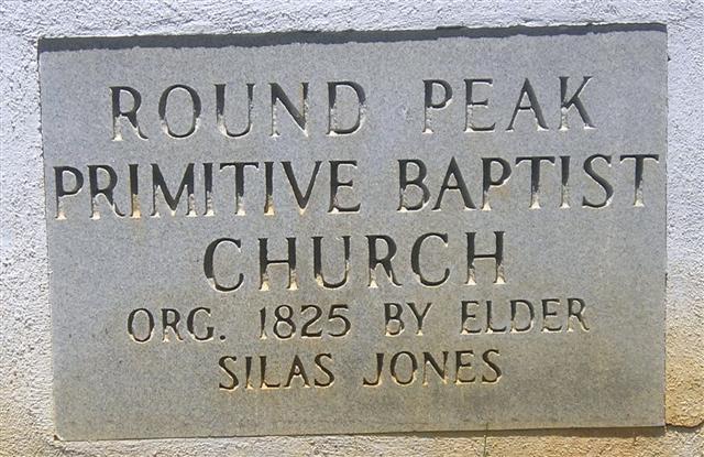
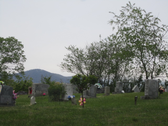
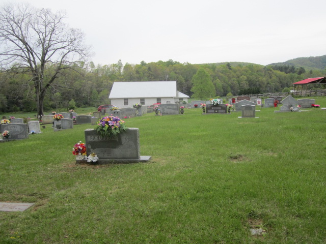
Where is Round Peak Primitive Baptist Church Cemetery?
Round Peak Primitive Baptist Church Cemetery is located at 1504 Round Peak Church Road Round Peak, Surry County ,North Carolina , 27030USA.
-
Round Peak Primitive Baptist Church Cemetery cemetery's updated grave count on graveviews.com?
5 memorials
-
Where are the coordinates of the Round Peak Primitive Baptist Church Cemetery?
Latitude: 36.5145264
Longitude: -80.7861633
Nearby Cemetories:
1. Payne Cemetery
Lowgap, Surry County, USA
Coordinate: 36.4947220, -80.7928060
2. Holder Cemetery
Lowgap, Surry County, USA
Coordinate: 36.5364670, -80.7875720
3. Jarrell Family Graveyard
Lowgap, Surry County, USA
Coordinate: 36.5362520, -80.7798310
4. Moore Family Cemetery
Mount Airy, Surry County, USA
Coordinate: 36.4919910, -80.7741450
5. Ivy Green Baptist Church Cemetery
Crooked Oak, Surry County, USA
Coordinate: 36.5381927, -80.7771683
6. Beulah United Methodist Church Cemetery
Beulah, Surry County, USA
Coordinate: 36.4865160, -80.7795830
7. Zion Hill Primitive Baptist Church Cemetery
Crooked Oak, Surry County, USA
Coordinate: 36.5313339, -80.7572250
8. Mount Vernon Baptist Church Cemetery
Beulah, Surry County, USA
Coordinate: 36.5003624, -80.8213882
9. Golding Family Cemetery
Mount Airy, Surry County, USA
Coordinate: 36.5326670, -80.7528330
10. Low Family Cemetery
Lowgap, Surry County, USA
Coordinate: 36.5461430, -80.7985910
11. Jarrell Family Cemetery
Lowgap, Surry County, USA
Coordinate: 36.5427860, -80.8103660
12. Blue Ridge Baptist Church Cemetery
Crooked Oak, Surry County, USA
Coordinate: 36.5490440, -80.7727400
13. Dillard Family Cemetery
Lowgap, Surry County, USA
Coordinate: 36.5500298, -80.8002243
14. Montgomery Cemetery
Surry County, USA
Coordinate: 36.5439722, -80.8204722
15. Barker Graveyard
Lowgap, Surry County, USA
Coordinate: 36.5295540, -80.8340600
16. Johnson Puckett Cemetery
Mount Airy, Surry County, USA
Coordinate: 36.5306740, -80.7362830
17. Oak Grove Baptist Church Cemetery
Oak Grove (Bottom), Surry County, USA
Coordinate: 36.4788770, -80.7540890
18. Holy Cross Missionary Baptist Church Cemetery
Beulah, Surry County, USA
Coordinate: 36.4702640, -80.7655040
19. Phillip Haywood McBride Family Cemetery
Lowgap, Surry County, USA
Coordinate: 36.5602950, -80.7678630
20. Furbee Cemetery
Wetzel County, USA
Coordinate: 36.5363984, -80.7316687
21. Country Baptist Church Cemetery
Beulah, Surry County, USA
Coordinate: 36.4662230, -80.7760980
22. Cockerham Family Cemetery
Lowgap, Surry County, USA
Coordinate: 36.5284720, -80.8465830
23. McCraw Cemetery
Beulah, Surry County, USA
Coordinate: 36.4671370, -80.7626220
24. Snow Cemetery
Mount Airy, Surry County, USA
Coordinate: 36.5422500, -80.7299170