
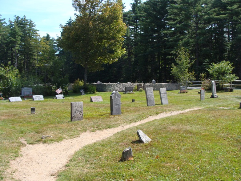
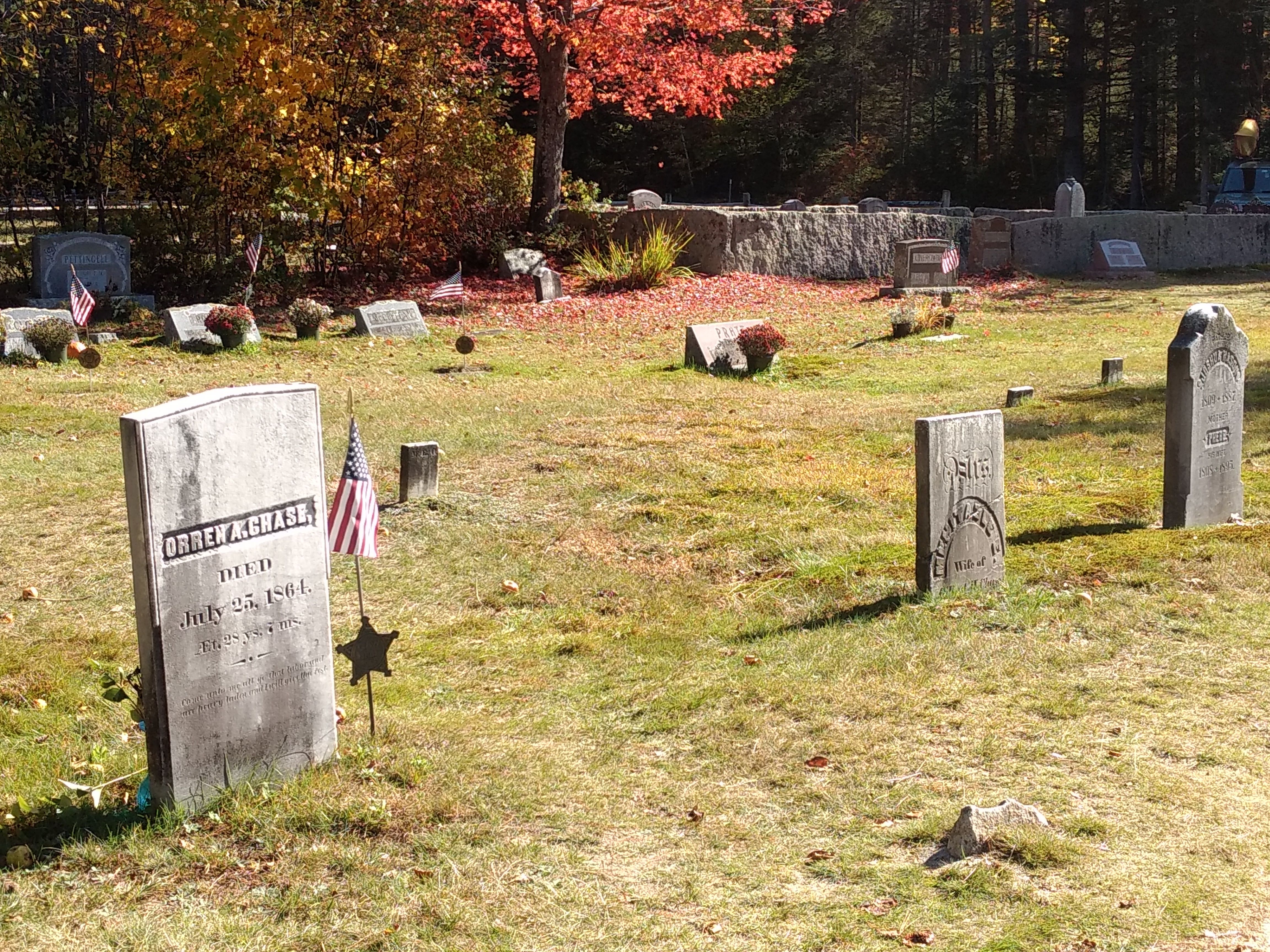
| Memorials | : | 63 |
| Location | : | Passaconaway, Carroll County, USA |
| Coordinate | : | 43.9955700, -71.3391750 |
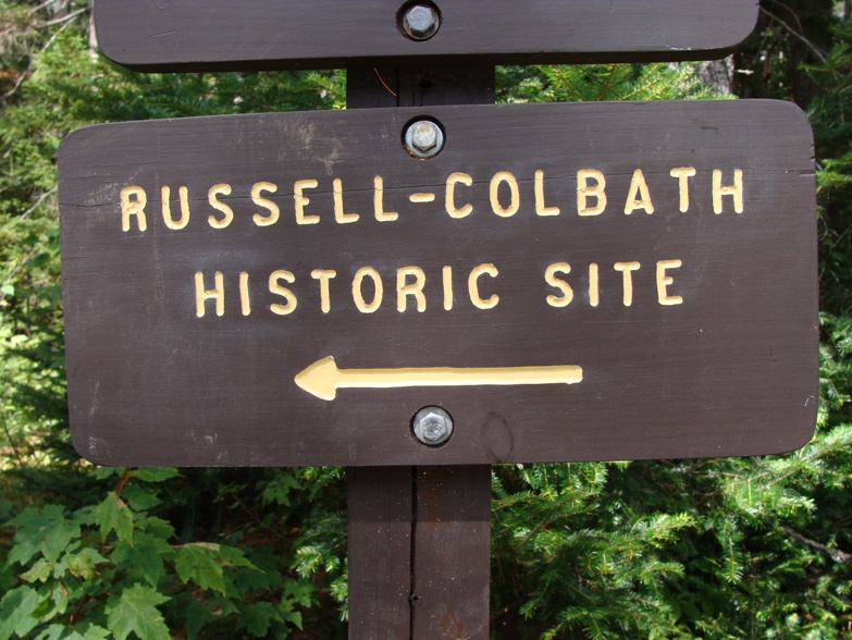
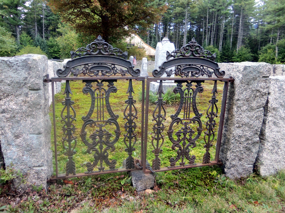
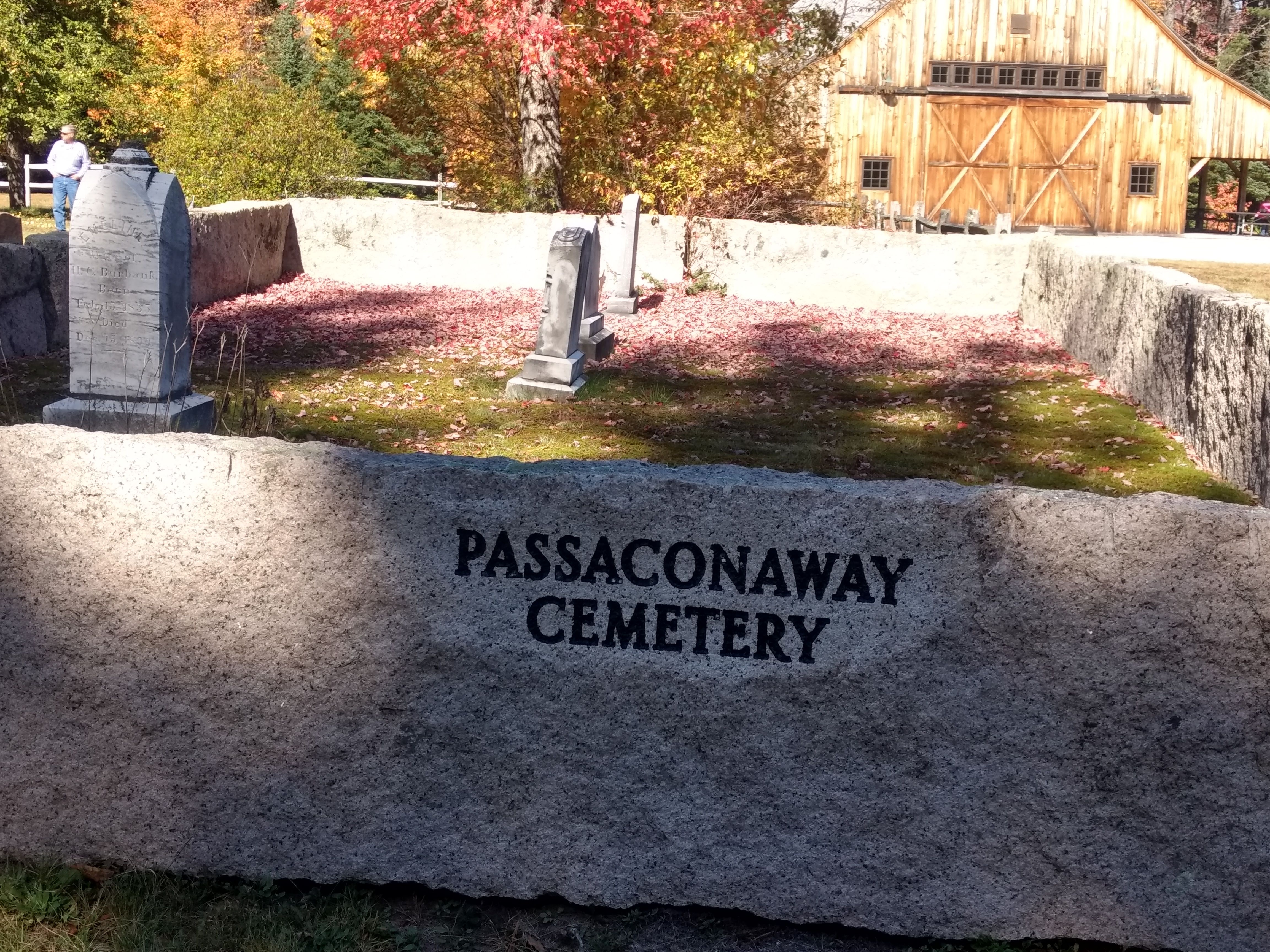
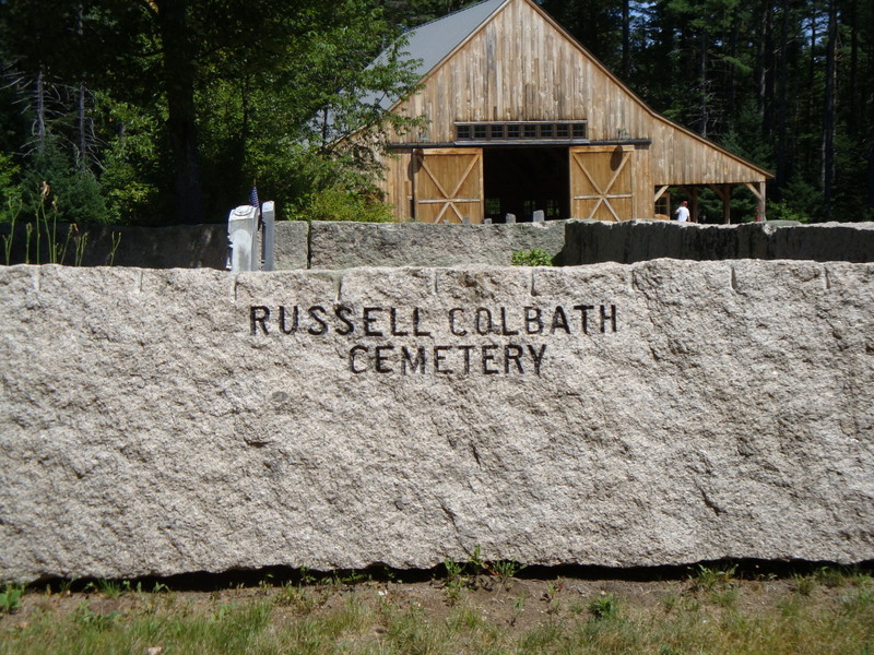
| Description | : | This cemetery is on the north side of the Kancamagus Highway near the Russell-Colbath Historic site and just west of the Jigger Johnson Campground. New Hampshire Old Graveyard Association database cemetery code A02-004 |
frequently asked questions (FAQ):
-
Where is Russell-Colbath Cemetery?
Russell-Colbath Cemetery is located at Kancamagus Highway (New Hampshire 112) Passaconaway, Carroll County ,New Hampshire , 03818USA.
-
Russell-Colbath Cemetery cemetery's updated grave count on graveviews.com?
2 memorials
-
Where are the coordinates of the Russell-Colbath Cemetery?
Latitude: 43.9955700
Longitude: -71.3391750
Nearby Cemetories:
1. Allard Family Cemetery
Albany, Carroll County, USA
Coordinate: 44.0058460, -71.2403570
2. Jewell Cemetery
Albany, Carroll County, USA
Coordinate: 43.9137540, -71.3584110
3. Moulton Cemetery
Bartlett, Carroll County, USA
Coordinate: 44.0791000, -71.3203000
4. Stillings-Towle Cemetery
Bartlett, Carroll County, USA
Coordinate: 44.0763630, -71.2931880
5. Walden Burial Site at Wonalancet Union Chapel
Wonalancet, Carroll County, USA
Coordinate: 43.9079000, -71.3493000
6. Glidden Field Cemetery
Bartlett, Carroll County, USA
Coordinate: 44.0834000, -71.3465000
7. Wonalancet Cemetery
Wonalancet, Carroll County, USA
Coordinate: 43.9077000, -71.3480000
8. Doctors Cemetery
Bartlett, Carroll County, USA
Coordinate: 44.0844800, -71.2864200
9. Old Catholic Cemetery
Bartlett, Carroll County, USA
Coordinate: 44.0856300, -71.2773700
10. Rogers Cemetery
Bartlett, Carroll County, USA
Coordinate: 44.0845460, -71.2736800
11. Fowlers Mill Cemetery
Tamworth, Carroll County, USA
Coordinate: 43.8959600, -71.3004300
12. Saint Josephs Cemetery
Bartlett, Carroll County, USA
Coordinate: 44.0800781, -71.2540054
13. Hammond Cemetery
Albany, Carroll County, USA
Coordinate: 43.9383330, -71.2152780
14. Garland Ridge Cemetery
Bartlett, Carroll County, USA
Coordinate: 44.0819776, -71.2455224
15. Moody Cemetery
Albany, Carroll County, USA
Coordinate: 43.9560000, -71.1927000
16. Whiteface Intervale Cemetery
Sandwich, Carroll County, USA
Coordinate: 43.8911000, -71.3998000
17. Canada Street Cemetery
Albany, Carroll County, USA
Coordinate: 43.9957000, -71.1798000
18. Pease Cemetery
Tamworth, Carroll County, USA
Coordinate: 43.8782000, -71.3413000
19. Nancy Barton Burial Site
Hart's Location, Carroll County, USA
Coordinate: 44.1127500, -71.3545700
20. Nealley-Head Cemetery
Tamworth, Carroll County, USA
Coordinate: 43.9141000, -71.2199000
21. Notchland Inn Cemetery
Hart's Location, Carroll County, USA
Coordinate: 44.1150820, -71.3559820
22. Waterville Valley Cemetery
Waterville Valley, Grafton County, USA
Coordinate: 43.9634670, -71.5087000
23. High Street Cemetery
Albany, Carroll County, USA
Coordinate: 44.0026000, -71.1580000
24. Weeds Mills Cemetery
North Sandwich, Carroll County, USA
Coordinate: 43.8678460, -71.3950260