
| Memorials | : | 0 |
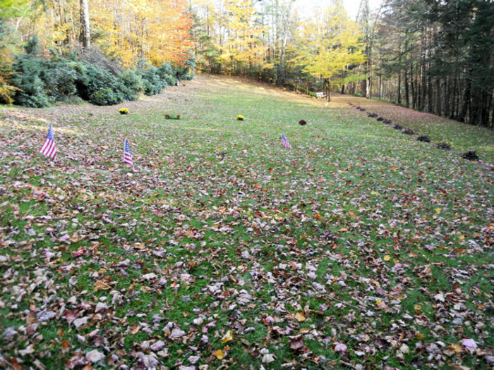
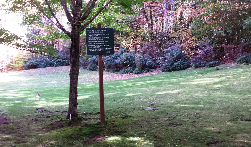
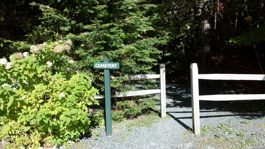
| Location | : | Waterville Valley, Grafton County, USA |
| Coordinate | : | 43.9634670, -71.5087000 |
frequently asked questions (FAQ):
-
Where is Waterville Valley Cemetery?
Waterville Valley Cemetery is located at Boulder Path Road Waterville Valley, Grafton County ,New Hampshire ,USA.
-
Waterville Valley Cemetery cemetery's updated grave count on graveviews.com?
0 memorials
-
Where are the coordinates of the Waterville Valley Cemetery?
Latitude: 43.9634670
Longitude: -71.5087000
Nearby Cemetories:
1. Burbank Foss Cemetery
Campton Lower Village, Grafton County, USA
Coordinate: 43.8955730, -71.5667000
2. Packard Graveyard
Thornton, Grafton County, USA
Coordinate: 43.8971540, -71.5845930
3. Wildcat Cemetery
Thornton, Grafton County, USA
Coordinate: 43.9909710, -71.6391440
4. Whiteface Intervale Cemetery
Sandwich, Carroll County, USA
Coordinate: 43.8911000, -71.3998000
5. Mad River Cemetery
Thornton, Grafton County, USA
Coordinate: 43.8833670, -71.6077500
6. Jewell Cemetery
Albany, Carroll County, USA
Coordinate: 43.9137540, -71.3584110
7. Mason Cemetery
North Sandwich, Carroll County, USA
Coordinate: 43.8542000, -71.4426000
8. Mount Delight Burying Ground
North Sandwich, Carroll County, USA
Coordinate: 43.8385671, -71.5158940
9. Morse Cemetery
Center Sandwich, Carroll County, USA
Coordinate: 43.8534300, -71.4241600
10. Weeds Mills Cemetery
North Sandwich, Carroll County, USA
Coordinate: 43.8678460, -71.3950260
11. Russell-Colbath Cemetery
Passaconaway, Carroll County, USA
Coordinate: 43.9955700, -71.3391750
12. Woodstock Cemetery
Woodstock, Grafton County, USA
Coordinate: 43.9827600, -71.6827500
13. Walden Burial Site at Wonalancet Union Chapel
Wonalancet, Carroll County, USA
Coordinate: 43.9079000, -71.3493000
14. Wonalancet Cemetery
Wonalancet, Carroll County, USA
Coordinate: 43.9077000, -71.3480000
15. Pine Grove Cemetery
Thornton, Grafton County, USA
Coordinate: 43.9060100, -71.6689000
16. Campton Village Cemetery
Campton, Grafton County, USA
Coordinate: 43.8654440, -71.6364380
17. Weed Cemetery
North Sandwich, Carroll County, USA
Coordinate: 43.8567140, -71.3907470
18. Quinby Cemetery
North Sandwich, Carroll County, USA
Coordinate: 43.8433000, -71.4148000
19. Parker Cemetery
Woodstock, Grafton County, USA
Coordinate: 44.0193000, -71.6839700
20. Israel Gilman Cemetery
Sandwich Landing, Carroll County, USA
Coordinate: 43.8268727, -71.4757671
21. West Thornton Cemetery
Thornton, Grafton County, USA
Coordinate: 43.8997200, -71.6805600
22. Blake Mountain Cemetery
Thornton, Grafton County, USA
Coordinate: 43.8963600, -71.6794200
23. Yeaton Cemetery
Thornton, Grafton County, USA
Coordinate: 43.8963800, -71.6794500
24. North Sandwich Friends Cemetery
North Sandwich, Carroll County, USA
Coordinate: 43.8607300, -71.3636400