
| Memorials | : | 0 |
| Location | : | Ruurlo, Berkelland Municipality, Netherlands |
| Coordinate | : | 52.0916500, 6.4642800 |
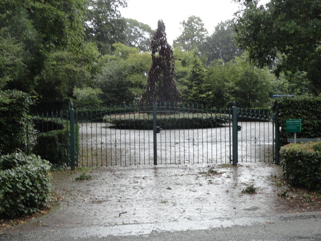
| Description | : | Ruurlo is a small town 50 kilometres north-east of Arnhem and 18 kilometres south-east of Zutphen. The cemetery lies 730 metres north-east of the town centre, on the south side of the road to Borculo. |
frequently asked questions (FAQ):
-
Where is Ruurlo General Cemetery?
Ruurlo General Cemetery is located at Ruurlo, Berkelland Municipality ,Gelderland ,Netherlands.
-
Ruurlo General Cemetery cemetery's updated grave count on graveviews.com?
0 memorials
-
Where are the coordinates of the Ruurlo General Cemetery?
Latitude: 52.0916500
Longitude: 6.4642800
Nearby Cemetories:
1. Ruurlo Achter Zieuwent Roman Catholic Churchyard
Ruurlo, Berkelland Municipality, Netherlands
Coordinate: 52.0833700, 6.4508500
2. Barchem General Cemetery
Barchem, Lochem Municipality, Netherlands
Coordinate: 52.1246000, 6.4415400
3. Joodse Begraafplaats
Borculo, Berkelland Municipality, Netherlands
Coordinate: 52.1199100, 6.5173000
4. Borculo General Cemetery
Borculo, Berkelland Municipality, Netherlands
Coordinate: 52.1183000, 6.5198400
5. Joodse Begraafplaats
Vorden, Bronckhorst Municipality, Netherlands
Coordinate: 52.1141700, 6.3546100
6. Lochem Nieuwe Begraafplaats
Lochem, Lochem Municipality, Netherlands
Coordinate: 52.1497700, 6.3964500
7. Joodse Begraafplaats
Lochem Municipality, Netherlands
Coordinate: 52.1566170, 6.4106750
8. Begraafplaats Haarlo
Haarlo, Berkelland Municipality, Netherlands
Coordinate: 52.1105311, 6.5814055
9. Vorden General Cemetery
Vorden, Bronckhorst Municipality, Netherlands
Coordinate: 52.1110620, 6.3307630
10. Drostenkamp Cemetery
Neede, Berkelland Municipality, Netherlands
Coordinate: 52.1435200, 6.5936000
11. Hengelo Gelderland General Cemetery
Hengelo, Bronckhorst Municipality, Netherlands
Coordinate: 52.0497300, 6.3137100
12. Halle Protestant Cemetery
Halle, Bronckhorst Municipality, Netherlands
Coordinate: 51.9921000, 6.4249400
13. Nieuwe Hervormde Begraafplaats
Groenlo, Oost Gelre Municipality, Netherlands
Coordinate: 52.0455970, 6.6166189
14. Joodse Begraafsplaats
Groenlo, Oost Gelre Municipality, Netherlands
Coordinate: 52.0448890, 6.6163030
15. Groenlo Roman Catholic Cemetery
Groenlo, Oost Gelre Municipality, Netherlands
Coordinate: 52.0350700, 6.6137700
16. Zelhem General Cemetery
Zelhem, Bronckhorst Municipality, Netherlands
Coordinate: 52.0097400, 6.3484600
17. Diepenheim New General Cemetery
Diepenheim, Hof van Twente Municipality, Netherlands
Coordinate: 52.1971200, 6.5427900
18. Joodse begraafplaats
Eibergen, Berkelland Municipality, Netherlands
Coordinate: 52.1063400, 6.6546300
19. Eibergen Protestant Cemetery
Eibergen, Berkelland Municipality, Netherlands
Coordinate: 52.1125000, 6.6534600
20. Sint-Willibrorduskerkhof
Wichmond, Bronckhorst Municipality, Netherlands
Coordinate: 52.0931500, 6.2545600
21. Joodse Begraafplaats
Diepenheim, Hof van Twente Municipality, Netherlands
Coordinate: 52.2102900, 6.5517900
22. Lichtenvoorde General Cemetery
Lichtenvoorde, Oost Gelre Municipality, Netherlands
Coordinate: 51.9886300, 6.5968600
23. Warnsveld Cemetery
Warnsveld, Zutphen Municipality, Netherlands
Coordinate: 52.1350600, 6.2543600
24. Almen Cemetery
Almen, Lochem Municipality, Netherlands
Coordinate: 52.1738500, 6.2861500